2020s Maps of Uvalde County, Texas
Explore 34 historic maps of Uvalde County from the 2020s. These maps offer a rare glimpse into what life looked like during the 2020s — showing old roads, neighborhoods, homes, and landmarks that have changed or disappeared over time.
Whether you're researching your family's past, planning a metal detecting trip, or studying how Uvalde County's landscape evolved across the 2020s, these high-resolution maps are a powerful tool for exploring the history of this region.
- Focus on a specific era: All maps on this page are from the 2020s, giving you a focused view of this time period.
- See what’s changed: Compare century-old streets, trails, and buildings to today's modern landscape using overlays and satellite layers.
- Research with precision: Use these maps for genealogy, historical research, land use analysis, or educational projects.
- View, download, or print: Maps are fully viewable online in high resolution, and can be downloaded or printed for your own records.
Start exploring Uvalde County's history through authentic maps from the 2020s. This is your window into the past.
Uvalde County, TX maps
(34)- 2022 Map of Vanderpool, 2022 Print
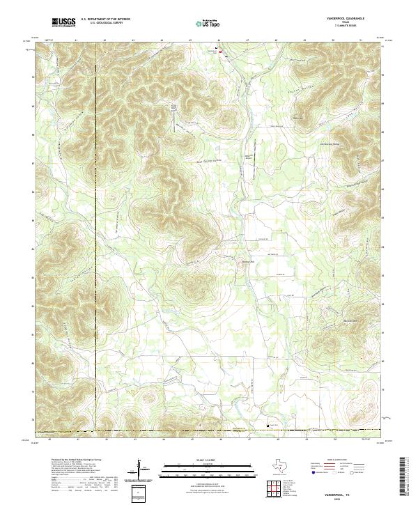 2022 Vanderpool2022 Print · USGSThe Bandera County highlands are documented here during a period of modern ranching and rural transit. Local history enthusiasts can trace family connections at the Vanderpool Cem, follow the Sabinal River, or locate the site of Mauldin.
 - 2022 Map of Lake Creek, 2022 Print
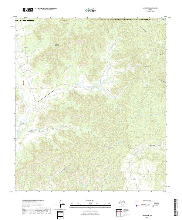 2022 Lake Creek2022 Print · USGSThe Texas Hill Country at the Real and Uvalde county line is a landscape of springs and winding canyons carved by the Nueces River. Researchers can trace old ranch roads and water sources from Rawhide Spring to Mule Mtn and the Fossil Creek Ranch Airport.
 - 2022 Map of Sand Mountain, 2022 Print
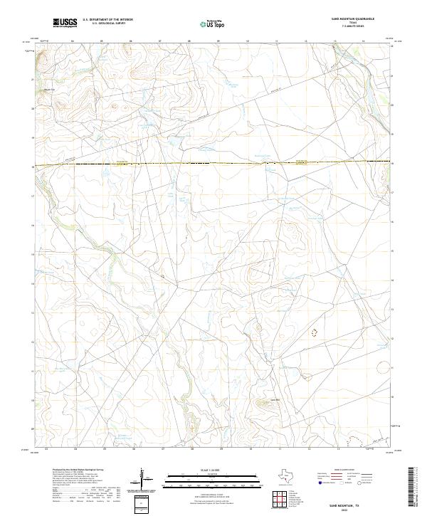 2022 Sand Mountain2022 Print · USGSZavala and Uvalde counties are mapped here in the early twenty-first century, showing a ranching landscape carved by seasonal waterways and high points. Researchers can trace land use through namesake features like Sand Mtn, Wagon Top, and the Nueces River.
 - 2022 Map of Gross Tank, 2022 Print
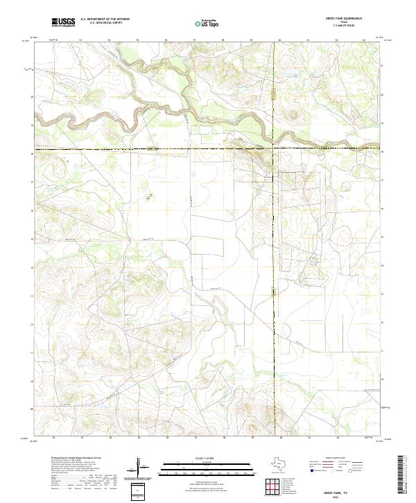 2022 Gross Tank2022 Print · USGSZavala County and its neighbors are mapped here in the early 2020s, showing the intersection of four Texas counties near the river forks. Trace the ranching landscape through landmarks like Gross Tank and the uniquely named Fight and Holler Cr.
 - 2022 Map of Reagan Wells, 2022 Print
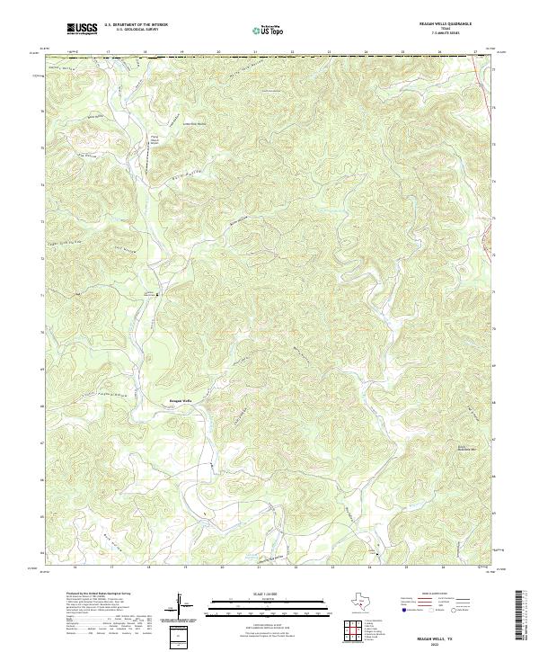 2022 Reagan Wells2022 Print · USGSThe area around the Dry Frio River in Uvalde County comes into focus in this recent survey. Local historians can trace family-named sites like Cummins - Heard Cem, Reagan Wells, and the terrain near Devils Backbone Mtn.
 - 2022 Map of Flatrock Crossing, 2022 Print
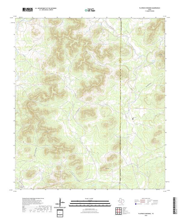 2022 Flatrock Crossing2022 Print · USGSThe Uvalde and Medina County borderlands are mapped here in the early twenty-first century, showing a landscape of high peaks and winding draws. Researchers can locate Miller Cem and trace the paths of Little Seco Cr past Flag Mtn.
 - 2022 Map of Pulliam Ranch, 2022 Print
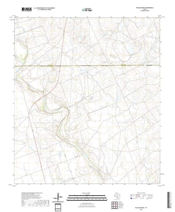 2022 Pulliam Ranch2022 Print · USGSThe Zavala County ranchlands are captured here in the early twenty-first century, showing the essential water and road networks of the South Texas brush country. Researchers can trace the meandering Nueces River and locate historic watering points like Horseshoe Tank and Ranger Tank.
 - 2022 Map of Sabinal, 2022 Print
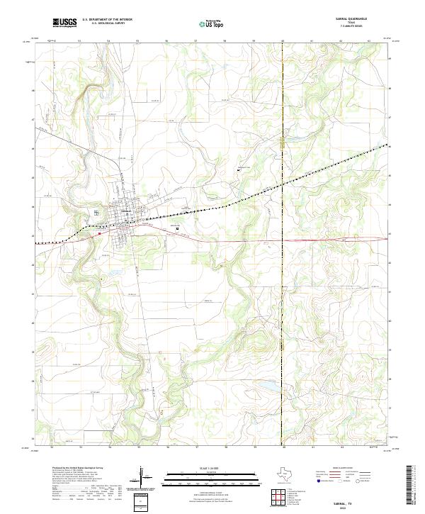 2022 Sabinal2022 Print · USGSThe town of Sabinal and the surrounding Uvalde County ranchlands are detailed here in the early twenty-first century. Researchers can trace local genealogy and land use through Saint Patrick Cem, Sabinal Cem, and the winding Sabinal River.
 - 2022 Map of Seco Pass, 2022 Print
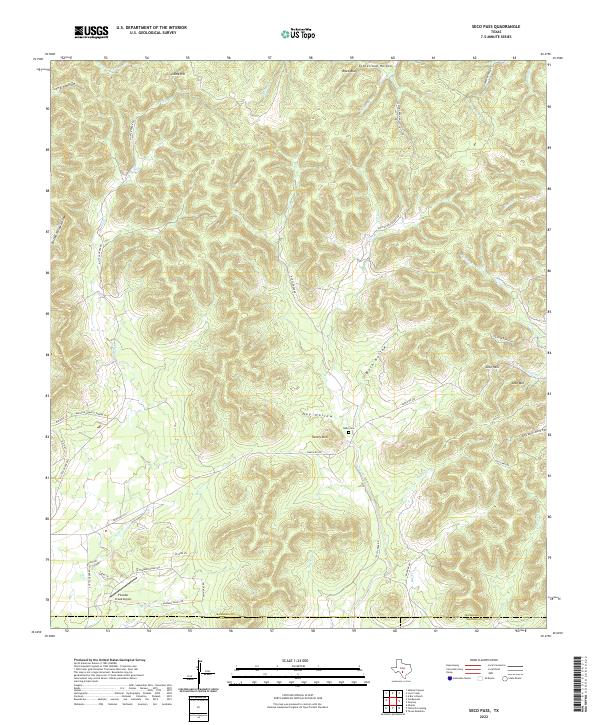 2022 Seco Pass2022 Print · USGSBandera County ranchlands and the high ridges of the Edwards Plateau are mapped here in the early twenty-first century. Researchers can trace remote family landmarks and watercourses such as Haby Cem, Thunder Creek Airport, and Seco Pass.
 - 2022 Map of Lone Tree Hill, 2022 Print
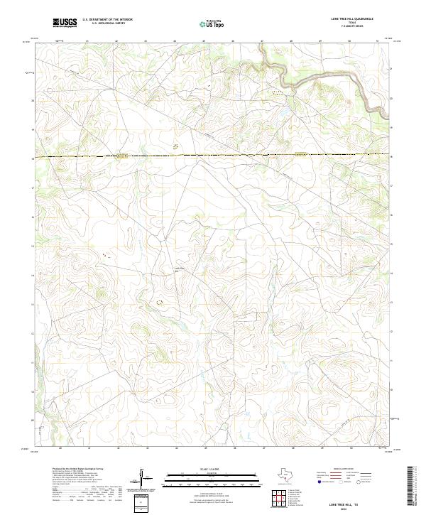 2022 Lone Tree Hill2022 Print · USGSSouth Texas ranch land along the Zavala and Uvalde county line is mapped in detail during the early 2020s. Researchers can trace rural routes like Pearsall Rd as they cross Liveoak Cr and Elm Cr near the landmark Lone Tree Hill.
 - 2022 Map of Knippa, 2022 Print
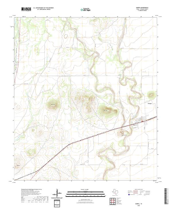 2022 Knippa2022 Print · USGSKnippa and the surrounding Texas brush country are shown here in the 2020s as the river systems of the Frio converge. Researchers can trace the local street grid, find the Knippa Cem, and locate landmarks like Blue Mtn and Traprock Hill.
 - 2022 Map of Uvalde, 2022 Print
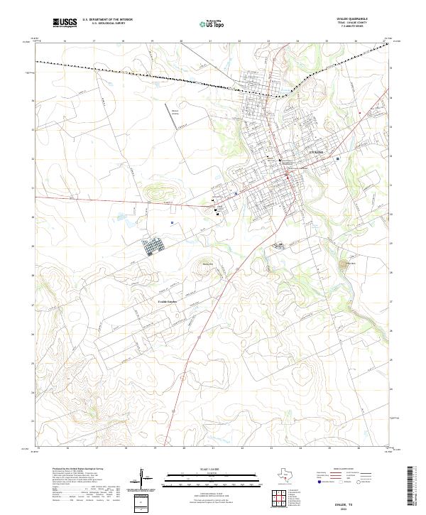 2022 Uvalde2022 Print · USGSThe Texas Brush Country city of Uvalde and the southern residential expansion of Uvalde Estates appear here in the early twenty-first century. Genealogists can trace family records at the Uvalde County Courthouse and several nearby burial grounds like Hillcrest Cem and Pioneer Park Cem.
 - 2022 Map of Comanche Waterhole, 2022 Print
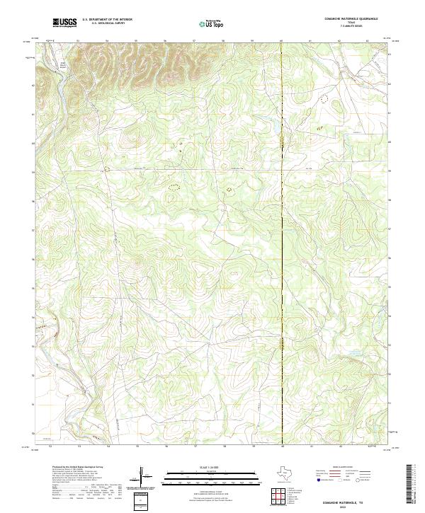 2022 Comanche Waterhole2022 Print · USGSThe ranchlands of Uvalde and Medina counties appear in modern detail on this 2022 survey. Researchers can trace the drainage patterns of the Sabinal River and locate specific landmarks like the Comanche Waterhole and the K Bar Ranch Airport.
 - 2022 Map of Hacienda, 2022 Print
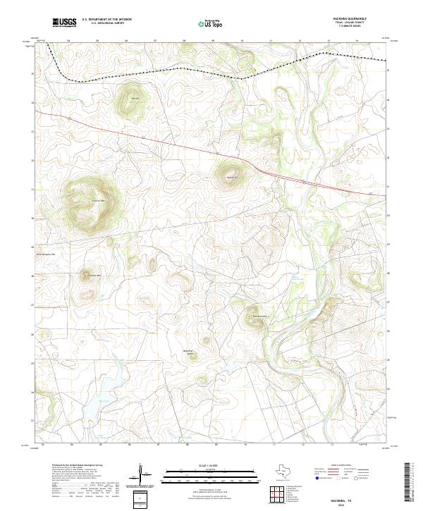 2022 Hacienda2022 Print · USGSThis South Texas landscape in the early 2020s shows a terrain shaped by the winding Nueces River and scattered ranching operations. Genealogists and historians can trace family-named landmarks like Obi Hill, Tom Nunn Hill, and the site of Soldiers Camp Springs.
 - 2022 Map of Trio, 2022 Print
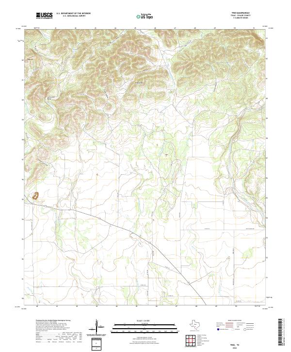 2022 Trio2022 Print · USGSThe Edwards Plateau meets the South Texas ranch lands in this contemporary study of northern Uvalde County. Genealogists and local historians can trace family landholdings and water rights along Blanco Cr, Folts Ranch Rd, and the Sabinal River.
 - 2022 Map of Chalk Bluff, 2022 Print
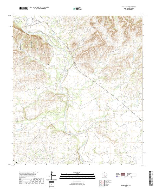 2022 Chalk Bluff2022 Print · USGSNorthern Uvalde County in the 2020s is defined by the winding Nueces River and a network of remote ranch roads. Genealogists and historians can trace land use through family-named landmarks like Perfecto Mata Draw and Canales Draw.
 - 2022 Map of Sevenmile Hill, 2022 Print
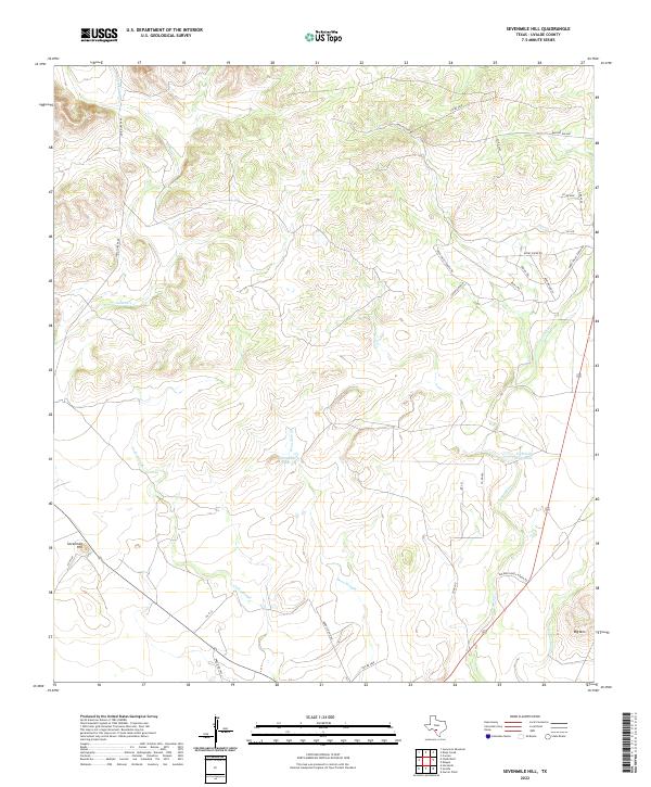 2022 Sevenmile Hill2022 Print · USGSThe ranch lands of Uvalde County are mapped here in the early twenty-first century, showcasing a landscape of intermittent sloughs and prominent uplands. Researchers can trace the drainage of the Leona River and locate landmarks like Sevenmile Hill and Willingham Lake.
 - 2022 Map of Utopia, 2022 Print
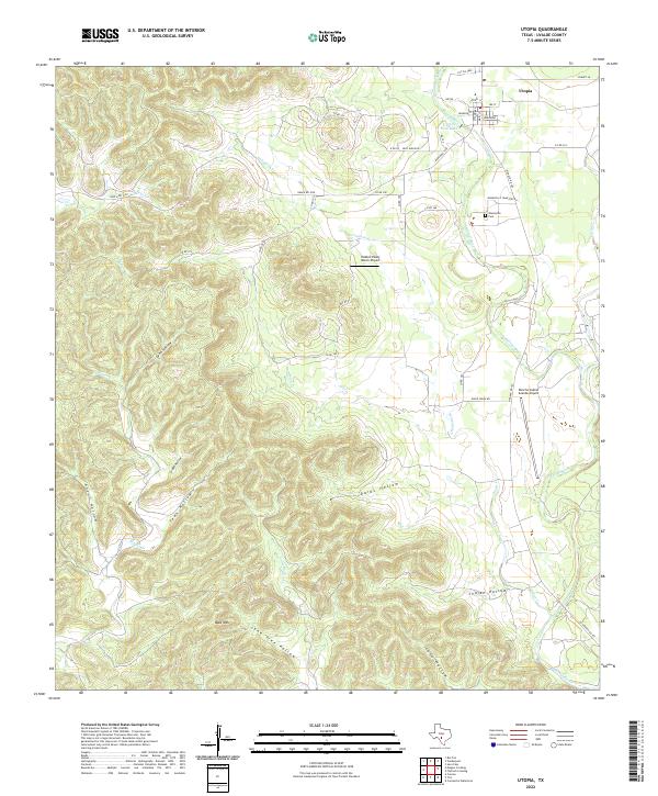 2022 Utopia2022 Print · USGSTexas Hill Country life centers on the Sabinal River and the quiet town of Utopia in this contemporary 2022 survey. Genealogists and historians can trace local landmarks like the Waresville Cem or the winding courses of Onion Cr and Blanco Cr.
 - 2022 Map of Rio Frio, 2022 Print
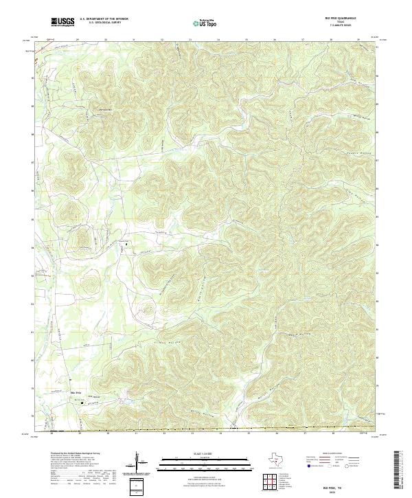 2022 Rio Frio2022 Print · USGSThe canyon-and-creek country of the Texas Hill Country is meticulously mapped here in the early twenty-first century. Genealogists can locate family burial sites at Rio Frio Cem and Chisum Cem or trace the winding course of the E Frio River.
 - 2022 Map of Magers Crossing, 2022 Print
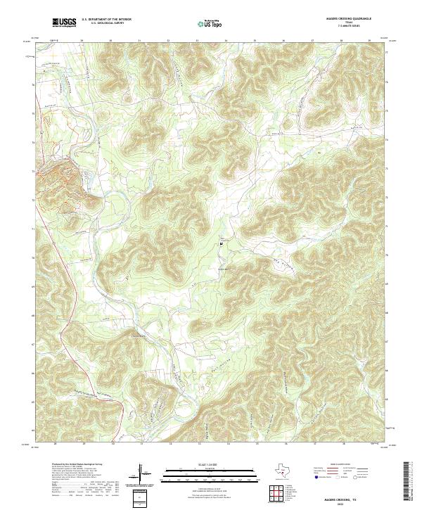 2022 Magers Crossing2022 Print · USGSUvalde County in the early 2020s remains a landscape defined by the deep canyons of the Frio River and the rural heritage of its springs. Researchers can trace historic access routes like Old Leakey Rd and locate local landmarks such as Bear Creek Cem and Coffin Mtn.
 - 2022 Map of Sycamore Mountain, 2022 Print
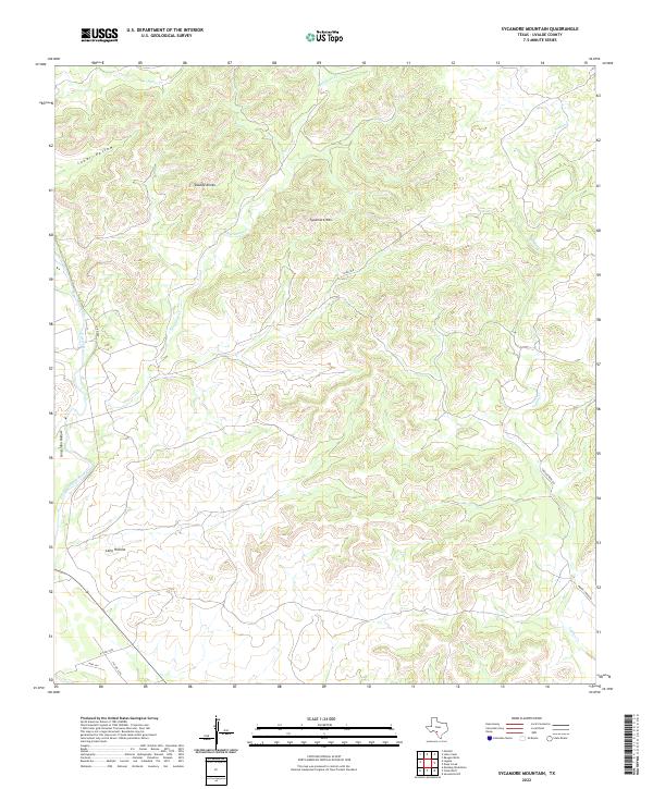 2022 Sycamore Mountain2022 Print · USGSUvalde County ranchlands and river valleys are captured here in the early twenty-first century. Researchers can trace the path of the Nueces River or locate water sources like Cave Spring and Sycamore Cr among the canyons.
 - 2022 Map of Garner Field NE, 2022 Print
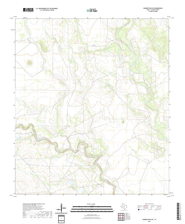 2022 Garner Field NE2022 Print · USGSUvalde County rangelands are documented in the early twenty-first century, centered on the winding course of the Frio River. Local historians and researchers can trace drainage patterns and rural access roads like CO RD 307 and the shoreline of Corder Lake.
 - 2022 Map of Batesville Hill, 2022 Print
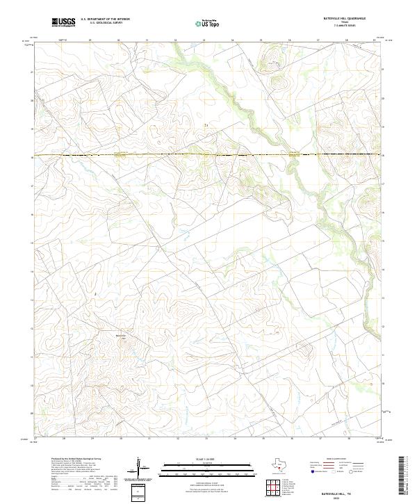 2022 Batesville Hill2022 Print · USGSThe borderlands of Uvalde and Zavala counties are mapped here in the early twenty-first century, showing a landscape of South Texas ranching and seasonal waterways. Researchers can trace the winding Leona River and locate landmarks like Batesville Hill, Leona Springs, and Childers Slough.
 - 2022 Map of Blanco Lake, 2022 Print
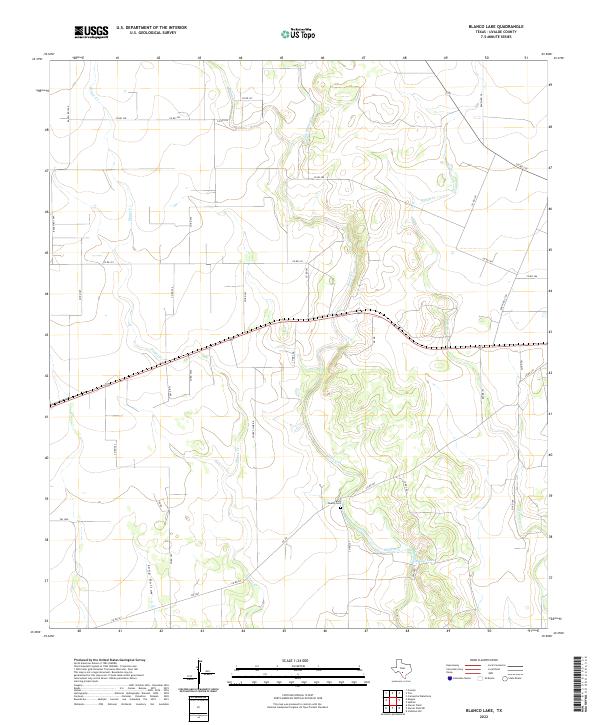 2022 Blanco Lake2022 Print · USGSUvalde County ranchlands are documented in the mid-2010s, showing a landscape shaped by winding waterways and rural homesteads. Genealogists and local historians can locate the Wish Family Cemetery and trace the paths of Blanco Creek and Dinner Creek.
 - 2022 Map of Deep Creek, 2022 Print
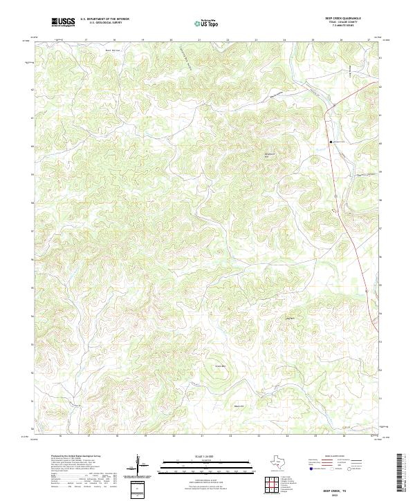 2022 Deep Creek2022 Print · USGSThe rural terrain of Uvalde County comes alive in this contemporary survey, showing the drainage basins between the Dry Frio River and Leona River. Genealogists and historians can trace the Davenport Cem or locate landmarks like Sawmill Canyon and Davenport Hill.
Showing maps 1-25 of 34
Top cities of Uvalde County
- Uvalde historical maps
- Uvalde Estates historical maps
- Sabinal historical maps
- Knippa historical maps
- Utopia historical maps
Frequently asked questions
- What are the different types of historical maps available for Uvalde County?
- What is the oldest map of Uvalde County?
- Where can I purchase historical maps of Uvalde County for my home or office?
- Where can I download high-res historical maps of Uvalde County?
- Are there historical topographic maps available for Uvalde County?
- Is there historical aerial imagery available for Uvalde County?
- Where are historical maps of Uvalde County sourced from?