2000s (21st Century) Maps of Uvalde County, Texas
Explore 170 historic maps of Uvalde County from the 2000s (21st Century). These maps offer a rare glimpse into what life looked like during the 2000s — showing old roads, neighborhoods, homes, and landmarks that have changed or disappeared over time.
Whether you're researching your family's past, planning a metal detecting trip, or studying how Uvalde County's landscape evolved across the 2000s, these high-resolution maps are a powerful tool for exploring the history of this region.
- Focus on a specific era: All maps on this page are from the 2000s, giving you a focused view of this time period.
- See what’s changed: Compare century-old streets, trails, and buildings to today's modern landscape using overlays and satellite layers.
- Research with precision: Use these maps for genealogy, historical research, land use analysis, or educational projects.
- View, download, or print: Maps are fully viewable online in high resolution, and can be downloaded or printed for your own records.
Start exploring Uvalde County's history through authentic maps from the 2000s. This is your window into the past.
Uvalde County, TX maps
(170)- 2010 Map of Batesville Hill, 2010 Print
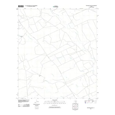 2010 Batesville Hill2010 Print · USGSZavala County ranch lands are mapped here in the early twenty-first century, showing a terrain defined by complex water systems. Local historians can trace the paths of Leona River and Childers Slough past landmarks like Batesville Hill.
 - 2010 Map of Deep Creek, 2010 Print
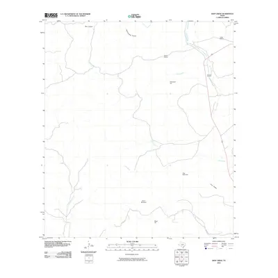 2010 Deep Creek2010 Print · USGSUvalde County at the dawn of the 2010s reveals a ranching landscape carved by the Leona River and Dry Frio River. Researchers can locate the Davenport Cemetery and trace the paths of Little Indian Creek and Lightning Bug Hollow through the brush country.
 - 2010 Map of Concan, 2010 Print
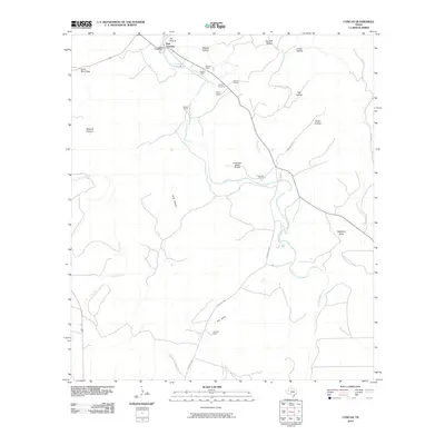 2010 Concan2010 Print · USGSUvalde County ranchlands and the winding river corridor are documented here in the early twenty-first century. Researchers can locate family landmarks like the Concan Cemetery, the historic The Big Tree, and local holdings such as Stoner Ranch.
 - 2010 Map of Comanche Waterhole, 2010 Print
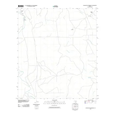 2010 Comanche Waterhole2010 Print · USGSMedina County ranch lands are documented here in the early twenty-first century, showing the transition between Hill Country plateaus and the brushy plains. Trace local land use and hydrology through sites like Comanche Waterhole, the Valdina Farms ranch complex, and the Sabinal River.
 - 2010 Map of Magers Crossing, 2010 Print
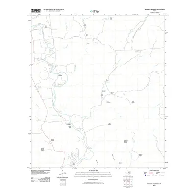 2010 Magers Crossing2010 Print · USGSThe Texas Hill Country and the Frio River are captured here in the early twenty-first century, featuring a landscape of family ranches and riverfront camps. Trace local genealogy at the Bear Creek Cemetery or locate landmarks like Seven Bluff and Magers Crossing.
 - 2010 Map of Vanderpool, 2010 Print
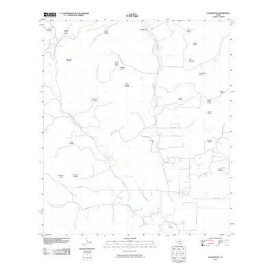 2010 Vanderpool2010 Print · USGSThe ranching country of the Sabinal Canyon comes into focus during the early twenty-first century. Genealogists and researchers can locate the Jones Cemetery or trace family landmarks across Taylor Mountain and along the banks of the West Sabinal River.
 - 2010 Map of Lake Creek, 2010 Print
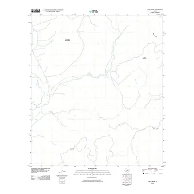 2010 Lake Creek2010 Print · USGSTexas ranching country in the early twenty-first century is defined here by its isolated springs and rugged limestone topography. Genealogists and historians can trace the remote canyons and landmarks of Real County, from Dugwell Canyon and Rawhide Spring to Mule Mountain.
 - 2010 Map of Rio Frio, 2010 Print
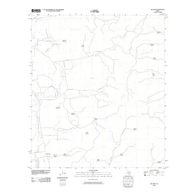 2010 Rio Frio2010 Print · USGSThe Texas Hill Country landscape near Rio Frio is mapped here during the early twenty-first century, showing a region defined by ranching and river valleys. Researchers can trace land features like Saddle Mountain, find the Casey Three Ranch Airport, and explore named hollows such as Friday Hollow and Ash Hollow.
 - 2010 Map of Chalk Bluff, 2010 Print
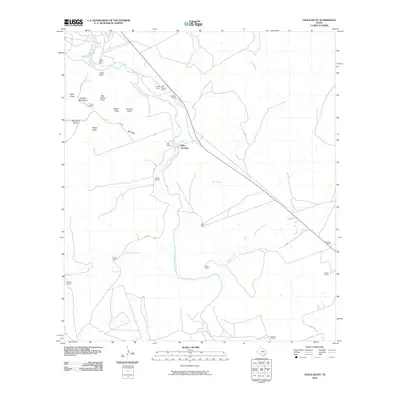 2010 Chalk Bluff2010 Print · USGSUvalde County ranchlands are captured here in the early twenty-first century, showcasing the persistent legacy of South Texas cattle culture. Researchers can locate specific family holdings such as the Haby Ranch and trace river crossings like Haby Crossing and Camp Chalk Bluff.
 - 2010 Map of Flatrock Crossing, 2010 Print
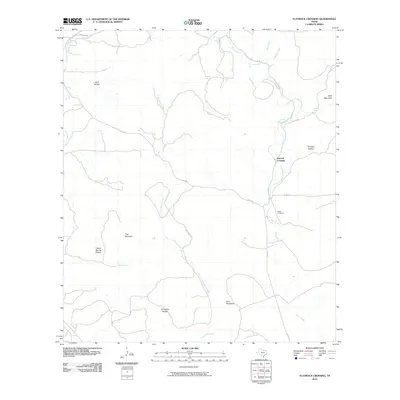 2010 Flatrock Crossing2010 Print · USGSMedina County ranch lands and limestone ridges are captured here in the early twenty-first century. Genealogists and researchers can pinpoint Miller Cemetery, the settlement of Flatrock Crossing, and landmarks like Holy Mountain.
 - 2010 Map of Knippa, 2010 Print
 2010 Knippa2010 Print · USGSThe town of Knippa and its surrounding ranch lands appear at the start of the 21st century, framed by distinctive volcanic peaks and seasonal rivers. Researchers can trace land use patterns near Black Mountain or locate family properties along the Dry Frio River and Taylor Slough.
 - 2010 Map of Utopia, 2010 Print
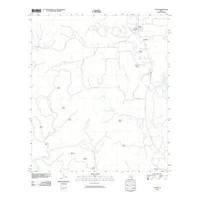 2010 Utopia2010 Print · USGSThe Sabinal River valley in the early twenty-first century reveals a landscape defined by ranching heritage and rural aviation. Researchers can trace family roots at Waresville Cemetery or locate landmarks like the Utopia on the River Airport and Blanco Ranch.
 - 2010 Map of Seco Pass, 2010 Print
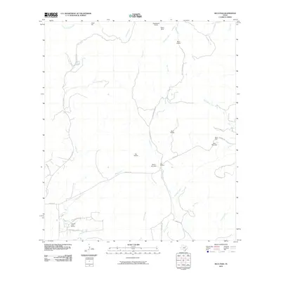 2010 Seco Pass2010 Print · USGSMedina County at the start of the 2010s reveals a quiet landscape of ranch roads and limestone hills. Genealogists and local historians can trace family land near Haby Cemetery or explore the drainage basins of Seco Creek and Pigeon Roost Creek.
 - 2010 Map of Sevenmile Hill, 2010 Print
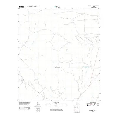 2010 Sevenmile Hill2010 Print · USGSThe rural expanses of Uvalde County are mapped here in the early twenty-first century, showing a landscape shaped by ranching and vital water sources. Researchers can trace land divisions like Rancho Encino and local landmarks such as Sevenmile Hill and the Willingham Lake Dam.
 - 2010 Map of Hacienda, 2010 Print
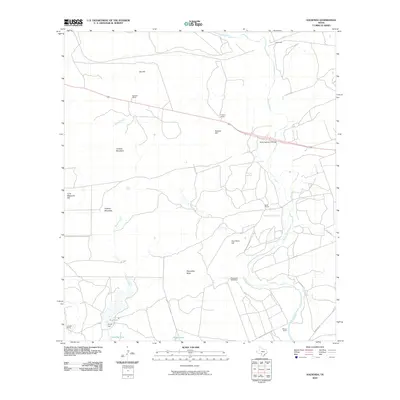 2010 Hacienda2010 Print · USGSUvalde County ranching and river country are meticulously detailed in this early 21st-century record. Genealogists and local historians can trace family landholdings like Rosenow Ranch or Allen Ranch and locate landmarks such as Soldiers Camp Springs.
 - 2010 Map of Blanco Lake, 2010 Print
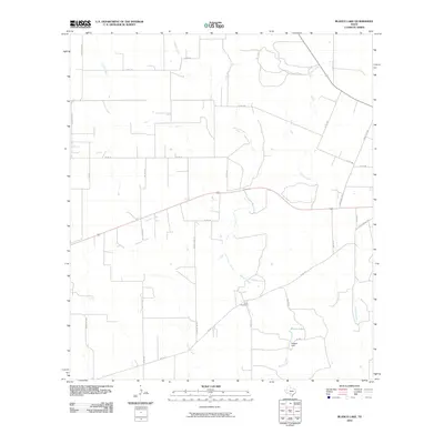 2010 Blanco Lake2010 Print · USGSIn the brush country of Uvalde County during the early 21st century, this area shows a landscape shaped by creek drainages and ranching. Researchers can locate the Wish Cemetery and trace the shoreline of Blanco Lake near Reagan Dam.
 - 2010 Map of Uvalde, 2010 Print
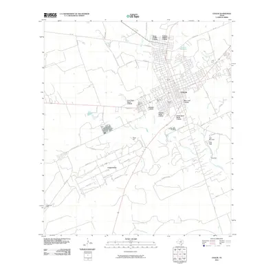 2010 Uvalde2010 Print · USGSUvalde and the surrounding brush country are captured here at a time of notable residential growth and historical preservation. Genealogists and historians can trace the foundations of Fort Inge near Inge Mountain or locate family sites within Uvalde Estates and Brice Lane Colonia.
 - 2010 Map of Sabinal, 2010 Print
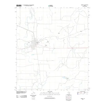 2010 Sabinal2010 Print · USGSSabinal sits at a crossroads of rail and road in South Texas, surrounded by the winding courses of the Sabinal River and Elm Creek. Researchers can locate several historic burial grounds like Saint Patrick Cemetery and trace the paths of OLD HWY 90.
 - 2010 Map of Garner Field, 2010 Print
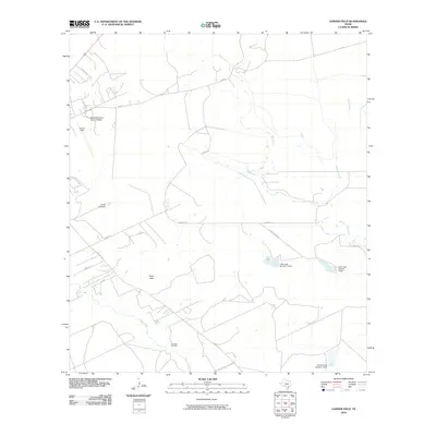 2010 Garner Field2010 Print · USGSUvalde and its southeastern outskirts are captured here during a period of modern growth and continued ranching legacy. Researchers can find family landmarks and local institutions, from The Ditch Cemetery and Taylor Hills to the campus of Southwest Texas Junior College.
 - 2010 Map of Leakey, 2010 Print
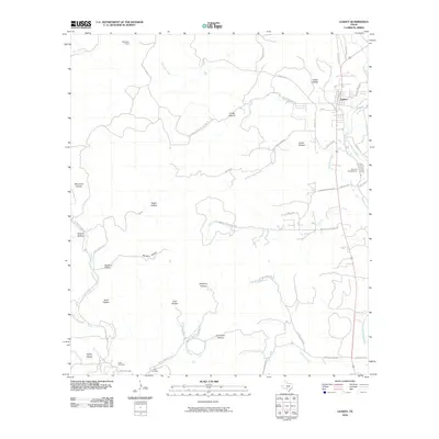 2010 Leakey2010 Print · USGSLeakey and the upper Frio River country are mapped here during the early twenty-first century, showing the intersection of ranching life and rugged terrain. Local historians can locate the Exile Cemetery, trace the course of Patterson Creek, and find the Alto Frio Encampment.
 - 2010 Map of Irishman Hill, 2010 Print
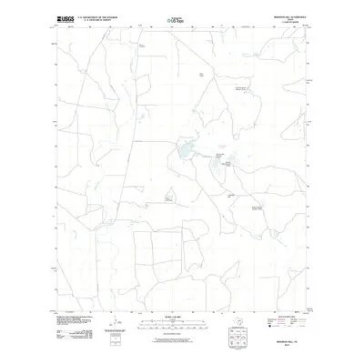 2010 Irishman Hill2010 Print · USGSMedina County is captured in the early 2000s, showcasing a landscape of sprawling ranch lands and essential water management. Genealogists and historians can locate the Brown Cemetery and trace the paths of the Sabinal River and Irishman Hill.
 - 2010 Map of Garner Field NE, 2010 Print
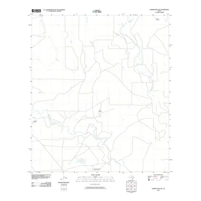 2010 Garner Field NE2010 Print · USGSUvalde County at the start of the 2010s shows a landscape shaped by rural water management and shifting creek beds. Genealogists and local historians can trace family land markers like Frank Kincaid Lake Number 1 Dam and the course of the Frio River.
 - 2010 Map of Sycamore Mountain, 2010 Print
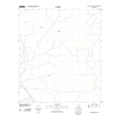 2010 Sycamore Mountain2010 Print · USGSTexas ranching and hill country is documented here in the early twenty-first century, showing a landscape shaped by the Nueces River. Researchers can trace the elevation changes from Sycamore Mountain to the depths of Junior Hollow.
 - 2010 Map of Trio, 2010 Print
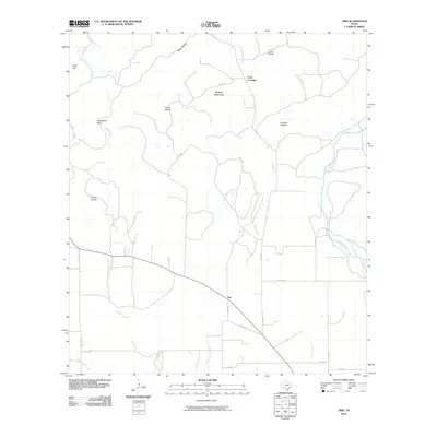 2010 Trio2010 Print · USGSThe ranchlands of Uvalde County come into focus during the early twenty-first century as rural networks surround the settlement of Trio. Researchers can trace the path of the Sabinal River and locate local landmarks like Long Crossing and Ringtail Mountain.
 - 2010 Map of Reagan Wells, 2010 Print
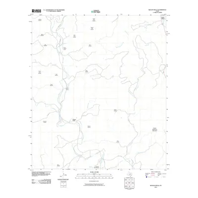 2010 Reagan Wells2010 Print · USGSReagan Wells and the winding canyons of Uvalde County are captured here during the first decade of the millennium. Researchers can locate family landmarks like the Cummins-Heard Cemetery and trace the many drainages like Lightning Bug Spring or Mace Creek.
Showing maps 1-25 of 170
Top cities of Uvalde County
- Uvalde historical maps
- Uvalde Estates historical maps
- Sabinal historical maps
- Knippa historical maps
- Utopia historical maps
Frequently asked questions
- What are the different types of historical maps available for Uvalde County?
- What is the oldest map of Uvalde County?
- Where can I purchase historical maps of Uvalde County for my home or office?
- Where can I download high-res historical maps of Uvalde County?
- Are there historical topographic maps available for Uvalde County?
- Is there historical aerial imagery available for Uvalde County?
- Where are historical maps of Uvalde County sourced from?