2020s Maps of Utah
Explore 3,027 historic maps of Utah from the 2020s. These maps offer a rare glimpse into what life looked like during the 2020s — showing old roads, neighborhoods, homes, and landmarks that have changed or disappeared over time.
Whether you're researching your family's past, planning a metal detecting trip, or studying how Utah's landscape evolved across the 2020s, these high-resolution maps are a powerful tool for exploring the history of this region.
- Focus on a specific era: All maps on this page are from the 2020s, giving you a focused view of this time period.
- See what’s changed: Compare century-old streets, trails, and buildings to today's modern landscape using overlays and satellite layers.
- Research with precision: Use these maps for genealogy, historical research, land use analysis, or educational projects.
- View, download, or print: Maps are fully viewable online in high resolution, and can be downloaded or printed for your own records.
Start exploring Utah's history through authentic maps from the 2020s. This is your window into the past.
Utah maps
(3,027)- 2020 Map of McCracken Spring, 2020 Print
 2020 McCracken Spring2020 Print · USGSSan Juan County’s high desert landscape appears in great detail here at the start of the 2020s. Local history researchers can trace desert water sources like McCracken Spring and Alkali Seep or follow remote routes like Around The World Rd.
 - 2020 Map of Gray Spot Rock, 2020 Print
 2020 Gray Spot Rock2020 Print · USGSSan Juan County in the early twenty-first century reveals a landscape of high mesas and arid washes. Researchers can trace remote routes like Indian Rte 5062 and locate local landmarks such as Slick Horn and Boundary Butte Mesa.
 - 2020 Map of Goulding NE, 2020 Print
 2020 Goulding NE2020 Print · USGSSan Juan County at the turn of the decade reveals a landscape dominated by the winding San Juan River. Researchers can trace the intersections of remote routes like Douglas Mesa Rd and explore the rugged canyonlands near Ross Rapids and Johns Canyon.
 - 2020 Map of Bug Canyon, 2020 Print
 2020 Bug Canyon2020 Print · USGSSan Juan County’s high desert plateaus and deep gorges are captured here in the contemporary era. Researchers can trace the rugged network of named drainages like Pickett Corral Canyon and find isolated water sources such as Soda Spring.
 - 2020 Map of Ophir, 2020 Print
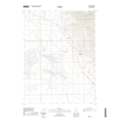 2020 Ophir2020 Print · USGSThe Oquirrh Mountains' historic mining landscapes are preserved in this recent survey of Tooele County. Local historians can trace cemetery locations like Ophir Old Cem and old routes such as Dry Canyon Mining Rd near the Town of Ophir.
 - 2020 Map of Rainbow Bridge, 2020 Print
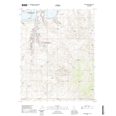 2020 Rainbow Bridge2020 Print · USGSThe Arizona-Utah borderlands are shown here in 2020, centered on the sandstone architecture of Rainbow Bridge National Monument. Modern researchers can trace the drainages from Navajo Mountain past Rainbow Lodge Spring and through Redbud Pass.
 - 2020 Map of Bowdie Canyon West, 2020 Print
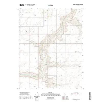 2020 Bowdie Canyon West2020 Print · USGSThe Colorado River corridor near the Garfield and San Juan county line is captured here in the modern era. Trace the intersection of high-desert plateaus and deep water at Lake Powell, Dark Canyon, and the remote Freddies Cistern.
 - 2020 Map of White Rock Point, 2020 Print
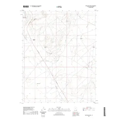 2020 White Rock Point2020 Print · USGSThe high plateau of San Juan County is documented here in the early twenty-first century as it appeared during a 2016 imagery survey. Researchers can trace the desert road network including Mexican Water Rd and locate remote springs such as Window Rock Spring and Ute Spring.
 - 2020 Map of Warren Canyon, 2020 Print
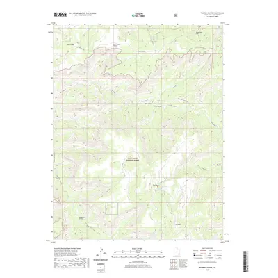 2020 Warren Canyon2020 Print · USGSSan Juan County’s canyon country is documented here in the early twenty-first century, showing the remote interfaces of high mesas and deep drainages. Outdoor historians and researchers can trace the Woodenshoe Trail (165) or locate critical water sources like Sweet Alice Spring and Cooper Spring.
 - 2020 Map of Knowles Canyon, 2020 Print
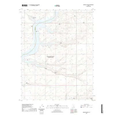 2020 Knowles Canyon2020 Print · USGSSan Juan County’s canyon country is documented here in the early twenty-first century, centered on the Colorado River corridor. Researchers can trace historic river sites like Olympia Bar and significant geological features such as the Tapestry Wall and Moki Stairs.
 - 2020 Map of Chippean Rocks, 2020 Print
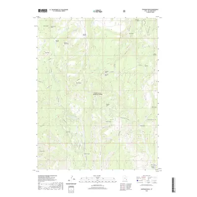 2020 Chippean Rocks2020 Print · USGSSan Juan County’s high plateaus and deep canyons are preserved here during the modern era of the national forest system. Genealogists and historians can trace the paths of the Posey Trail and Gooseberry Trail past landmarks like Mormon Pasture and Chippean Rocks.
 - 2020 Map of Saint John, 2020 Print
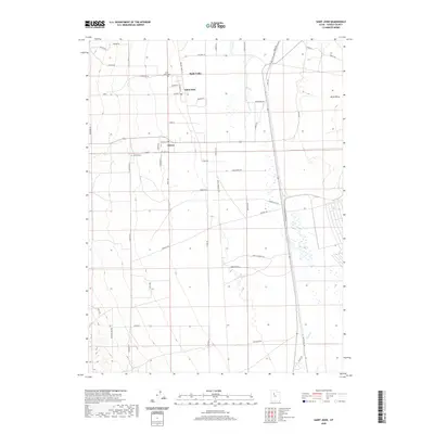 2020 Saint John2020 Print · USGSRush Valley is shown here in the contemporary era, centered on the historic rural settlements of Saint John and Clover. Genealogists and historians can trace local family lineages through the Saint John Cem or follow the path of the Mormon Trail Rd.
 - 2020 Map of Cave Flat, 2020 Print
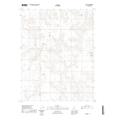 2020 Cave Flat2020 Print · USGSGarfield County in the early twenty-first century remains a wilderness of mesas and deep canyons. Researchers can trace the rugged drainage of Muley Cr and locate high-elevation landmarks like Tarantula Mesa and Cave Flat.
 - 2020 Map of Eastland NW, 2020 Print
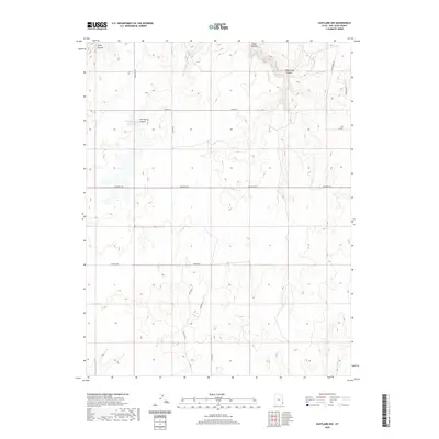 2020 Eastland NW2020 Print · USGSSan Juan County at the start of the 2020s shows a high-plateau landscape defined by rural ranching roads and water management. Researchers can trace the drainage of Boulder Cr and locate specific landmarks such as Iron Springs Reservoir and Sitton Well.
 - 2020 Map of Wilson Creek, 2020 Print
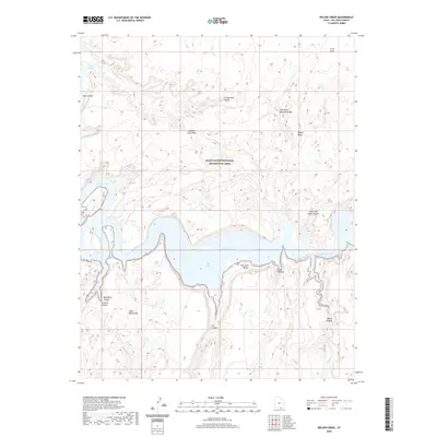 2020 Wilson Creek2020 Print · USGSSan Juan County at the start of the 2020s reveals a wilderness landscape shaped by the waters of the San Juan River. Researchers and outdoor enthusiasts can trace prominent geological features like Old Settler Natural Bridge, Grey Mesa, and the Glass Mountains.
 - 2020 Map of Stevens Canyon North, 2020 Print
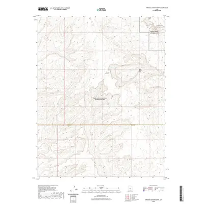 2020 Stevens Canyon North2020 Print · USGSThe high desert of southern Utah comes into focus in this 2020 study of the geological transition between two major federal preserves. Researchers can trace the complex drainage through Stevens Canyon and the notable Halls Creek and Narrows along the Water Pocket Fold.
 - 2020 Map of Mount Pennell, 2020 Print
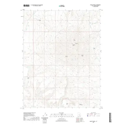 2020 Mount Pennell2020 Print · USGSThe Garfield County high country is documented here in the early twenty-first century. Geographic researchers can trace the intricate drainages of Bullfrog Cr and identify landmarks like Mt Pennell, No Man Mesa, and The Horn.
 - 2020 Map of The Cheesebox, 2020 Print
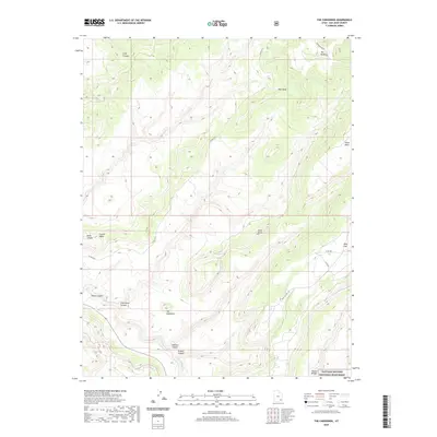 2020 The Cheesebox2020 Print · USGSSan Juan County’s high plateau country is captured here in the modern era, showing the intersection of deep canyon systems and isolated mesas. Researchers can trace the rugged tracks of Woodenshoe Rd and Deer Flat Rd to landmarks like The Cheesebox and the remarkable Sipapu Bridge.
 - 2020 Map of Oljato NE, 2020 Print
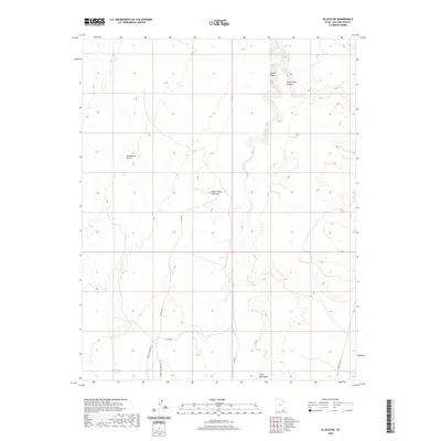 2020 Oljato NE2020 Print · USGSSan Juan County’s high desert landscape is shown in detail during the late twenty-teens, dominated by complex geological formations. Researchers can trace the path of Oljato Wash and identify remote landmarks like Rockhouse Gulch and the Cedar Mesa Anticline.
 - 2020 Map of Goulding NW, 2020 Print
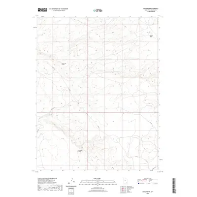 2020 Goulding NW2020 Print · USGSSan Juan County at the start of the 2020s shows a landscape where modern roads traverse ancient geological formations. Researchers can trace rural access routes like Begay Rd and Rocks Rd as they wind past Monument Valley and Douglas Mesa.
 - 2020 Map of San Juan Hill, 2020 Print
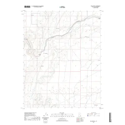 2020 San Juan Hill2020 Print · USGSIn the Shiprock Agency region during the early twenty-first century, the winding San Juan River defines a landscape of dramatic geological uplifts. Trace the paths of Chinle Creek and Comb Wash as they navigate the massive formations of Comb Ridge and San Juan Hill.
 - 2020 Map of Jacobs Monument, 2020 Print
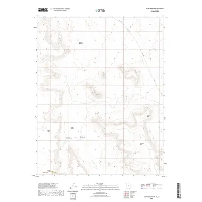 2020 Jacobs Monument2020 Print · USGSThe high plateaus and deep drainages of the Arizona-Utah border are captured here in the contemporary era. Geographic researchers can trace the intricate pathways of Copper Canyon and identify remote landmarks like Jacobs Monument and Hoskinnini Mesa.
 - 2020 Map of Bullfrog, 2020 Print
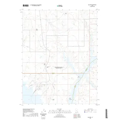 2020 Bullfrog2020 Print · USGSThe recreation and desert landscapes of Kane County are documented in the modern era as the waters of Lake Powell meet the high mesas. Trace the roads and water access at Bullfrog, the Bullfrog Marina, and remote landmarks like Hoskinnini Mesa.
 - 2020 Map of Alcove Canyon, 2020 Print
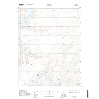 2020 Alcove Canyon2020 Print · USGSSan Juan County, Utah, is shown in the early twenty-first century as a landscape of deep canyons and high mesas within the Glen Canyon National Recreation Area. Trace the winding San Juan River to the Great Bend of the San Juan River or explore the heights of Wilson Mesa.
 - 2020 Map of White Mesa Village SE, 2020 Print
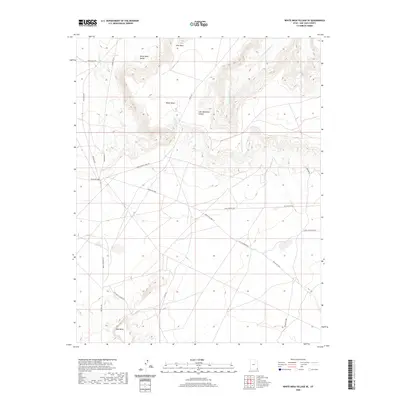 2020 White Mesa Village SE2020 Print · USGSSan Juan County comes alive in this 2020 record of the high desert mesas and tribal road networks. Researchers can trace the complex geography of White Mesa and Red Mesa, following historic routes like Teec Nos Pos Rd and Salt Water Cr.
Showing maps 1-25 of 3,027
Top cities of Utah
- Salt Lake City historical maps
- West Valley City historical maps
- West Jordan historical maps
- Provo historical maps
- Orem historical maps
- Sandy historical maps
See more
Top counties of Utah
- Salt Lake County historical maps
- Utah County historical maps
- Davis County historical maps
- Weber County historical maps
- Washington County historical maps
- Cache County historical maps
See more
Frequently asked questions
- What are the different types of historical maps available for Utah?
- What is the oldest map of Utah?
- Where can I purchase historical maps of Utah for my home or office?
- Where can I download high-res historical maps of Utah?
- Are there historical topographic maps available for Utah?
- Is there historical aerial imagery available for Utah?
- Where are historical maps of Utah sourced from?