2000s (21st Century) Maps of Tooele County, Utah
Explore 766 historic maps of Tooele County from the 2000s (21st Century). These maps offer a rare glimpse into what life looked like during the 2000s — showing old roads, neighborhoods, homes, and landmarks that have changed or disappeared over time.
Whether you're researching your family's past, planning a metal detecting trip, or studying how Tooele County's landscape evolved across the 2000s, these high-resolution maps are a powerful tool for exploring the history of this region.
- Focus on a specific era: All maps on this page are from the 2000s, giving you a focused view of this time period.
- See what’s changed: Compare century-old streets, trails, and buildings to today's modern landscape using overlays and satellite layers.
- Research with precision: Use these maps for genealogy, historical research, land use analysis, or educational projects.
- View, download, or print: Maps are fully viewable online in high resolution, and can be downloaded or printed for your own records.
Start exploring Tooele County's history through authentic maps from the 2000s. This is your window into the past.
Tooele County, UT maps
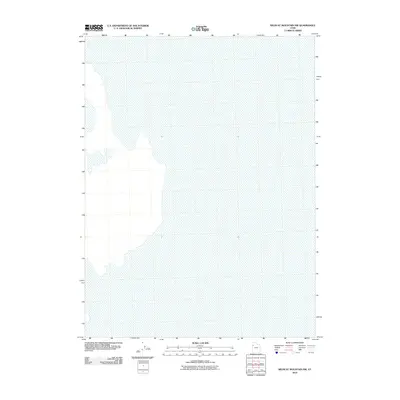
(766)- 2010 Map of Graham Peak, 2010 Print
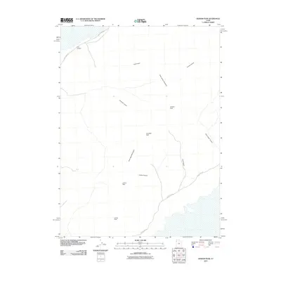 2010 Graham Peak2010 Print · USGSCovers Tooele County, including United States, Utah, and other nearby areas
 - 2010 Map of Arinosa SE, 2010 Print
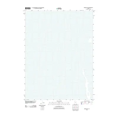 2010 Arinosa SE2010 Print · USGSCovers Tooele County, including United States, Utah, and other nearby areas
 - 2010 Map of Wig Mountain NE, 2010 Print
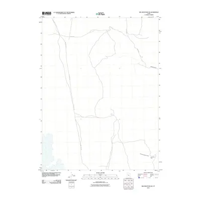 2010 Wig Mountain NE2010 Print · USGSCovers Tooele County, including United States, Utah, and other nearby areas
 - 2010 Map of South of Arinosa SE, 2010 Print
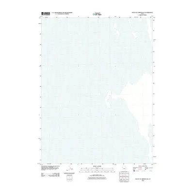 2010 South of Arinosa SE2010 Print · USGSCovers Tooele County, including United States, Utah, and other nearby areas
 - 2010 Map of Gold Hill Wash, 2010 Print
 2010 Gold Hill Wash2010 Print · USGSCovers Tooele County, including United States, Utah, and other nearby areas
 - 2010 Map of Dugway Proving Ground NE, 2010 Print
 2010 Dugway Proving Ground NE2010 Print · USGSCovers Tooele County, including United States, Utah, and other nearby areas
 - 2010 Map of Ibapah, 2010 Print
 2010 Ibapah2010 Print · USGSCovers Tooele County, including Ibapah, United States, and other nearby areas
 - 2010 Map of Goshute Wash, 2010 Print
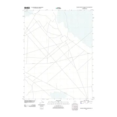
 2010 Goshute Wash2010 Print · USGSCovers Tooele County, including United States, Utah, and other nearby areas
 - 2010 Map of Barro, 2010 Print
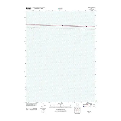 2010 Barro2010 Print · USGSCovers Tooele County, including United States, Utah, and other nearby areas
 - 2010 Map of Dugway Proving Ground NW, 2010 Print
 2010 Dugway Proving Ground NW2010 Print · USGSCovers Tooele County, including United States, Utah, and other nearby areas
 - 2010 Map of Aragonite, 2010 Print
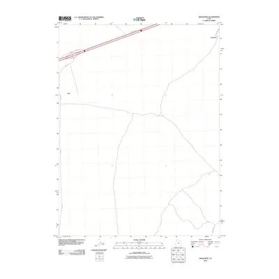 2010 Aragonite2010 Print · USGSCovers Tooele County, including United States, Utah, and other nearby areas
 - 2010 Map of Aragonite SW, 2010 Print
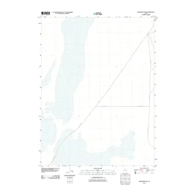 2010 Aragonite SW2010 Print · USGSCovers Tooele County, including United States, Utah, and other nearby areas
 - 2010 Map of Wildcat Mountain NW, 2010 Print
 2010 Wildcat Mountain NW2010 Print · USGSCovers Tooele County, including United States, Utah, and other nearby areas
 - 2010 Map of Ripple Valley, 2010 Print
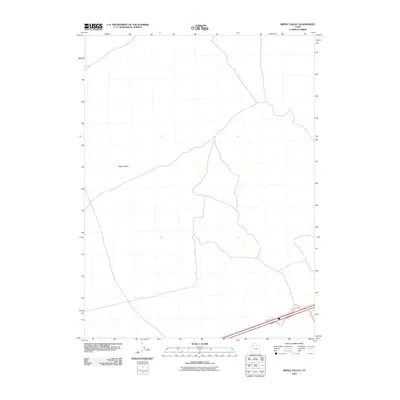 2010 Ripple Valley2010 Print · USGSCovers Tooele County, including United States, Utah, and other nearby areas
 - 2010 Map of Grassy Mountains, 2010 Print
 2010 Grassy Mountains2010 Print · USGSCovers Tooele County, including Box Elder County, United States, and other nearby areas
 - 2010 Map of Dugway Proving Ground SW, 2010 Print
 2010 Dugway Proving Ground SW2010 Print · USGSCovers Tooele County, including United States, Utah, and other nearby areas
 - 2010 Map of Dugway Proving Ground SE, 2010 Print
 2010 Dugway Proving Ground SE2010 Print · USGSCovers Tooele County, including United States, Utah, and other nearby areas
 - 2010 Map of Knolls, 2010 Print
 2010 Knolls2010 Print · USGSCovers Tooele County, including United States, Utah, and other nearby areas
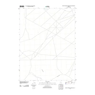
 - 2010 Map of Tetzlaff Peak, 2010 Print
 2010 Tetzlaff Peak2010 Print · USGSCovers Tooele County, including United States, Utah, and other nearby areas
 - 2010 Map of Wig Mountain SW, 2010 Print
 2010 Wig Mountain SW2010 Print · USGSCovers Tooele County, including United States, Utah, and other nearby areas
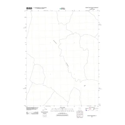
 - 2010 Map of Ochre Mountain, 2010 Print
 2010 Ochre Mountain2010 Print · USGSCovers Tooele County, including United States, Utah, and other nearby areas
 - 2010 Map of Finger Ridge, 2010 Print
 2010 Finger Ridge2010 Print · USGSCovers Tooele County, including Box Elder County, United States, and other nearby areas
 - 2010 Map of Silver Island Pass, 2010 Print
 2010 Silver Island Pass2010 Print · USGSCovers Tooele County, including United States, Utah, and other nearby areas
 - 2010 Map of Granite Peak NW, 2010 Print
 2010 Granite Peak NW2010 Print · USGSCovers Tooele County, including United States, Utah, and other nearby areas
 - 2010 Map of Grayback Hills, 2010 Print
 2010 Grayback Hills2010 Print · USGSCovers Tooele County, including United States, Utah, and other nearby areas
Showing maps 1-25 of 766
Top cities of Tooele County
- Tooele historical maps
- Grantsville historical maps
- Stansbury Park historical maps
- Erda historical maps
- Lake Point historical maps
- Wendover historical maps
See more
Frequently asked questions
- What are the different types of historical maps available for Tooele County?
- What is the oldest map of Tooele County?
- Where can I purchase historical maps of Tooele County for my home or office?
- Where can I download high-res historical maps of Tooele County?
- Are there historical topographic maps available for Tooele County?
- Is there historical aerial imagery available for Tooele County?
- Where are historical maps of Tooele County sourced from?