2020s Maps of Tooele County, Utah
Explore 300 historic maps of Tooele County from the 2020s. These maps offer a rare glimpse into what life looked like during the 2020s — showing old roads, neighborhoods, homes, and landmarks that have changed or disappeared over time.
Whether you're researching your family's past, planning a metal detecting trip, or studying how Tooele County's landscape evolved across the 2020s, these high-resolution maps are a powerful tool for exploring the history of this region.
- Focus on a specific era: All maps on this page are from the 2020s, giving you a focused view of this time period.
- See what’s changed: Compare century-old streets, trails, and buildings to today's modern landscape using overlays and satellite layers.
- Research with precision: Use these maps for genealogy, historical research, land use analysis, or educational projects.
- View, download, or print: Maps are fully viewable online in high resolution, and can be downloaded or printed for your own records.
Start exploring Tooele County's history through authentic maps from the 2020s. This is your window into the past.
Tooele County, UT maps
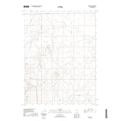
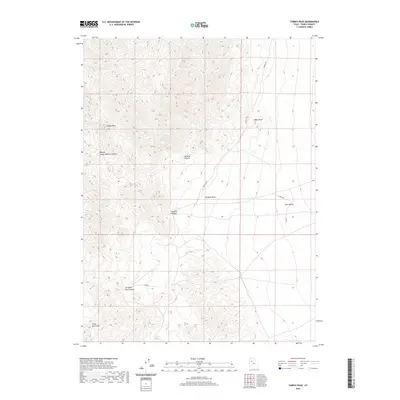
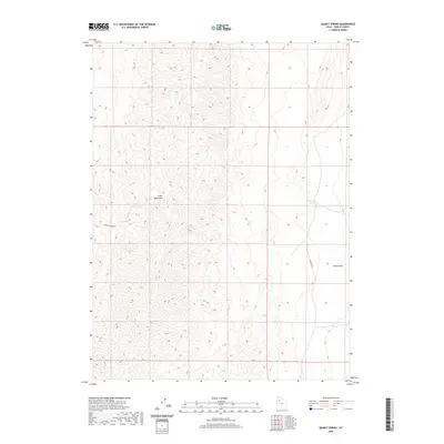
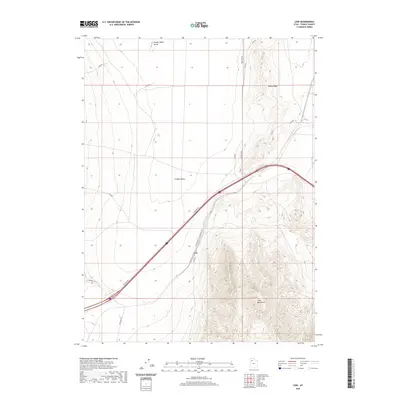
(300)- 2020 Map of Ophir, 2020 Print
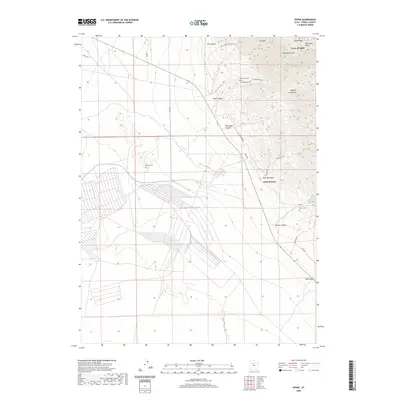 2020 Ophir2020 Print · USGSCovers Tooele County, including Ophir, West Mercur, and other nearby areas
 - 2020 Map of Saint John, 2020 Print
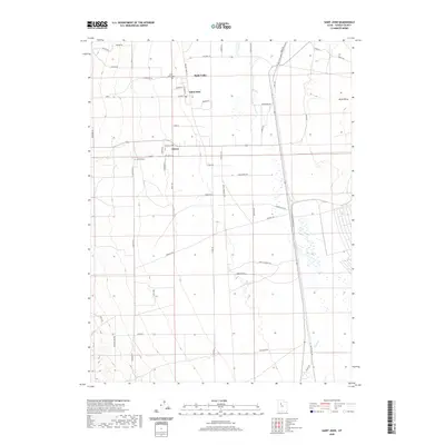 2020 Saint John2020 Print · USGSCovers Tooele County, including Rush Valley, Clover, and other nearby areas
 - 2020 Map of Stockton, 2020 Print
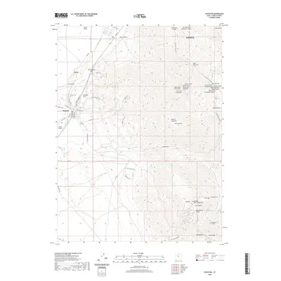 2020 Stockton2020 Print · USGSCovers Tooele County, including Tooele, Stockton, and other nearby areas
 - 2020 Map of Tabbys Peak SW, 2020 Print
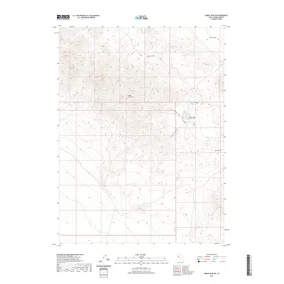 2020 Tabbys Peak SW2020 Print · USGSCovers Tooele County, including United States, Utah, and other nearby areas
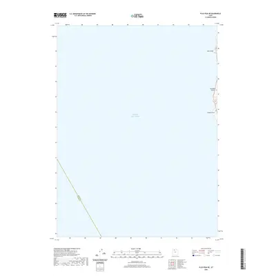
 - 2020 Map of Plug Peak NW, 2020 Print
 2020 Plug Peak NW2020 Print · USGSCovers Tooele County, including Davis County, United States, and other nearby areas
 - 2020 Map of Johnson Pass, 2020 Print
 2020 Johnson Pass2020 Print · USGSCovers Tooele County, including United States, Utah, and other nearby areas
 - 2020 Map of Onaqui Mountains South, 2020 Print
 2020 Onaqui Mountains South2020 Print · USGSCovers Tooele County, including United States, Utah, and other nearby areas
 - 2020 Map of Vernon, 2020 Print
 2020 Vernon2020 Print · USGSCovers Tooele County, including Vernon, United States, and other nearby areas
 - 2020 Map of Farnsworth Peak, 2020 Print
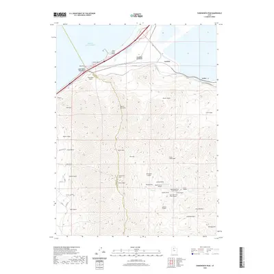 2020 Farnsworth Peak2020 Print · USGSCovers Tooele County, including Magna, Lake Point, and other nearby areas
 - 2020 Map of Vernon NE, 2020 Print
 2020 Vernon NE2020 Print · USGSCovers Tooele County, including United States, Utah, and other nearby areas
 - 2020 Map of Plug Peak NE, 2020 Print
 2020 Plug Peak NE2020 Print · USGSCovers Tooele County, including Davis County, United States, and other nearby areas
 - 2020 Map of Camels Back Ridge SW, 2020 Print
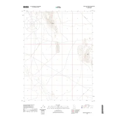 2020 Camels Back Ridge SW2020 Print · USGSCovers Tooele County, including United States, Utah, and other nearby areas
 - 2020 Map of Tabbys Peak, 2020 Print
 2020 Tabbys Peak2020 Print · USGSCovers Tooele County, including United States, Utah, and other nearby areas
 - 2020 Map of Puddle Valley Knolls, 2020 Print
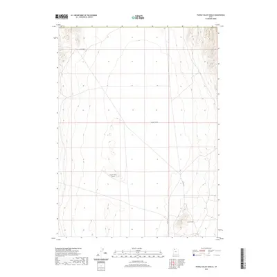 2020 Puddle Valley Knolls2020 Print · USGSCovers Tooele County, including Box Elder County, United States, and other nearby areas
 - 2020 Map of Simpson Springs, 2020 Print
 2020 Simpson Springs2020 Print · USGSCovers Tooele County, including United States, Utah, and other nearby areas
 - 2020 Map of Tooele, 2020 Print
 2020 Tooele2020 Print · USGSCovers Tooele County, including Tooele, Grantsville, and other nearby areas
 - 2020 Map of Quincy Spring, 2020 Print
 2020 Quincy Spring2020 Print · USGSCovers Tooele County, including United States, Utah, and other nearby areas
 - 2020 Map of Hickman Knolls, 2020 Print
 2020 Hickman Knolls2020 Print · USGSCovers Tooele County, including United States, Utah, and other nearby areas
 - 2020 Map of Deseret Peak West, 2020 Print
 2020 Deseret Peak West2020 Print · USGSCovers Tooele County, including Skull Valley, United States, and other nearby areas
 - 2020 Map of Fremont Island SW, 2020 Print
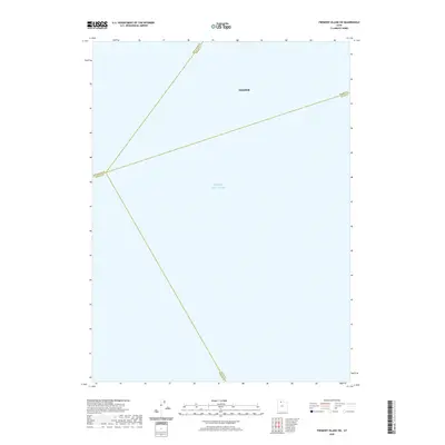 2020 Fremont Island SW2020 Print · USGSCovers Tooele County, including Hooper, Davis County, and other nearby areas
 - 2020 Map of Low, 2020 Print
 2020 Low2020 Print · USGSCovers Tooele County, including United States, Utah, and other nearby areas
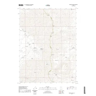
 - 2020 Map of Faust, 2020 Print
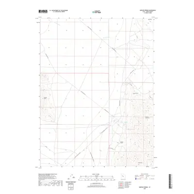
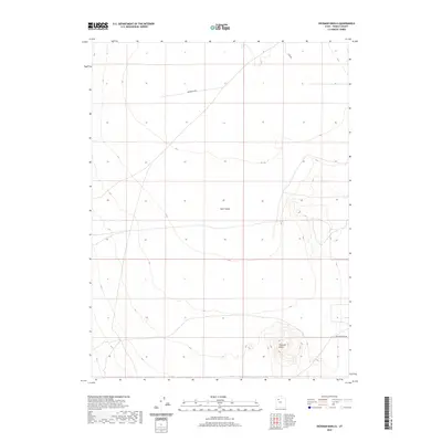
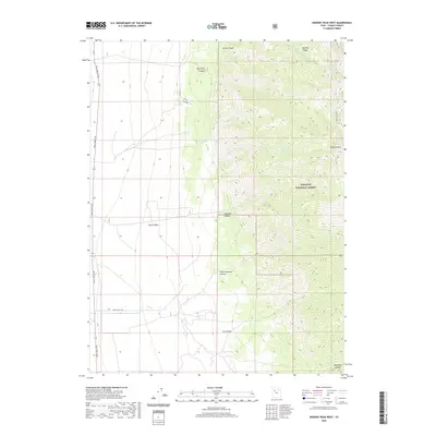
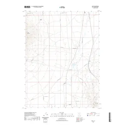 2020 Faust2020 Print · USGSCovers Tooele County, including Vernon, Last Chance Lakes, and other nearby areas
 - 2020 Map of Lowe Peak, 2020 Print
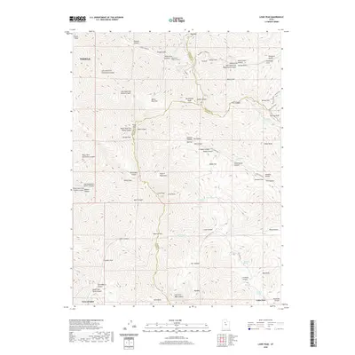 2020 Lowe Peak2020 Print · USGSCovers Tooele County, including Tooele, Cedar Fort, and other nearby areas
 - 2020 Map of Bingham Canyon, 2020 Print
 2020 Bingham Canyon2020 Print · USGSCovers Tooele County, including Salt Lake County, United States, and other nearby areas
 - 2020 Map of Terra, 2020 Print
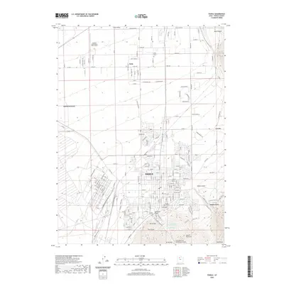
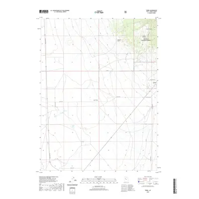 2020 Terra2020 Print · USGSCovers Tooele County, including Terra, United States, and other nearby areas
Showing maps 1-25 of 300
Top cities of Tooele County
- Tooele historical maps
- Grantsville historical maps
- Stansbury Park historical maps
- Erda historical maps
- Lake Point historical maps
- Wendover historical maps
See more
Frequently asked questions
- What are the different types of historical maps available for Tooele County?
- What is the oldest map of Tooele County?
- Where can I purchase historical maps of Tooele County for my home or office?
- Where can I download high-res historical maps of Tooele County?
- Are there historical topographic maps available for Tooele County?
- Is there historical aerial imagery available for Tooele County?
- Where are historical maps of Tooele County sourced from?