2010s Maps of Tooele County, Utah
Explore 466 historic maps of Tooele County from the 2010s. These maps offer a rare glimpse into what life looked like during the 2010s — showing old roads, neighborhoods, homes, and landmarks that have changed or disappeared over time.
Whether you're researching your family's past, planning a metal detecting trip, or studying how Tooele County's landscape evolved across the 2010s, these high-resolution maps are a powerful tool for exploring the history of this region.
- Focus on a specific era: All maps on this page are from the 2010s, giving you a focused view of this time period.
- See what’s changed: Compare century-old streets, trails, and buildings to today's modern landscape using overlays and satellite layers.
- Research with precision: Use these maps for genealogy, historical research, land use analysis, or educational projects.
- View, download, or print: Maps are fully viewable online in high resolution, and can be downloaded or printed for your own records.
Start exploring Tooele County's history through authentic maps from the 2010s. This is your window into the past.
Tooele County, UT maps
(466)- 2010 Map of Graham Peak, 2010 Print
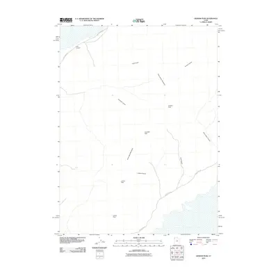 2010 Graham Peak2010 Print · USGSTooele County's high desert peaks and canyons are shown in great detail during the early 21st century. Researchers and hikers can trace the winding route of Silver Island Rd past landmarks like Graham Peak, Donner Canyon, and Lamus Peak.
 - 2010 Map of Arinosa SE, 2010 Print
 2010 Arinosa SE2010 Print · USGSCovers Tooele County, including United States, Utah, and other nearby areas
 - 2010 Map of Wig Mountain NE, 2010 Print
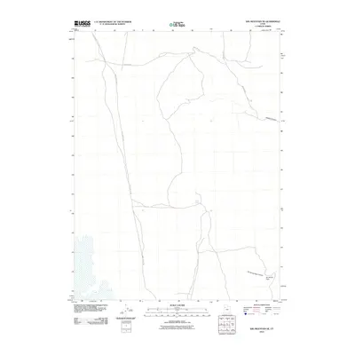 2010 Wig Mountain NE2010 Print · USGSIn the high desert of Tooele County during the early 21st century, the path of the Lincoln Hwy remains a primary artery. Researchers can trace the junction of Skull Valley Rd and explore landmarks like Cedar Spring and Six Horse Pass.
 - 2010 Map of South of Arinosa SE, 2010 Print
 2010 South of Arinosa SE2010 Print · USGSCovers Tooele County, including United States, Utah, and other nearby areas
 - 2010 Map of Gold Hill Wash, 2010 Print
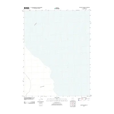 2010 Gold Hill Wash2010 Print · USGSTooele County's high desert landscape is documented here during the early twenty-first century, showing the essential drainage and transit corridors of the region. Researchers can trace the path of Callao Rd as it skirts the western edge near Gold Hill Wash and Rodenhouse Wash.
 - 2010 Map of Dugway Proving Ground NE, 2010 Print
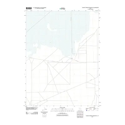 2010 Dugway Proving Ground NE2010 Print · USGSIn the Great Salt Lake Desert during the early twenty-first century, this quadrangle shows the stark intersection of military infrastructure and salt flats. Researchers can trace the layout of the Baker Area and its connection to Goodyear Rd and Stark Rd.
 - 2010 Map of Ibapah, 2010 Print
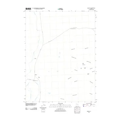 2010 Ibapah2010 Print · USGSNear the Nevada border in the early twenty-first century, this high-desert community preserves its deep connection to frontier history. Genealogists and historians can locate the Ibapah Cemetery, trace the route through Pony Express Canyon, or identify the site of the Dewey Mine.
 - 2010 Map of Goshute Wash, 2010 Print
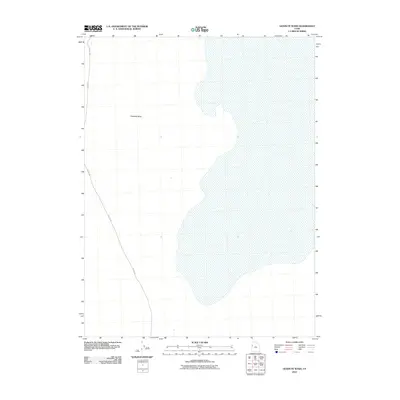 2010 Goshute Wash2010 Print · USGSWestern Utah’s high desert landscape is captured here in the early twenty-first century, showing a remote region of Tooele County. Researchers can trace the path of Callao Rd as it skirts the wide drainage of Goshute Wash.
 - 2010 Map of Barro, 2010 Print
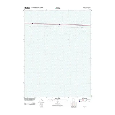 2010 Barro2010 Print · USGSWestern Utah’s salt flats stretch across the horizon in this 2010 survey of the Tooele County desert. Researchers can trace the isolated outpost of Barro and the path of the desert-traversing Frontage Rd across the expansive, open terrain.
 - 2010 Map of Dugway Proving Ground NW, 2010 Print
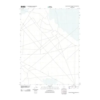 2010 Dugway Proving Ground NW2010 Print · USGSTooele County's high-desert military corridors appear in detail during the early 2000s, showing the intersection of isolated desert routes. Researchers can trace the paths of Goodyear Rd, Stark Rd, and the site at Gp I-3.
 - 2010 Map of Aragonite, 2010 Print
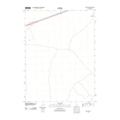 2010 Aragonite2010 Print · USGSTooele County’s desert landscape is captured here in the early twenty-first century, showing the isolated outposts and transport corridors of the western basin. Researchers can trace the layout of Aragonite and Clive or follow routes like Hastings Pass Rd and Cedar Mt Rd.
 - 2010 Map of Aragonite SW, 2010 Print
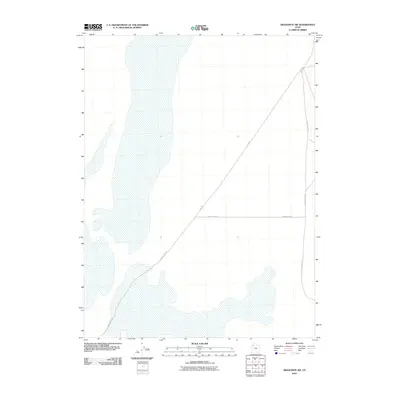 2010 Aragonite SW2010 Print · USGSTooele County's desert interior is captured in this 2010 survey, showcasing the essential transportation arteries of the Great Salt Lake Desert. Researchers can trace the junction of Clive Rd and White Rocks Rd as they cut through the expansive mudflats.
 - 2010 Map of Wildcat Mountain NW, 2010 Print
 2010 Wildcat Mountain NW2010 Print · USGSCovers Tooele County, including United States, Utah, and other nearby areas
 - 2010 Map of Ripple Valley, 2010 Print
 2010 Ripple Valley2010 Print · USGSTooele County's high desert landscape is documented here in the early twenty-first century, centered on the broad expanse of Ripple Valley. Researchers can trace the modern road network where Frontage Rd meets Hastings Pass Rd.
 - 2010 Map of Grassy Mountains, 2010 Print
 2010 Grassy Mountains2010 Print · USGSTooele County’s high desert reaches are captured here in the early twenty-first century, documenting a landscape of sparse trails and isolation. Researchers can trace the ridgelines of the Grassy Mountains and identify the singular landmark of Cobble Hill.
 - 2010 Map of Dugway Proving Ground SW, 2010 Print
 2010 Dugway Proving Ground SW2010 Print · USGSThis western Utah landscape within the military range shows a modern network of desert tracks and geographic landmarks in the early 2000s. Researchers can trace the rugged topography of the Dugway Range and the route of Stark Rd through this restricted area.
 - 2010 Map of Dugway Proving Ground SE, 2010 Print
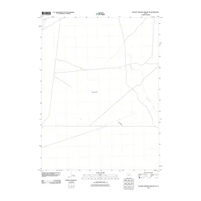 2010 Dugway Proving Ground SE2010 Print · USGSThe eastern Great Basin desert is documented in this 2010 survey of Tooele County. Historians and geologists can trace the prehistoric drainage patterns of the Old River Bed and the arid expanses of the Dugway Valley.
 - 2010 Map of Knolls, 2010 Print
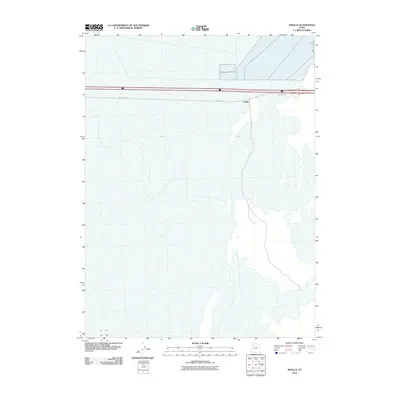 2010 Knolls2010 Print · USGSThe salt flats of Tooele County are captured here in the early twenty-first century, showing a landscape defined by its unique geology and transit corridors. Researchers can locate the settlement of Knolls and follow the path of Frontage Rd across the playa.
 - 2010 Map of Tetzlaff Peak, 2010 Print
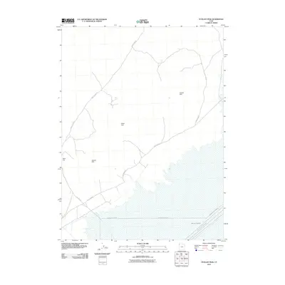 2010 Tetzlaff Peak2010 Print · USGSThe salt flats of western Utah appear in the early 21st century as a world-renowned corridor for high-speed trials. Trace the routes of the Bonneville Speedway and International Racetrack beneath the shadows of Tetzlaff Peak and Rishel Peak.
 - 2010 Map of Wig Mountain SW, 2010 Print
 2010 Wig Mountain SW2010 Print · USGSThe Great Salt Lake Desert was a quiet expanse of salt flats and military testing grounds in the early twenty-first century. Researchers can trace the path of Falconer Rd as it enters this remote corner of the Dugway Proving Ground region.
 - 2010 Map of Ochre Mountain, 2010 Print
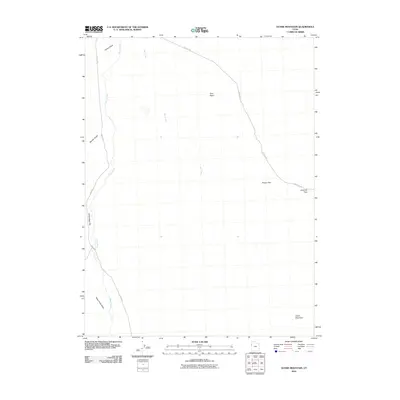 2010 Ochre Mountain2010 Print · USGSTooele County's high desert landscape is captured here in the early twenty-first century, showing the essential routes and landmarks of the West Desert. Trace the winding paths of Gold Hill Rd and Ibapah Rd past Ochre Mountain and Twin Peaks.
 - 2010 Map of Finger Ridge, 2010 Print
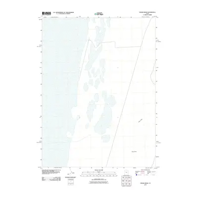 2010 Finger Ridge2010 Print · USGSTooele County's remote desert floor is captured here during the first decade of the millennium, showing a landscape shaped by ancient geological forces. Researchers can trace the precise contours of Finger Ridge and the alluvial patterns within Ripple Valley.
 - 2010 Map of Silver Island Pass, 2010 Print
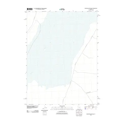 2010 Silver Island Pass2010 Print · USGSThe Great Salt Lake Desert's stark geography is captured here in the early twenty-first century. Researchers can trace the routes of Pilot Peak Rd and Silver Island Rd as they skirt the edges of the Silver Island Pass.
 - 2010 Map of Granite Peak NW, 2010 Print
 2010 Granite Peak NW2010 Print · USGSCovers Tooele County, including United States, Utah, and other nearby areas
 - 2010 Map of Grayback Hills, 2010 Print
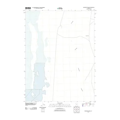 2010 Grayback Hills2010 Print · USGSTooele County's high desert landscape is shown here in the early twenty-first century, before further changes to the Great Salt Lake Desert periphery. Trace the distinct terrain of Thumb Ridge, Pinky Ridge, and the Grayback Hills as they overlook the wide Ripple Valley.
Showing maps 1-25 of 466
Top cities of Tooele County
- Tooele historical maps
- Grantsville historical maps
- Stansbury Park historical maps
- Erda historical maps
- Lake Point historical maps
- Wendover historical maps
See more
Frequently asked questions
- What are the different types of historical maps available for Tooele County?
- What is the oldest map of Tooele County?
- Where can I purchase historical maps of Tooele County for my home or office?
- Where can I download high-res historical maps of Tooele County?
- Are there historical topographic maps available for Tooele County?
- Is there historical aerial imagery available for Tooele County?
- Where are historical maps of Tooele County sourced from?