2020s Maps of Uintah County, Utah
Explore 194 historic maps of Uintah County from the 2020s. These maps offer a rare glimpse into what life looked like during the 2020s — showing old roads, neighborhoods, homes, and landmarks that have changed or disappeared over time.
Whether you're researching your family's past, planning a metal detecting trip, or studying how Uintah County's landscape evolved across the 2020s, these high-resolution maps are a powerful tool for exploring the history of this region.
- Focus on a specific era: All maps on this page are from the 2020s, giving you a focused view of this time period.
- See what’s changed: Compare century-old streets, trails, and buildings to today's modern landscape using overlays and satellite layers.
- Research with precision: Use these maps for genealogy, historical research, land use analysis, or educational projects.
- View, download, or print: Maps are fully viewable online in high resolution, and can be downloaded or printed for your own records.
Start exploring Uintah County's history through authentic maps from the 2020s. This is your window into the past.
Uintah County, UT maps
(194)- 2020 Map of Buck Camp Canyon, 2020 Print
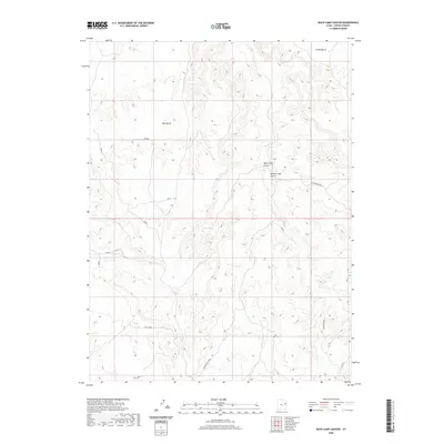 2020 Buck Camp Canyon2020 Print · USGSUintah County's high plateau country is captured here in the contemporary era, showing a landscape shaped by seasonal washes and cattle ranching. Researchers can trace the remote Texaco Survey line and locate landmarks like Bitter Creek Corral and Hells Edge.
 - 2020 Map of Dog Knoll, 2020 Print
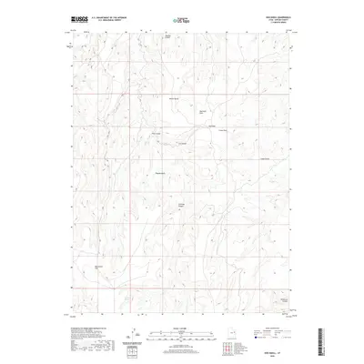 2020 Dog Knoll2020 Print · USGSUintah County's high-desert landscape is captured in this survey of a remote canyon-and-bench system. Trace the geography of the Uinta Basin through landmarks like Tabyago Spring, the broad Big Canyon Flat, and the heights of Benion Bench.
 - 2020 Map of Dragon, 2020 Print
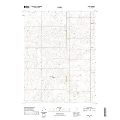 2020 Dragon2020 Print · USGSThe high desert borderlands of eastern Utah appear in detail just before the turn of the decade. Researchers can locate the Dragon settlement and Dragon Cem while tracing the winding paths of Evacuation Creek and Missouri Cr through the canyons.
 - 2020 Map of Black Knolls, 2020 Print
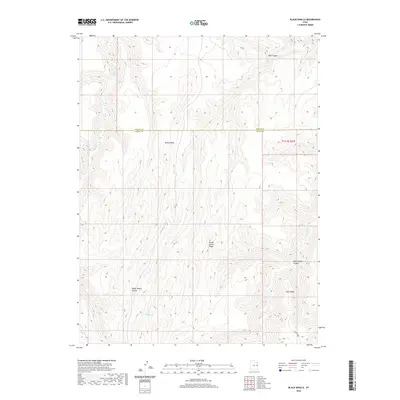 2020 Black Knolls2020 Print · USGSThe high desert canyons of the Uintah and Grand County border are documented here in the early twenty-first century. Researchers can trace the rugged livestock-named geography of the region through landmarks like Picket Corral Ridge and Steer Ridge.
 - 2020 Map of Archy Bench, 2020 Print
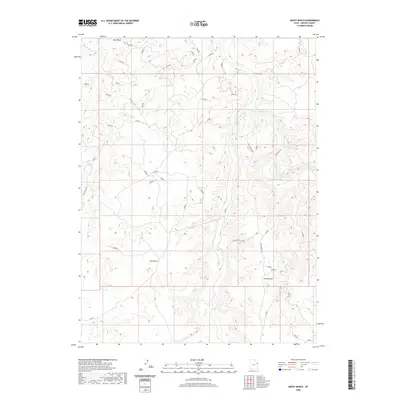 2020 Archy Bench2020 Print · USGSHigh desert plateaus and river canyons define this Uintah County landscape in the early twenty-first century. Researchers can trace the rugged course of the White River and remote upland routes like Archy Bench Rd and the Bitter Creek Cutoff.
 - 2020 Map of Tom Patterson Canyon, 2020 Print
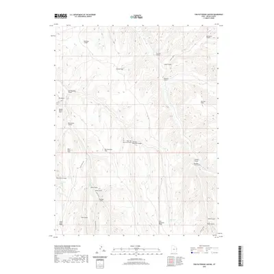 2020 Tom Patterson Canyon2020 Print · USGSUintah County's high ridges and deep canyons are documented in this recent survey of the Utah backcountry. Researchers can trace historic access routes along Railroad Canyon Rd and locate essential water sources like Sweet Water Spring and Black Horse Spring.
 - 2020 Map of Bates Knolls, 2020 Print
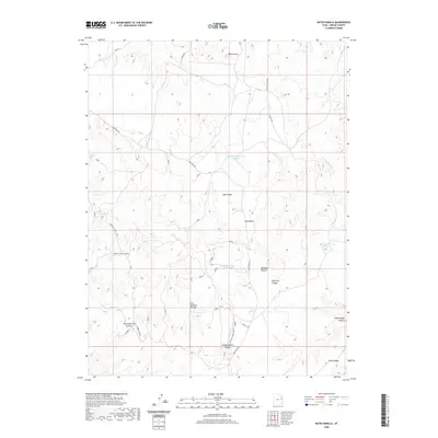 2020 Bates Knolls2020 Print · USGSUintah County's high plateau country is captured here in the 2020s, showing a landscape shaped by deep canyons and isolated ridges. You can trace the rugged access routes to remote landmarks like Bates Knolls, Seep Ridge, and the Sunday School Reservoir.
 - 2020 Map of Moonwater Point, 2020 Print
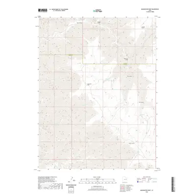 2020 Moonwater Point2020 Print · USGSUintah and Grand counties are captured in the contemporary era, showcasing a high-plateau landscape defined by deep drainages and vital water sources. Researchers can trace the geography of the East Tavaputs Plateau through Moonwater Point, Pinto Springs, and Anna Laura Spring.
 - 2020 Map of Firewater Canyon North, 2020 Print
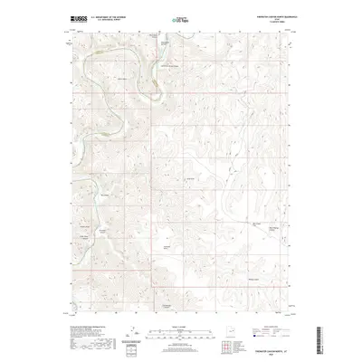 2020 Firewater Canyon North2020 Print · USGSThe Green River corridor in Eastern Utah is documented in this recent survey, capturing the river's path along the Carbon and Uintah county line. River runners and historians can trace the precise locations of Jack Creek Rapids, Rock House Bottom, and high-elevation landmarks like Peters Point.
 - 2020 Map of Moon Bottom, 2020 Print
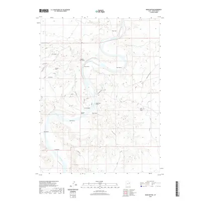 2020 Moon Bottom2020 Print · USGSThe Green River serpentines through Uintah County in the early twenty-first century, creating a series of named riverbank flats. Researchers can trace the layout of early routes like Moon Bottom Rd and remote landmarks such as Wild Horse Bench or Hydes Bottom.
 - 2020 Map of P R Spring, 2020 Print
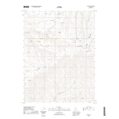 2020 P R Spring2020 Print · USGSUintah and Grand Counties are captured here in the 2020s, showing a remote landscape of high ridges and deep canyons. Researchers can trace the path of Bookcliff Ridge Rd and locate landmarks like Mexico Point or Hideout Canyon.
 - 2020 Map of Firewater Canyon South, 2020 Print
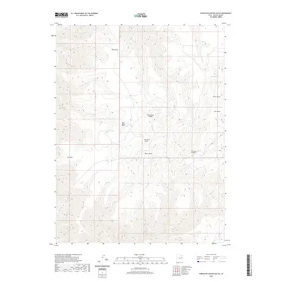 2020 Firewater Canyon South2020 Print · USGSUintah County's high plateau country is revealed in this 2020 study of the drainage systems above the Green River. Researchers can trace the steep descents of Firewater Canyon and Cottonwood Canyon or locate remote water sources like Bishop Spring.
 - 2020 Map of Burnt Timber Canyon, 2020 Print
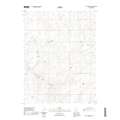 2020 Burnt Timber Canyon2020 Print · USGSUintah County's high ridges and deep canyon drainages are captured here in the early twenty-first century. Researchers can trace the rugged cattle-country routes of Atchee Ridge Rd and locate vital water sources like Flat Rock Spring and Indian Spring.
 - 2020 Map of Rat Hole Ridge, 2020 Print
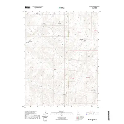 2020 Rat Hole Ridge2020 Print · USGSThe high ridges along the Utah-Colorado border are captured here in modern detail. Trace high-elevation trails and remote drainages like Rat Hole Rdg, Moonshine Canyon, and the winding Lone Spring Ridge Loop.
 - 2020 Map of Tenmile Canyon North, 2020 Print
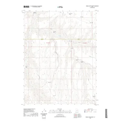 2020 Tenmile Canyon North2020 Print · USGSThe high plateau country of the Uintah and Grand County border is captured here in the early twenty-first century. Researchers can trace the rugged drainage networks of Tenmile Canyon and find landmarks like Cedar Camp and Moon Ridge.
 - 2020 Map of Pine Spring Canyon, 2020 Print
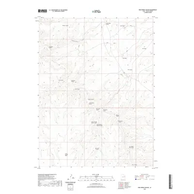 2020 Pine Spring Canyon2020 Print · USGSUintah County's high ridges and carved canyons are documented here in the early twenty-first century. Researchers can trace historic routes and landmarks like Jacks Wagon Road Canyon, the vital Pine Spring, and Little Asphalt Ridge.
 - 2020 Map of Cedar Camp Canyon, 2020 Print
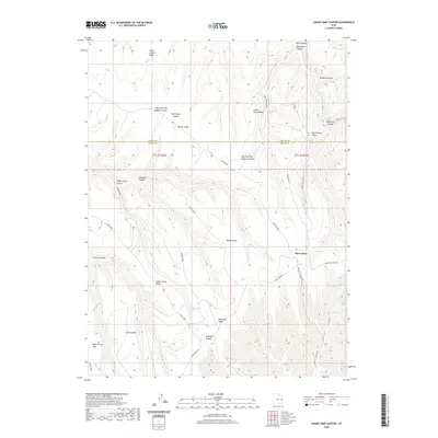 2020 Cedar Camp Canyon2020 Print · USGSThe high plateaus on the Uintah and Grand County border are documented here in 2020, showing a landscape defined by deep canyons and isolated ridges. Researchers can trace the remote routes of Book Cliff Ridge Rd and locate vital water sources like Cedar Camp Spring and Shale Spring.
 - 2020 Map of Crow Knoll, 2020 Print
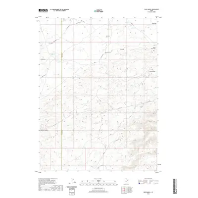 2020 Crow Knoll2020 Print · USGSEastern Utah at the border of Duchesne and Uintah Counties shows a landscape of strategic water management and ranch roads. Trace the arid drainages of Big Wash and Fourmile Wash, or locate remote landmarks like Crow Knoll and Kilroy Reservoir.
 - 2020 Map of Nutters Hole, 2020 Print
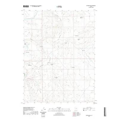 2020 Nutters Hole2020 Print · USGSThe high desert canyons and the winding Green River define this Uintah County landscape in the 2020s. Researchers can trace remote routes and natural landmarks like Nutters Hole, the unique formation of The Wrinkles, and the deep Sumner Amphitheater.
 - 2020 Map of Chicken Fork, 2020 Print
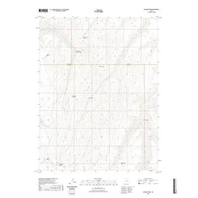 2020 Chicken Fork2020 Print · USGSUintah and Grand counties are captured here in the early twenty-first century, showcasing a high-desert landscape defined by complex canyon systems. Local historians can trace traditional livestock routes through Little Doggie Canyon and locate vital water sources like Post Canyon Spring.
 - 2020 Map of Wolf Flat, 2020 Print
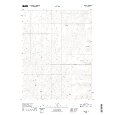 2020 Wolf Flat2020 Print · USGSUintah County's high plateau country is documented here in the early twenty-first century, showing a landscape defined by deep rimrock and isolated water sources. Trace the geography of the rim from Death Canyon Point to the drainages of Wolf Flat and Tabyago Canyon.
 - 2020 Map of Flat Rock Mesa, 2020 Print
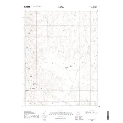 2020 Flat Rock Mesa2020 Print · USGSUintah County in the modern era remains a landscape of deep canyons and high plateaus where the history of travel and geography is written into the terrain. Researchers can trace historical routes through Mail Canyon and Upper Wagon Canyon or locate the vital Flat Rock Spring.
 - 2020 Map of Davis Canyon, 2020 Print
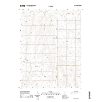 2020 Davis Canyon2020 Print · USGSThe Colorado-Utah borderlands near the Garfield and Rio Blanco county lines come into focus during this twenty-first-century survey. Trace the high-altitude route of Atchee Ridge Rd and the deep cuts of Davis Canyon, Dragon Canyon, and Whiskey Cr.
 - 2020 Map of Rainbow, 2020 Print
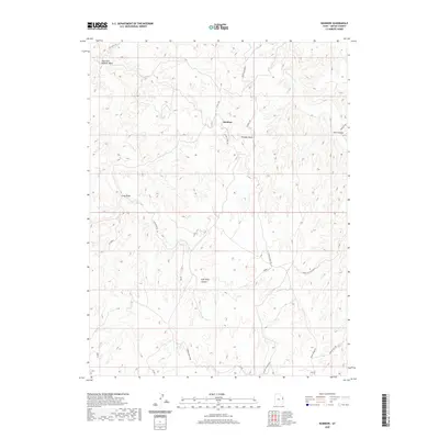 2020 Rainbow2020 Print · USGSUintah County's high canyon country is documented here in the early twenty-first century. Researchers can trace the rugged network of ranching and resource roads like Atchee Ridge Rd and Country Boy Rd near the Rainbow settlement.
 - 2020 Map of Big Pack Mountain, 2020 Print
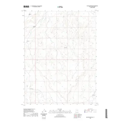 2020 Big Pack Mountain2020 Print · USGSBig Pack Mountain and the surrounding canyons of Uintah County are captured here in the early twenty-first century. Researchers can trace the winding paths of Hill Cr and Willow Cr as they cut through Wild Horse Bench and Peter Post Canyon.
Showing maps 1-25 of 194
Top cities of Uintah County
Frequently asked questions
- What are the different types of historical maps available for Uintah County?
- What is the oldest map of Uintah County?
- Where can I purchase historical maps of Uintah County for my home or office?
- Where can I download high-res historical maps of Uintah County?
- Are there historical topographic maps available for Uintah County?
- Is there historical aerial imagery available for Uintah County?
- Where are historical maps of Uintah County sourced from?