2000s (21st Century) Maps of Uintah County, Utah
Explore 490 historic maps of Uintah County from the 2000s (21st Century). These maps offer a rare glimpse into what life looked like during the 2000s — showing old roads, neighborhoods, homes, and landmarks that have changed or disappeared over time.
Whether you're researching your family's past, planning a metal detecting trip, or studying how Uintah County's landscape evolved across the 2000s, these high-resolution maps are a powerful tool for exploring the history of this region.
- Focus on a specific era: All maps on this page are from the 2000s, giving you a focused view of this time period.
- See what’s changed: Compare century-old streets, trails, and buildings to today's modern landscape using overlays and satellite layers.
- Research with precision: Use these maps for genealogy, historical research, land use analysis, or educational projects.
- View, download, or print: Maps are fully viewable online in high resolution, and can be downloaded or printed for your own records.
Start exploring Uintah County's history through authentic maps from the 2000s. This is your window into the past.
Uintah County, UT maps
(490)- 2011 Map of Steer Ridge Canyon, 2011 Print
 2011 Steer Ridge Canyon2011 Print · USGSCovers Uintah County, including Carbon County, United States, and other nearby areas
 - 2011 Map of Chandler Falls, 2011 Print
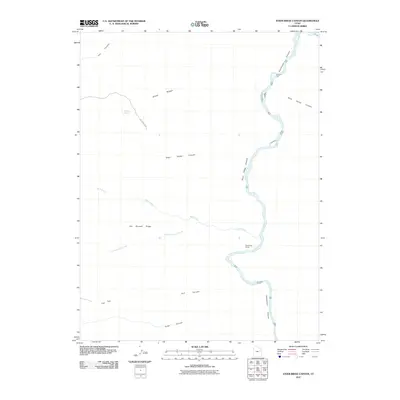
 2011 Chandler Falls2011 Print · USGSCovers Uintah County, including Carbon County, Grand County, and other nearby areas
 - 2011 Map of Cedar Ridge Canyon, 2011 Print
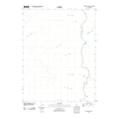
 2011 Cedar Ridge Canyon2011 Print · USGSCovers Uintah County, including Carbon County, United States, and other nearby areas
 - 2011 Map of Weaver Ridge, 2011 Print
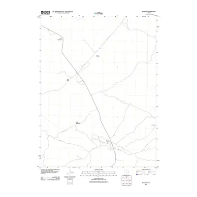
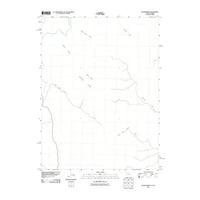 2011 Weaver Ridge2011 Print · USGSCovers Uintah County, including Rio Blanco County, United States, and other nearby areas
 - 2011 Map of Crow Knoll, 2011 Print
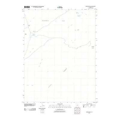 2011 Crow Knoll2011 Print · USGSCovers Uintah County, including Duchesne County, United States, and other nearby areas
 - 2011 Map of Firewater Canyon North, 2011 Print
 2011 Firewater Canyon North2011 Print · USGSCovers Uintah County, including Carbon County, United States, and other nearby areas
 - 2011 Map of Bates Knolls, 2011 Print
 2011 Bates Knolls2011 Print · USGSCovers Uintah County, including United States, Utah, and other nearby areas
 - 2011 Map of Moon Bottom, 2011 Print
 2011 Moon Bottom2011 Print · USGSCovers Uintah County, including United States, Utah, and other nearby areas
 - 2011 Map of Cliff Ridge, 2011 Print
 2011 Cliff Ridge2011 Print · USGSCovers Uintah County, including United States, Utah, and other nearby areas
 - 2011 Map of Moonwater Point, 2011 Print
 2011 Moonwater Point2011 Print · USGSCovers Uintah County, including Grand County, United States, and other nearby areas
 - 2011 Map of Bonanza, 2011 Print
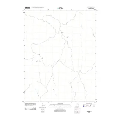
 2011 Bonanza2011 Print · USGSCovers Uintah County, including Little Bonanza, Bonanza, and other nearby areas
 - 2011 Map of Black Knolls, 2011 Print
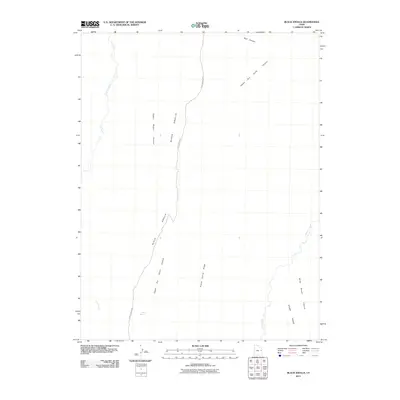 2011 Black Knolls2011 Print · USGSCovers Uintah County, including Grand County, United States, and other nearby areas
 - 2011 Map of Rainbow, 2011 Print
 2011 Rainbow2011 Print · USGSCovers Uintah County, including United States, Utah, and other nearby areas
 - 2011 Map of P R Spring, 2011 Print
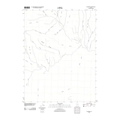 2011 P R Spring2011 Print · USGSCovers Uintah County, including Grand County, United States, and other nearby areas
 - 2011 Map of Pine Spring Canyon, 2011 Print
 2011 Pine Spring Canyon2011 Print · USGSCovers Uintah County, including United States, Utah, and other nearby areas
 - 2011 Map of Walsh Knolls, 2011 Print
 2011 Walsh Knolls2011 Print · USGSCovers Uintah County, including Rio Blanco County, United States, and other nearby areas
 - 2011 Map of Cedar Camp Canyon, 2011 Print
 2011 Cedar Camp Canyon2011 Print · USGSCovers Uintah County, including Grand County, United States, and other nearby areas
 - 2011 Map of Buck Camp Canyon, 2011 Print
 2011 Buck Camp Canyon2011 Print · USGSCovers Uintah County, including United States, Utah, and other nearby areas
 - 2011 Map of Burnt Timber Canyon, 2011 Print
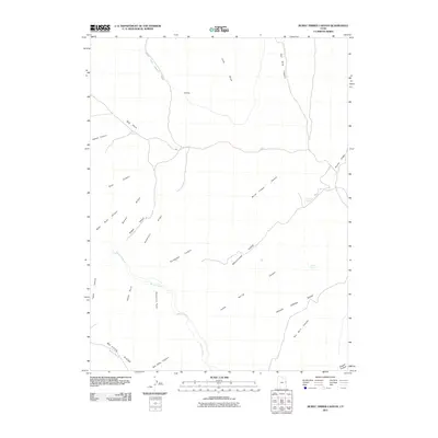 2011 Burnt Timber Canyon2011 Print · USGSCovers Uintah County, including United States, Utah, and other nearby areas
 - 2011 Map of Asphalt Wash, 2011 Print
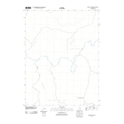 2011 Asphalt Wash2011 Print · USGSCovers Uintah County, including United States, Utah, and other nearby areas
 - 2011 Map of Dinosaur Quarry, 2011 Print
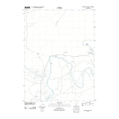 2011 Dinosaur Quarry2011 Print · USGSCovers Uintah County, including United States, Utah, and other nearby areas
 - 2011 Map of Southam Canyon, 2011 Print
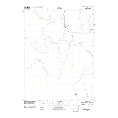 2011 Southam Canyon2011 Print · USGSCovers Uintah County, including United States, Utah, and other nearby areas
 - 2011 Map of Wolf Flat, 2011 Print
 2011 Wolf Flat2011 Print · USGSCovers Uintah County, including United States, Utah, and other nearby areas
 - 2011 Map of Archy Bench, 2011 Print
 2011 Archy Bench2011 Print · USGSCovers Uintah County, including United States, Utah, and other nearby areas
 - 2011 Map of San Arroyo Ridge, 2011 Print
 2011 San Arroyo Ridge2011 Print · USGSCovers Uintah County, including Grand County, United States, and other nearby areas
Showing maps 1-25 of 490
Top cities of Uintah County
Frequently asked questions
- What are the different types of historical maps available for Uintah County?
- What is the oldest map of Uintah County?
- Where can I purchase historical maps of Uintah County for my home or office?
- Where can I download high-res historical maps of Uintah County?
- Are there historical topographic maps available for Uintah County?
- Is there historical aerial imagery available for Uintah County?
- Where are historical maps of Uintah County sourced from?