2010s Maps of Uintah County, Utah
Explore 296 historic maps of Uintah County from the 2010s. These maps offer a rare glimpse into what life looked like during the 2010s — showing old roads, neighborhoods, homes, and landmarks that have changed or disappeared over time.
Whether you're researching your family's past, planning a metal detecting trip, or studying how Uintah County's landscape evolved across the 2010s, these high-resolution maps are a powerful tool for exploring the history of this region.
- Focus on a specific era: All maps on this page are from the 2010s, giving you a focused view of this time period.
- See what’s changed: Compare century-old streets, trails, and buildings to today's modern landscape using overlays and satellite layers.
- Research with precision: Use these maps for genealogy, historical research, land use analysis, or educational projects.
- View, download, or print: Maps are fully viewable online in high resolution, and can be downloaded or printed for your own records.
Start exploring Uintah County's history through authentic maps from the 2010s. This is your window into the past.
Uintah County, UT maps
(296)- 2011 Map of Steer Ridge Canyon, 2011 Print
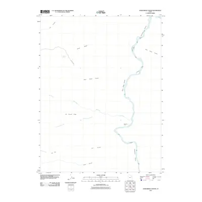 2011 Steer Ridge Canyon2011 Print · USGSDesolation Canyon and the Green River dominate this part of Uintah County during the early twenty-first century. Researchers can trace the path of Steer Ridge Rd to find Rock Creek Ranch and isolated water sources like Johnson Spring.
 - 2011 Map of Chandler Falls, 2011 Print
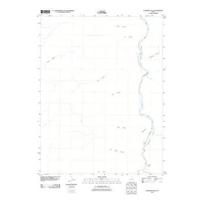 2011 Chandler Falls2011 Print · USGSThe Green River carves through the remote Uintah County canyonlands during the early twenty-first century. Researchers can trace the isolated McPherson Ranch and the rugged convergence of Chandler Canyon at the site of Chandler Falls.
 - 2011 Map of Cedar Ridge Canyon, 2011 Print
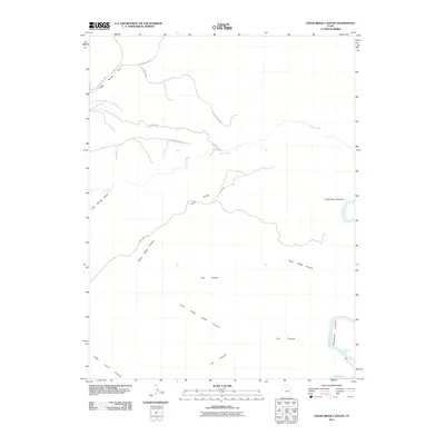 2011 Cedar Ridge Canyon2011 Print · USGSThe high plateau and canyon country of eastern Utah appear here during the early twenty-first century as the Green River cuts through the desert. Researchers can trace the winding course of Desolation Canyon, find the Flat Canyon Rapids, and locate local landmarks like Lunts Horse Pasture.
 - 2011 Map of Weaver Ridge, 2011 Print
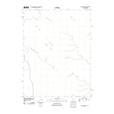 2011 Weaver Ridge2011 Print · USGSUintah County's high desert plateaus are documented here in the early twenty-first century, showing the intersection of Utah and Colorado. Researchers can trace the winding course of the White River and the mineral-rich landscape near the Gilsonite Hills and Weaver Ridge.
 - 2011 Map of Crow Knoll, 2011 Print
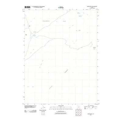 2011 Crow Knoll2011 Print · USGSUintah County's arid basin and upland knolls are captured here in the early 2000s, documenting a landscape shaped by water scarcity. Researchers can trace seasonal drainages and local landmarks like Crow Knoll, Coleman Reservoir, and the vast Eightmile Flat.
 - 2011 Map of Firewater Canyon North, 2011 Print
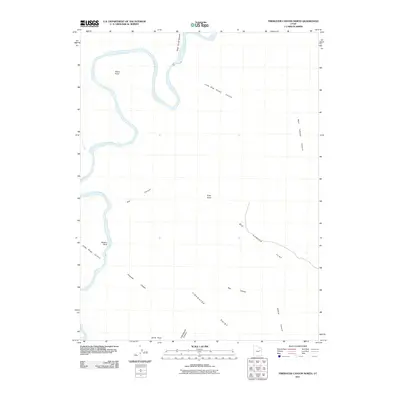 2011 Firewater Canyon North2011 Print · USGSUintah County's dramatic canyonlands are mapped here in the early 21st century as the Green River winds past Peters Point. Trace the remote terrain and access routes through Firewater Canyon, Gray Knoll, and the Rock House Bottom riverbend.
 - 2011 Map of Bates Knolls, 2011 Print
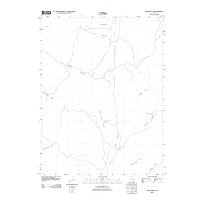 2011 Bates Knolls2011 Print · USGSUintah County's high-plateau country is captured here during the early twenty-first century, showing a landscape defined by ridgeline roads and vital water catchments. Researchers can trace remote locales like Hatchs Camp and the namesake Bates Knolls along the path of Seep Ridge Rd.
 - 2011 Map of Moon Bottom, 2011 Print
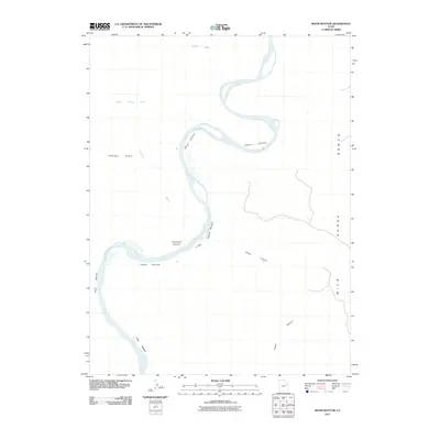 2011 Moon Bottom2011 Print · USGSThe Green River corridor in Uintah County is captured here just after the turn of the millennium, revealing a landscape of expansive riverbanks and desert washes. Researchers can trace the winding waterway through named flats like Moon Bottom and Snider Bottom or follow the dramatic rise of Wild Horse Bench.
 - 2011 Map of Cliff Ridge, 2011 Print
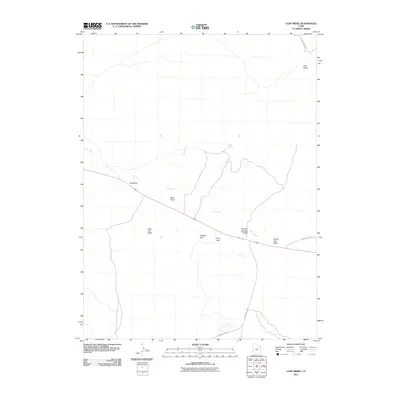 2011 Cliff Ridge2011 Print · USGSUintah County's high-desert terrain is documented here in the early twenty-first century, showing the intersection of vital water sources and remote roads. Researchers can trace the paths of Old Bonanza Hwy and Miners Draw Rd past landmarks like The Rim Rock.
 - 2011 Map of Moonwater Point, 2011 Print
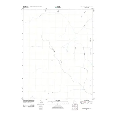 2011 Moonwater Point2011 Print · USGSUintah County's high plateau country is captured here during the early 2000s, showcasing a landscape carved by deep canyons and isolated water sources. Researchers can map the locations of Anna Laura Spring, Marys Water, and the prominent Moonwater Point.
 - 2011 Map of Bonanza, 2011 Print
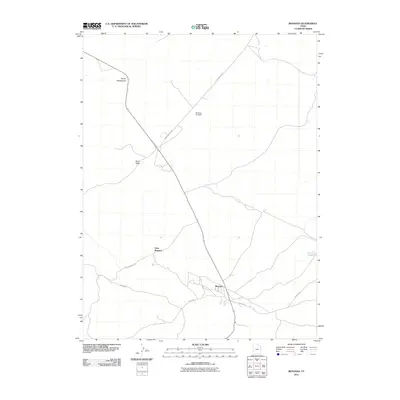 2011 Bonanza2011 Print · USGSUintah County's industrial desert landscape is documented here in the early twenty-first century. Genealogists and historians can trace the footprint of Bonanza and Little Bonanza while locating landmarks like Devils Playground and the Bonanza Air Strip.
 - 2011 Map of Black Knolls, 2011 Print
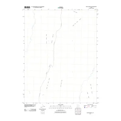 2011 Black Knolls2011 Print · USGSUintah County's high desert landscape comes into focus during the early twenty-first century, showing a network of remote canyons and ridges. Researchers can trace the path of Sego Canyon Rd past features like Goat Spring and the Black Knolls.
 - 2011 Map of Rainbow, 2011 Print
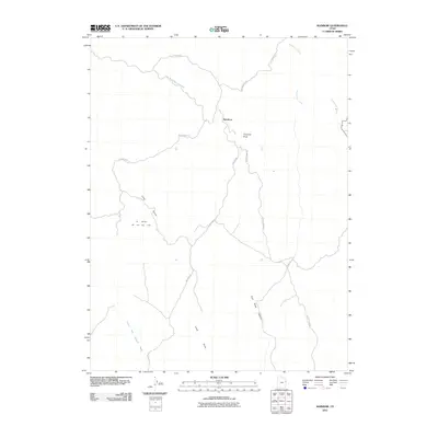 2011 Rainbow2011 Print · USGSThe Uintah Basin in the early twenty-first century is a landscape of energy extraction and deep desert canyons. Researchers can trace remote routes like Atchee Ridge Rd past landmarks such as Thimble Rock and the Oil Springs Oil and Gas Field.
 - 2011 Map of P R Spring, 2011 Print
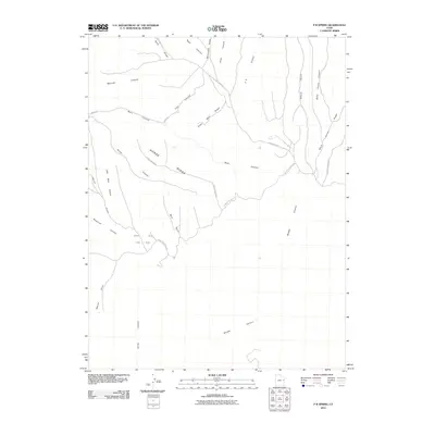 2011 P R Spring2011 Print · USGSUintah County's high-desert plateau is captured here in the early twenty-first century, showing a landscape defined by industrial energy and remote geography. Researchers can trace the intersection of Gas Field operations with local landmarks like P R Spring and the winding Seep Ridge Rd.
 - 2011 Map of Pine Spring Canyon, 2011 Print
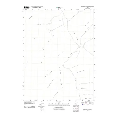 2011 Pine Spring Canyon2011 Print · USGSUintah County's high plateau country is captured here during the early twenty-first century, showing the intricate drainages of the Book Cliffs. Researchers can locate remote landmarks like Mayos Cabin, trace the length of Seep Ridge, and find water at Pine Spring.
 - 2011 Map of Walsh Knolls, 2011 Print
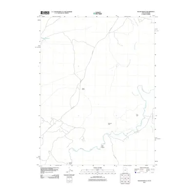 2011 Walsh Knolls2011 Print · USGSUintah County's high desert landscape is shown here in the early twenty-first century as a network of remote mining and ranching corridors. Trace the path of the White River to locate the Iron Bridge Mine and early landmarks like Little Dicks Bottom.
 - 2011 Map of Cedar Camp Canyon, 2011 Print
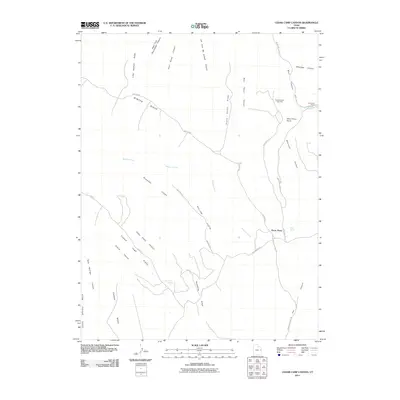 2011 Cedar Camp Canyon2011 Print · USGSUintah County's high ridges and deep canyons are captured here in the early twenty-first century. Researchers can locate remote outposts like Tomlinson Ranch and trace rugged backcountry routes including Winter Ridge Road and Book Cliff Ridge Rd.
 - 2011 Map of Buck Camp Canyon, 2011 Print
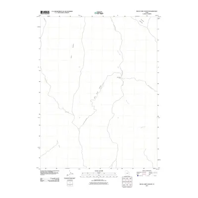 2011 Buck Camp Canyon2011 Print · USGSUintah County's high desert landscape is documented here in the early twenty-first century, showing a remote region shaped by ranching and erosion. Trace the isolated Bitter Creek Corral and the rugged paths of Buck Camp Canyon Rd and Sand Wash.
 - 2011 Map of Burnt Timber Canyon, 2011 Print
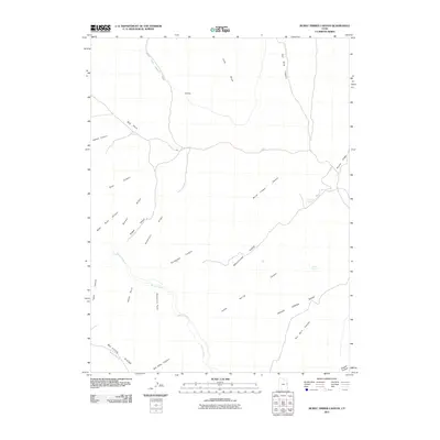 2011 Burnt Timber Canyon2011 Print · USGSHigh plateau country in Uintah County is captured here in the early twenty-first century, showing a remote landscape of deep canyons and water-starved ridges. Researchers can trace the path of McCook Ridge Rd past landmarks like Wolf Den and Dynamite Point.
 - 2011 Map of Asphalt Wash, 2011 Print
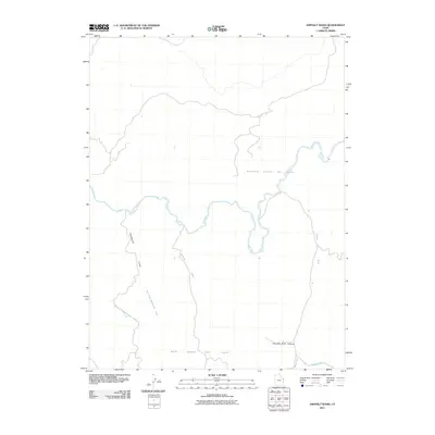 2011 Asphalt Wash2011 Print · USGSUintah County's energy landscape and desert waterways come into focus in this early twenty-first-century survey. Researchers can trace the industrial footprint of the Southman Canyon Gas Field alongside natural features like White River and Hanging Rock Hollow.
 - 2011 Map of Dinosaur Quarry, 2011 Print
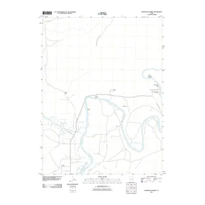 2011 Dinosaur Quarry2011 Print · USGSThe Green River corridor in Uintah County is captured here just after the turn of the millennium, centered on the paleontological wonders of the Dinosaur Quarry. Researchers can locate Jensen Cemetery and trace historical travel routes like Escalante Crossing and Island Park Rd.
 - 2011 Map of Southam Canyon, 2011 Print
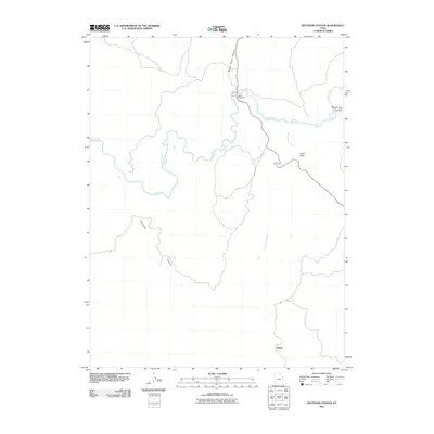 2011 Southam Canyon2011 Print · USGSUintah County in the early twenty-first century reveals a landscape shaped by historical transit and water drainage. Researchers can trace the path of the White River while locating historical points like Ignatio Stage Stop and the settlement at Watson.
 - 2011 Map of Wolf Flat, 2011 Print
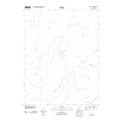 2011 Wolf Flat2011 Print · USGSUintah County's high-desert landscape is captured here in the early twenty-first century, showing a terrain defined by complex canyon systems and vital water sources. Researchers can trace the pathways between Wolf Flat and springs like Charlie Brown Spring or Secret Spring.
 - 2011 Map of Archy Bench, 2011 Print
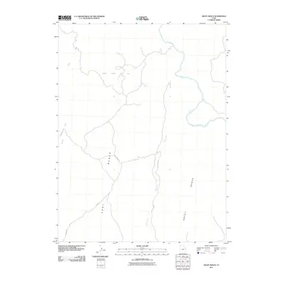 2011 Archy Bench2011 Print · USGSThe Uintah Basin's high plateaus are documented here in the early 2000s, showcasing a landscape defined by energy extraction and river geography. Researchers can trace the industrial footprint of the Bitter Creek Gas Field and the winding course of the White River.
 - 2011 Map of San Arroyo Ridge, 2011 Print
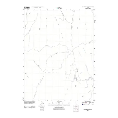 2011 San Arroyo Ridge2011 Print · USGSEastern Utah's high-desert terrain is captured here in the early twenty-first century, showcasing a landscape of energy development and prominent ridge lines. Researchers can trace the infrastructure of the East Canyon Gas Field and locate remote outposts like San Arroyo Camp.
Showing maps 1-25 of 296
Top cities of Uintah County
Frequently asked questions
- What are the different types of historical maps available for Uintah County?
- What is the oldest map of Uintah County?
- Where can I purchase historical maps of Uintah County for my home or office?
- Where can I download high-res historical maps of Uintah County?
- Are there historical topographic maps available for Uintah County?
- Is there historical aerial imagery available for Uintah County?
- Where are historical maps of Uintah County sourced from?