2020s Maps of Cowlitz County, Washington
Explore 83 historic maps of Cowlitz County from the 2020s. These maps offer a rare glimpse into what life looked like during the 2020s — showing old roads, neighborhoods, homes, and landmarks that have changed or disappeared over time.
Whether you're researching your family's past, planning a metal detecting trip, or studying how Cowlitz County's landscape evolved across the 2020s, these high-resolution maps are a powerful tool for exploring the history of this region.
- Focus on a specific era: All maps on this page are from the 2020s, giving you a focused view of this time period.
- See what’s changed: Compare century-old streets, trails, and buildings to today's modern landscape using overlays and satellite layers.
- Research with precision: Use these maps for genealogy, historical research, land use analysis, or educational projects.
- View, download, or print: Maps are fully viewable online in high resolution, and can be downloaded or printed for your own records.
Start exploring Cowlitz County's history through authentic maps from the 2020s. This is your window into the past.
Cowlitz County, WA maps
(83)- 2020 Map of Ridgefield, 2020 Print
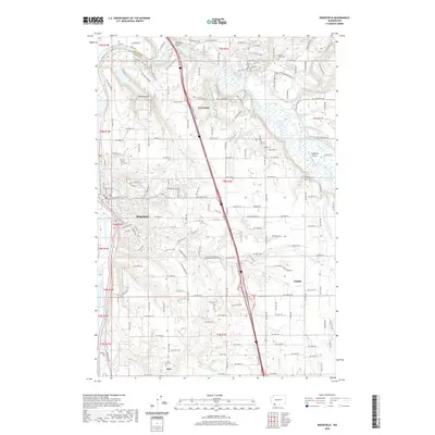 2020 Ridgefield2020 Print · USGSRidgefield and the Lewis River valley are captured here in the 2020s, showing the modern layout of Clark County's historic river towns. Genealogists and local historians can trace family sites at the Pioneer Cem, Mount Zion Cem, and the old settlement of Sara.
 - 2020 Map of Woodland, 2020 Print
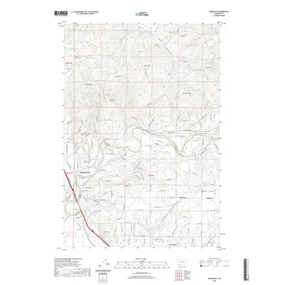 2020 Woodland2020 Print · USGSWoodland and the Lewis River valley are captured here at the start of the 2020s, showing a mix of growing river towns and upland homesteads. Genealogists and local researchers can trace old family sites near Cowlitz Cem, Hayes, and the rural crossroads of Pine Grove.
 - 2020 Map of Amboy, 2020 Print
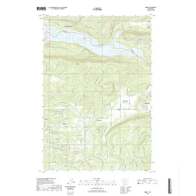 2020 Amboy2020 Print · USGSAmboy and the surrounding prairie country are documented here in the early twenty-first century as the region maintains its rural timber and aviation character. Researchers can trace land use through features like Columbia Tie Mill Pond, Chelatchie Prairie, and the Mount St Helen's Aero Ranch.
 - 2020 Map of Yale Dam, 2020 Print
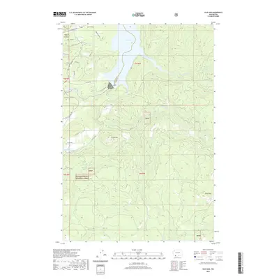 2020 Yale Dam2020 Print · USGSThe Lewis River valley comes alive in this contemporary view of the Washington timberlands and hydroelectric reservoirs. Researchers can trace the perimeter of the Gifford Pinchot National Forest and locate the Mount St Helens Aero Ranch and Chelatchie Prairie Mill Pond.
 - 2020 Map of Ariel, 2020 Print
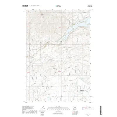 2020 Ariel2020 Print · USGSThe Lewis River valley and the rural communities of Clark County are shown here in modern detail. Researchers can trace the heritage of Ariel and Etna, or locate family sites near Mountain View Cem and the waters of Fargher Lake.
 - 2020 Map of Hoffstadt Mountain, 2020 Print
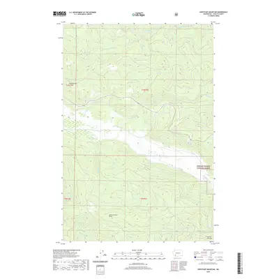 2020 Hoffstadt Mountain2020 Print · USGSCowlitz County’s high country is documented in the modern era as it recovers and stabilizes within the Toutle Mountain Range. Hikers and researchers can trace the drainages of Hoffstadt Cr and N Fork Toutle River near Hoffstadt Mtn.
 - 2020 Map of Kelso, 2020 Print
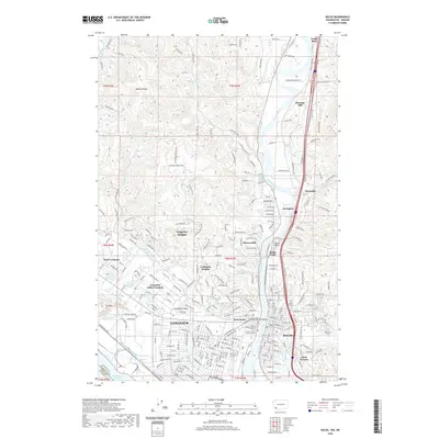 2020 Kelso2020 Print · USGSThe industrial and civic centers of Longview and Kelso are documented here at the height of their modern development. Researchers can trace the layout of Lake Sacajawea Park, locate the Cowlitz County Hall of Justice, and find local institutions like Kelso High School.
 - 2020 Map of Toutle Mountain, 2020 Print
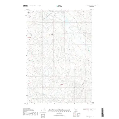 2020 Toutle Mountain2020 Print · USGSCowlitz County’s high country is documented in recent detail as it appeared in 2020. Researchers can trace the path of the North Fork Toutle River and locate mountain landmarks like Signal Peak and the settlement at Saint Helens.
 - 2020 Map of Castle Rock, 2020 Print
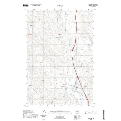 2020 Castle Rock2020 Print · USGSCastle Rock and the Cowlitz River corridor are captured here in the modern era, showing the intersection of river life and valley farming. Genealogists can locate family names at the Whittle and Hubbard Cem or trace rural tracts in the Arkansas Valley.
 - 2020 Map of Wolf Point, 2020 Print
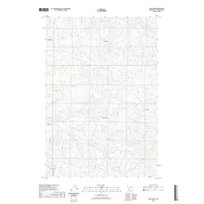 2020 Wolf Point2020 Print · USGSCowlitz County’s timberlands and river basins are captured in detail during the 2020s. Researchers can trace the path of the Coweeman River and South Fork Toutle River or locate landmarks like Washboard Falls and Baird Mtn.
 - 2020 Map of Elk Rock, 2020 Print
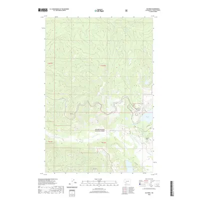 2020 Elk Rock2020 Print · USGSCowlitz County’s volcanic landscape is captured here in the years following the major changes to the Toutle River valley. Researchers can trace the modern boundaries of the Gifford Pinchot National Forest and locate features like Coldwater Lake, Elk Rock, and Johnston Ridge.
 - 2020 Map of Hemlock Pass, 2020 Print
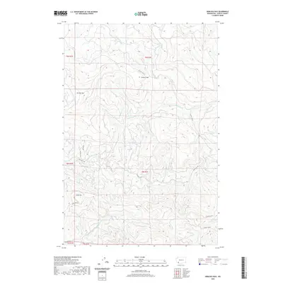 2020 Hemlock Pass2020 Print · USGSCowlitz County timberlands are mapped here in the modern era, showing the intersection of industrial logging roads and historical creek names. Genealogists and hikers can trace watercourses like Jim Watson Cr or find high-ground landmarks like Hemlock Pass and Meridian Mtn.
 - 2020 Map of Eden Valley, 2020 Print
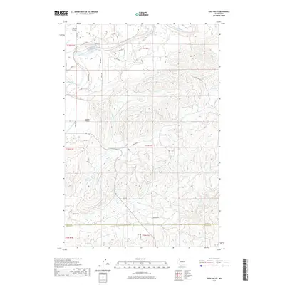 2020 Eden Valley2020 Print · USGSCowlitz County and Lewis County meet here in a landscape of open prairies and deep creek drainages during the 2020s. Researchers can trace family history at Ike Cem or explore the rural topography around Eden Valley and Cowlitz Prairie.
 - 2020 Map of Winters Mountain, 2020 Print
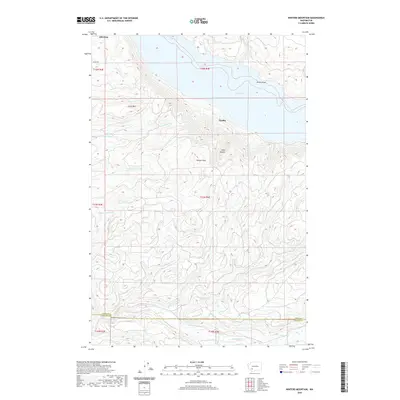 2020 Winters Mountain2020 Print · USGSThe high peaks and deep river valleys of Lewis County are seen here in recent years, centered on the waters of Riffe Lake. Researchers can trace the Lewis-Cowlitz county line and find landmarks like Nesika, Alta Vista, and Soda Spring.
 - 2020 Map of Coyote Mountain, 2020 Print
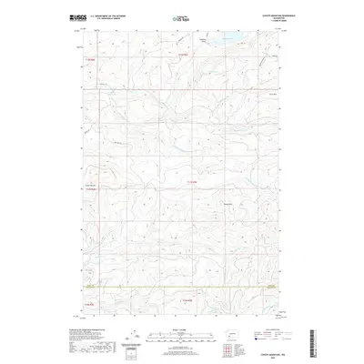 2020 Coyote Mountain2020 Print · USGSThe timberlands and high ridges along the Lewis and Cowlitz County line are captured here in the contemporary era. Researchers can trace the legacy of the logging industry through landmarks like the Long-Bell Mill Pond, Swofford Valley, and Coyote Mtn.
 - 2020 Map of Kalama, 2020 Print
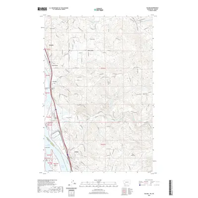 2020 Kalama2020 Print · USGSThe Columbia River corridor near Kalama and Kelso is documented here in the early twenty-first century as it borders Oregon. Researchers can trace rural settlement patterns through Rose Valley Cem, the winding Mount Pleasant Rd, and river landmarks like Cottonwood Island.
 - 2020 Map of Spirit Lake West, 2020 Print
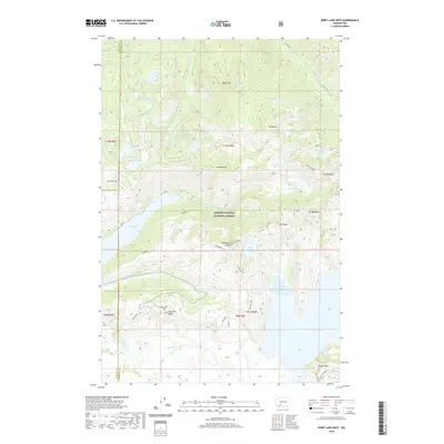 2020 Spirit Lake West2020 Print · USGSThe high Cascades near the Cowlitz and Skamania county line are shown here as they appeared in the years following the 1980 eruption. Researchers can trace the dramatic landscape around Coldwater Lake, including landmarks like Coldwater Peak and Johnston Ridge.
 - 2020 Map of Woolford Creek, 2020 Print
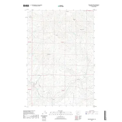 2020 Woolford Creek2020 Print · USGSCowlitz County’s upland peaks and river valleys are captured here as they appeared in 2020. Researchers can trace the rugged drainage of the Kalama River and locate landmarks such as the Lower Kalama River Falls, Monument Peak, and Woolford Mtn.
 - 2020 Map of Hatchet Mountain, 2020 Print
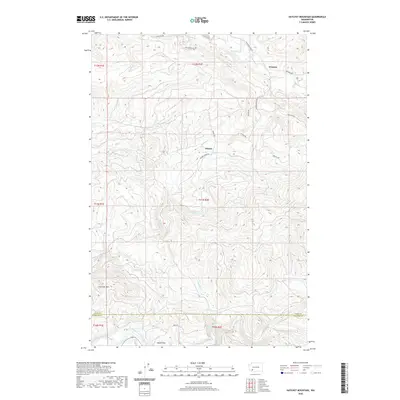 2020 Hatchet Mountain2020 Print · USGSThe Lewis and Cowlitz county borderlands are captured here in the early twenty-first century, showing a region defined by logging roads and river valleys. Researchers can trace the drainages of Salmon Cr and Winston Cr or locate the high point of Hatchet Mtn.
 - 2020 Map of Toutle, 2020 Print
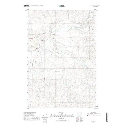 2020 Toutle2020 Print · USGSToutle and the surrounding Cowlitz County river valleys are captured here in the modern era as the landscape continues its long recovery. Local historians can trace the rural routes connecting Sightly and Toutle, locating landmarks like the Coal Bank Bridge and the drainages of Studebaker Cr.
 - 2020 Map of Mount Brynion, 2020 Print
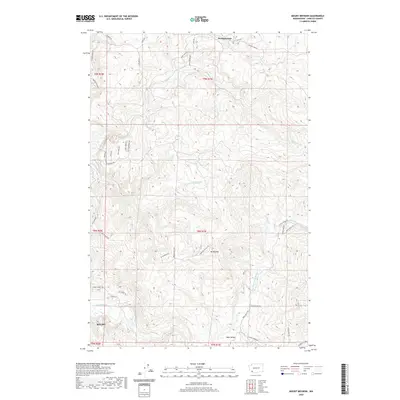 2020 Mount Brynion2020 Print · USGSThe riverside town of Kelso and the surrounding timberlands are captured here in 2020. Researchers can trace the industrial logging roads near Headquarters or locate old rural corridors like Schoolhouse Rd and Rose Valley Rd.
 - 2020 Map of Winlock, 2020 Print
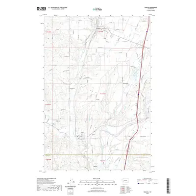 2020 Winlock2020 Print · USGSThe rail-and-river corridor of Lewis County is captured here in detail during the twenty-first century. Researchers can trace the BNSF Railway through Winlock and Vader, or locate family sites near Winlock Cem and Little Falls Cem.
 - 2020 Map of Toledo, 2020 Print
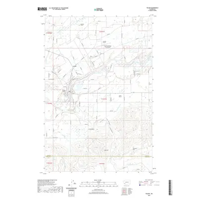 2020 Toledo2020 Print · USGSToledo and the surrounding prairies of Lewis County are documented here as they appeared in 2020. Local researchers can locate family burial sites at Saint Francis Cem and Toledo Cem or trace the winding course of the Cowlitz River past Horseshoe Bend.
 - 2020 Map of Cougar, 2020 Print
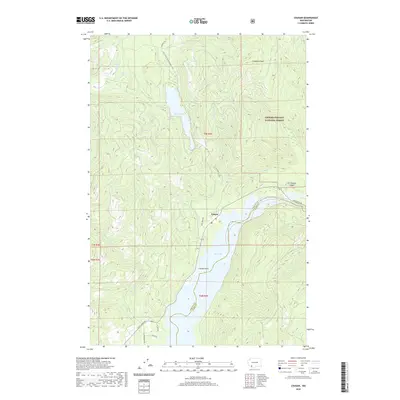 2020 Cougar2020 Print · USGSThe community of Cougar is documented here as it appeared in the early twenty-first century, serving as a vital outpost for the timber and hydro-power lands of the southern Cascades. Researchers can trace forest access routes like Old Lake Merrill Rd to find Merrill Lake, Cooney Point, and the Kalama Falls.
 - 2020 Map of Lakeview Peak, 2020 Print
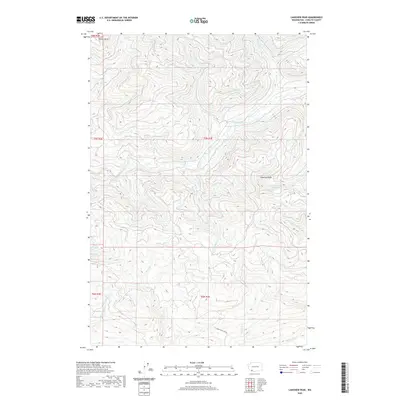 2020 Lakeview Peak2020 Print · USGSCowlitz County’s high timber and river country is meticulously documented in this modern survey. Researchers can trace the headwaters of the Kalama River and identify landmarks like Lakeview Peak, Butler Butte, and Lakeview Peak Lake.
Showing maps 1-25 of 83
Top cities of Cowlitz County
- Longview historical maps
- Kelso historical maps
- Woodland historical maps
- Kalama historical maps
- Castle Rock historical maps
Frequently asked questions
- What are the different types of historical maps available for Cowlitz County?
- What is the oldest map of Cowlitz County?
- Where can I purchase historical maps of Cowlitz County for my home or office?
- Where can I download high-res historical maps of Cowlitz County?
- Are there historical topographic maps available for Cowlitz County?
- Is there historical aerial imagery available for Cowlitz County?
- Where are historical maps of Cowlitz County sourced from?