2020s Maps of King County, Washington
Explore 136 historic maps of King County from the 2020s. These maps offer a rare glimpse into what life looked like during the 2020s — showing old roads, neighborhoods, homes, and landmarks that have changed or disappeared over time.
Whether you're researching your family's past, planning a metal detecting trip, or studying how King County's landscape evolved across the 2020s, these high-resolution maps are a powerful tool for exploring the history of this region.
- Focus on a specific era: All maps on this page are from the 2020s, giving you a focused view of this time period.
- See what’s changed: Compare century-old streets, trails, and buildings to today's modern landscape using overlays and satellite layers.
- Research with precision: Use these maps for genealogy, historical research, land use analysis, or educational projects.
- View, download, or print: Maps are fully viewable online in high resolution, and can be downloaded or printed for your own records.
Start exploring King County's history through authentic maps from the 2020s. This is your window into the past.
King County, WA maps
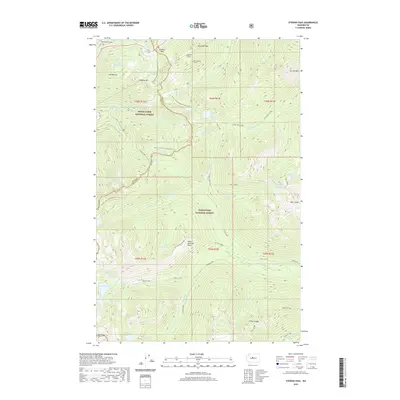
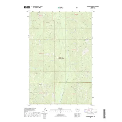
(136)- 2020 Map of Chester Morse Lake, 2020 Print
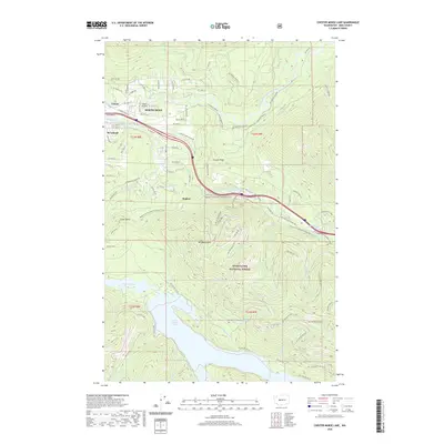 2020 Chester Morse Lake2020 Print · USGSCovers King County, including Riverbend, Tanner, and other nearby areas
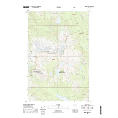
 - 2020 Map of Big Snow Mountain, 2020 Print
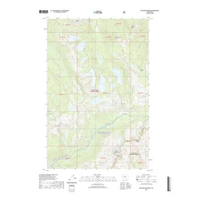 2020 Big Snow Mountain2020 Print · USGSCovers King County, including Kittitas County, United States, and other nearby areas
 - 2020 Map of Lake Joy, 2020 Print
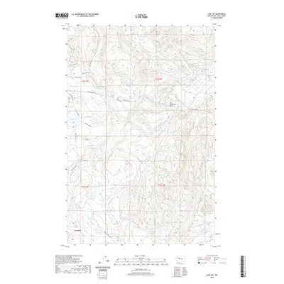 2020 Lake Joy2020 Print · USGSCovers King County, including Carnation, United States, and other nearby areas
 - 2020 Map of Lake Philippa, 2020 Print
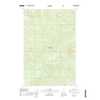 2020 Lake Philippa2020 Print · USGSCovers King County, including United States, Washington, and other nearby areas
 - 2020 Map of Snoqualmie Pass, 2020 Print
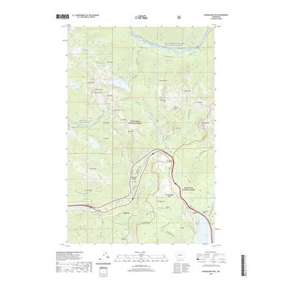 2020 Snoqualmie Pass2020 Print · USGSCovers King County, including Snoqualmie Pass, Hyak, and other nearby areas
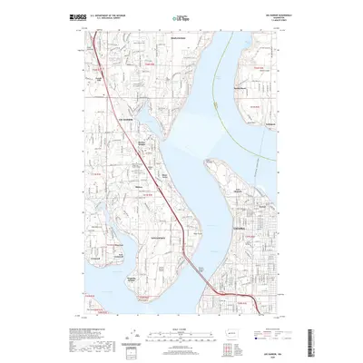
 - 2020 Map of Edmonds East, 2020 Print
 2020 Edmonds East2020 Print · USGSCovers King County, including Shoreline, Edmonds, and other nearby areas
 - 2020 Map of Gold Bar, 2020 Print
 2020 Gold Bar2020 Print · USGSCovers King County, including Gold Bar, Startup, and other nearby areas
 - 2020 Map of Noble Knob, 2020 Print
 2020 Noble Knob2020 Print · USGSCovers King County, including Pierce County, Yakima County, and other nearby areas
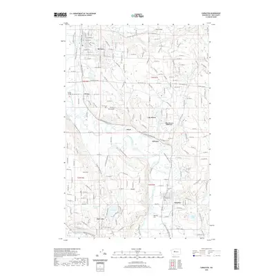
 - 2020 Map of Cumberland, 2020 Print
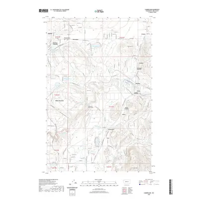 2020 Cumberland2020 Print · USGSCovers King County, including Kent, Black Diamond, and other nearby areas
 - 2020 Map of North Bend, 2020 Print
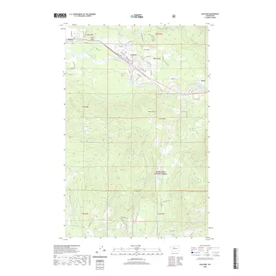
 2020 North Bend2020 Print · USGSCovers King County, including North Bend, Riverbend, and other nearby areas
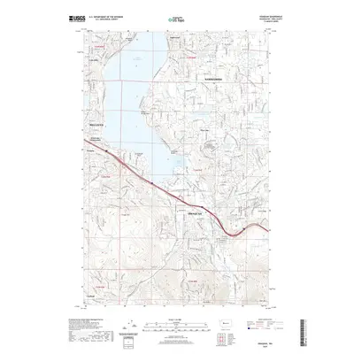
 - 2020 Map of Shilshole Bay, 2020 Print
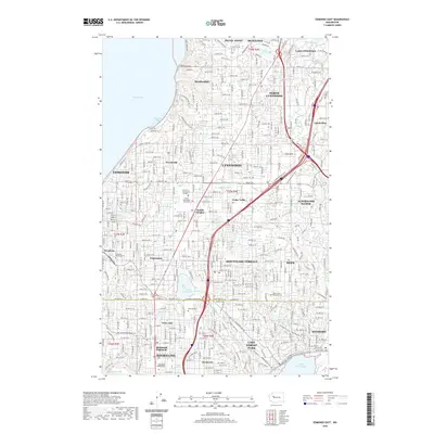
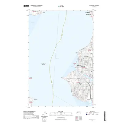 2020 Shilshole Bay2020 Print · USGSCovers King County, including Seattle, Shoreline, and other nearby areas
 - 2020 Map of Devils Slide, 2020 Print
 2020 Devils Slide2020 Print · USGSCovers King County, including United States, Washington, and other nearby areas
 - 2020 Map of Stevens Pass, 2020 Print
 2020 Stevens Pass2020 Print · USGSCovers King County, including Chelan County, United States, and other nearby areas
 - 2020 Map of Renton, 2020 Print
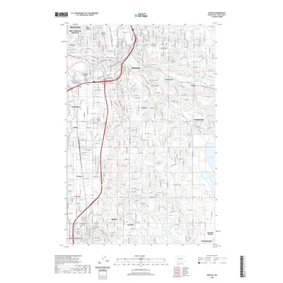 2020 Renton2020 Print · USGSCovers King County, including Seattle, Kent, and other nearby areas
 - 2020 Map of Baring, 2020 Print
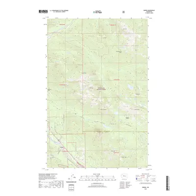 2020 Baring2020 Print · USGSCovers King County, including Baring, Snohomish County, and other nearby areas
 - 2020 Map of Cyclone Creek, 2020 Print
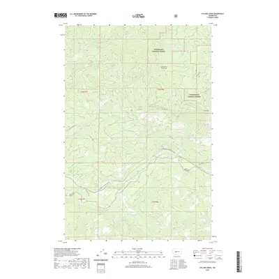 2020 Cyclone Creek2020 Print · USGSCovers King County, including Pierce County, United States, and other nearby areas
 - 2020 Map of Grotto, 2020 Print
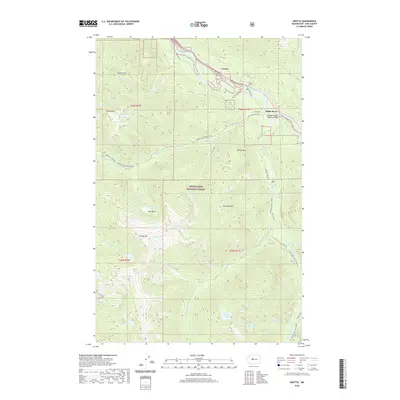 2020 Grotto2020 Print · USGSCovers King County, including Miller River, Grotto, and other nearby areas
 - 2020 Map of Carnation, 2020 Print
 2020 Carnation2020 Print · USGSCovers King County, including Duvall, Carnation, and other nearby areas
 - 2020 Map of Snoqualmie Lake, 2020 Print
 2020 Snoqualmie Lake2020 Print · USGSCovers King County, including United States, Washington, and other nearby areas
 - 2020 Map of Gig Harbor, 2020 Print
 2020 Gig Harbor2020 Print · USGSCovers King County, including Tacoma, Artondale, and other nearby areas
 - 2020 Map of Evergreen Mountain, 2020 Print
 2020 Evergreen Mountain2020 Print · USGSCovers King County, including Snohomish County, United States, and other nearby areas
 - 2020 Map of Mount Daniel, 2020 Print
 2020 Mount Daniel2020 Print · USGSCovers King County, including Kittitas County, United States, and other nearby areas
 - 2020 Map of Issaquah, 2020 Print
 2020 Issaquah2020 Print · USGSCovers King County, including Bellevue, Sammamish, and other nearby areas
 - 2020 Map of Poverty Bay, 2020 Print
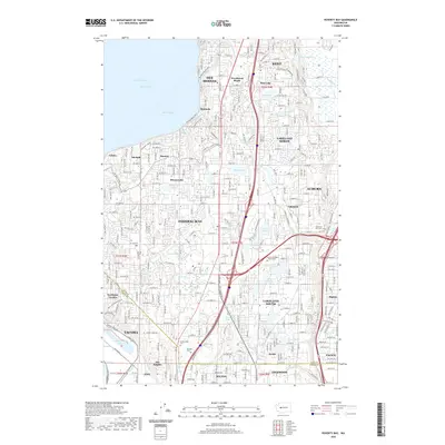 2020 Poverty Bay2020 Print · USGSCovers King County, including Tacoma, Kent, and other nearby areas
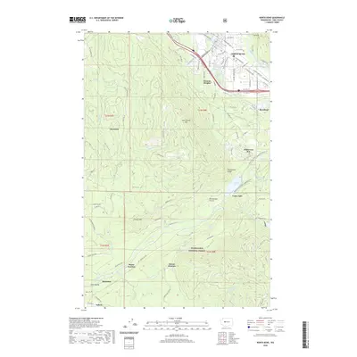
 - 2020 Map of Maltby, 2020 Print
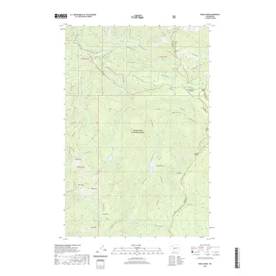
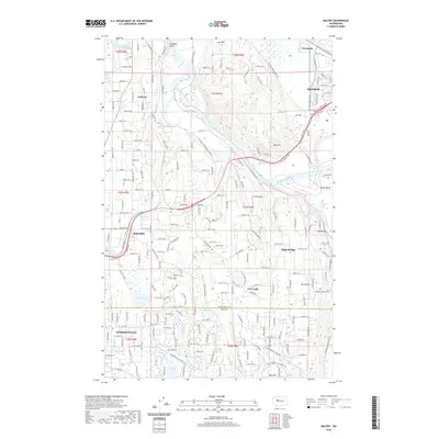 2020 Maltby2020 Print · USGSCovers King County, including Monroe, Woodinville, and other nearby areas
Showing maps 1-25 of 136
Top cities of King County
- Seattle historical maps
- Bellevue historical maps
- Kent historical maps
- Renton historical maps
- Federal Way historical maps
- Kirkland historical maps
See more
Frequently asked questions
- What are the different types of historical maps available for King County?
- What is the oldest map of King County?
- Where can I purchase historical maps of King County for my home or office?
- Where can I download high-res historical maps of King County?
- Are there historical topographic maps available for King County?
- Is there historical aerial imagery available for King County?
- Where are historical maps of King County sourced from?