2010s Maps of King County, Washington
Explore 204 historic maps of King County from the 2010s. These maps offer a rare glimpse into what life looked like during the 2010s — showing old roads, neighborhoods, homes, and landmarks that have changed or disappeared over time.
Whether you're researching your family's past, planning a metal detecting trip, or studying how King County's landscape evolved across the 2010s, these high-resolution maps are a powerful tool for exploring the history of this region.
- Focus on a specific era: All maps on this page are from the 2010s, giving you a focused view of this time period.
- See what’s changed: Compare century-old streets, trails, and buildings to today's modern landscape using overlays and satellite layers.
- Research with precision: Use these maps for genealogy, historical research, land use analysis, or educational projects.
- View, download, or print: Maps are fully viewable online in high resolution, and can be downloaded or printed for your own records.
Start exploring King County's history through authentic maps from the 2010s. This is your window into the past.
King County, WA maps
(204)- 2011 Map of Olalla, 2011 Print
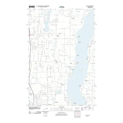 2011 Olalla2011 Print · USGSCoastal life along Colvos Passage is documented in the early twenty-first century, showing the established communities of Kitsap County. Genealogists can locate family landmarks like Fraola Cemetery or trace the development of Olalla, Banner, and Fragaria.
 - 2011 Map of Maple Valley, 2011 Print
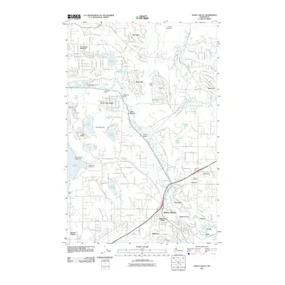 2011 Maple Valley2011 Print · USGSThe Cedar River valley in the early twenty-first century reveals a landscape shaped by coal mining and growing residential communities. Genealogists and local historians can locate the Maple Valley Hobart Cemetery, trace old mining sites like the Indian Coal Mine, and explore established settlements such as Dorre Don.
 - 2011 Map of Poverty Bay, 2011 Print
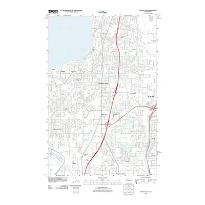 2011 Poverty Bay2011 Print · USGSThe Puget Sound corridor between Tacoma and Auburn is captured here in the early twenty-first century as suburban development surrounds a network of glacial lakes. Researchers can trace local landmarks like Auburn Cemetery, the Weyerhaeuser Dam, and the waterfront at Redondo.
 - 2011 Map of Auburn, 2011 Print
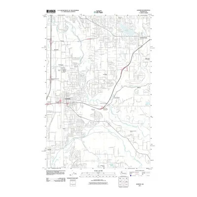 2011 Auburn2011 Print · USGSKing County settlements like Auburn and Stuck are shown at a peak of suburban development in the early twenty-first century. Genealogists and local historians can locate Suise Creek Cemetery, the Green River State Salmon Hatchery, and landmarks like Emerald Downs.
 - 2011 Map of Duwamish Head, 2011 Print
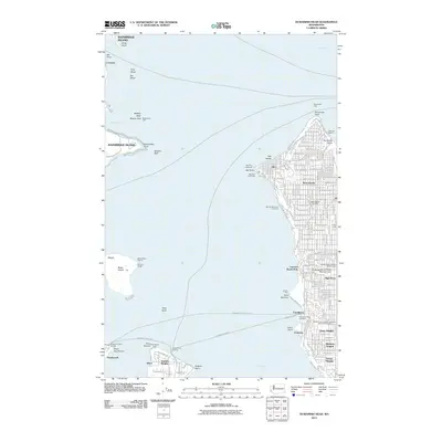 2011 Duwamish Head2011 Print · USGSThe West Seattle shoreline and the waters of the East Passage are captured here in the early 21st century. Trace the maritime networks connecting Vashon Heights and Southworth via the Fauntleroy Ferry Landing.
 - 2011 Map of Seattle North, 2011 Print
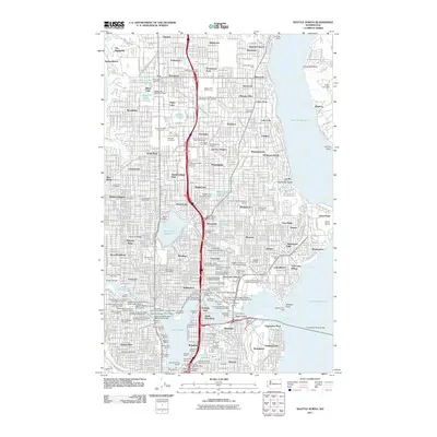 2011 Seattle North2011 Print · USGSNorth Seattle is shown in great detail at the start of the 2010s, from the shores of Lake Washington to the Puget Sound heights. Trace urban development through major landmarks like University of Washington, Washelli Cemetery, and the Woodland Park Zoo.
 - 2011 Map of Gig Harbor, 2011 Print
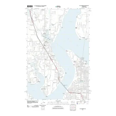 2011 Gig Harbor2011 Print · USGSThe maritime communities of the Kitsap Peninsula and the industrial edges of Tacoma are shown here during a period of modern growth. Researchers can trace historic ferry routes at Tahlequah Ferry Landing or explore industrial landmarks like the Tacoma Smelter and Fort Nisqually.
 - 2011 Map of Buckley, 2011 Print
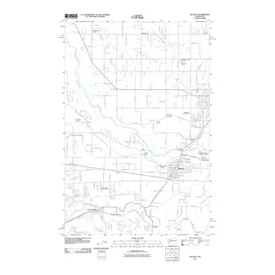 2011 Buckley2011 Print · USGSSettlements along the White River valley are captured in detail during this era of modern development and tribal conservation. Genealogists can locate family names at Buckley Cemetery or Holy Cross Cemetery, while tracing old routes through Cascade Junction and Burnett.
 - 2011 Map of Renton, 2011 Print
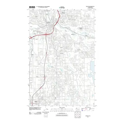 2011 Renton2011 Print · USGSThe Green River Valley's industrial and residential centers of Renton and Kent are shown here at the start of the 2010s. Researchers can trace local heritage through sites like Saar Pioneer Cemetery and the Will Rogers Wiley Post Meml Seaplane Base.
 - 2011 Map of Black Diamond, 2011 Print
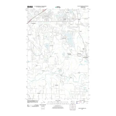 2011 Black Diamond2011 Print · USGSKing County's coal-mining and timber heartland is shown in this early 2010s survey during a period of modern residential growth. Researchers can trace the Abandoned Railroad and locate local landmarks like the Black Diamond Cemetery or the Whitney Bridge.
 - 2011 Map of Redmond, 2011 Print
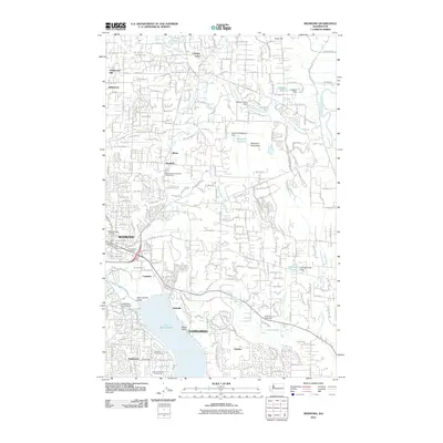 2011 Redmond2011 Print · USGSThe Eastside suburbs of Redmond and Sammamish show significant residential growth and recreational development during the early twenty-first century. Researchers can trace the layout of neighborhoods like Hollywood Hill, explore the Redmond Watershed, and locate lakeside points like Sammamish Landing at 520.
 - 2011 Map of Seattle South, 2011 Print
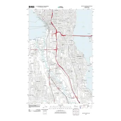 2011 Seattle South2011 Print · USGSGreater Seattle at the start of the 2010s shows a landscape of deep-water industry and thriving urban neighborhoods. Researchers can trace the development of the Duwamish Waterway or locate local landmarks like Forest Lawn Cemetery and the Columbia Post Office.
 - 2011 Map of Edmonds East, 2011 Print
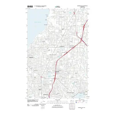 2011 Edmonds East2011 Print · USGSSnohomish and King County suburbs are captured in high detail during the early 2010s. Researchers can trace the path of the Interurban Trail or locate family sites at Holyrood Cemetery and Abbey View Memorial Park.
 - 2011 Map of Stevens Pass, 2011 Print
 2011 Stevens Pass2011 Print · USGSStevens Pass at the start of the decade showcases the vital rail infrastructure and high-country recreation hubs of the Washington Cascades. Hikers and historians can trace the Pacific Crest Trailhead and the engineering of the New Cascade Tunnel alongside remote sites like Bark Cabin.
 - 2011 Map of Greenwater, 2011 Print
 2011 Greenwater2011 Print · USGSThe mountain settlements of King County are documented here in the early 2000s at the meeting of two major rivers. Trace the forest road networks and small outposts like Humphrey, Maywood, and the riverfront community of Greenwater near Deadman Flat.
 - 2011 Map of Baring, 2011 Print
 2011 Baring2011 Print · USGSBaring and its mountain surroundings are captured here in the early twenty-first century, showing the town at the meeting of the Skykomish forks. Researchers can trace forest access roads to local landmarks like the Sunset Mine, Barclay Lake, and Baring Mountain.
 - 2011 Map of Grotto, 2011 Print
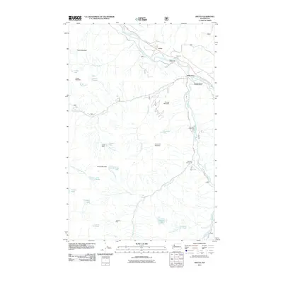 2011 Grotto2011 Print · USGSThe high peaks and river valleys of King County are detailed here in the early twenty-first century. Researchers can trace the routes of the Old Cascade Hwy, locate the Cleopatra Mine, and find recreation sites like Miller River Campground.
 - 2011 Map of Snoqualmie Lake, 2011 Print
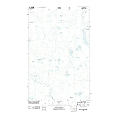 2011 Snoqualmie Lake2011 Print · USGSThe high Cascades of King County come into focus in the early twenty-first century, showing a wilderness defined by alpine water and steep ridges. Trace the heights of Garfield Mountain and Mount Price, or locate the waters of Lake Dorothy and Camp Robber Valley.
 - 2011 Map of The Cradle, 2011 Print
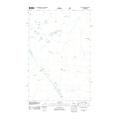 2011 The Cradle2011 Print · USGSThe Cascades wilderness comes into sharp focus during the early twenty-first century, documenting the glacial basins and alpine passes of the Cle Elum River headwaters. Trace the routes through Paddy-Go-Easy Pass and locate remote sites like Klonaqua Lake Dam or Tucquala Meadow Campground.
 - 2011 Map of Gold Bar, 2011 Print
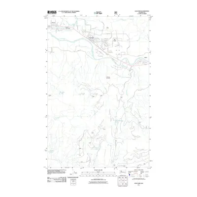 2011 Gold Bar2011 Print · USGSThe river valleys of Snohomish County are documented here in the early twenty-first century as the corridor from Startup to Reiter matured. Researchers can trace local landmarks like Camp Huston, the Wallace River Bridge, and several alpine lakes including Little Cavanaugh Lake.
 - 2011 Map of Captain Point, 2011 Print
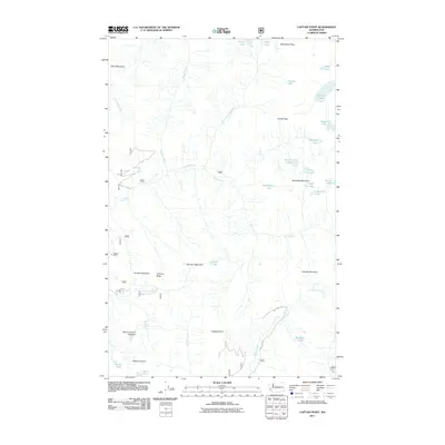 2011 Captain Point2011 Print · USGSThe high Cascades of King County are documented here in the early 2000s, showing a landscape defined by alpine peaks and glacial lakes. Researchers can trace the rugged drainage of the Rapid River and locate remote features like Wenatchee Pass and Grizzly Peak.
 - 2011 Map of Evergreen Mountain, 2011 Print
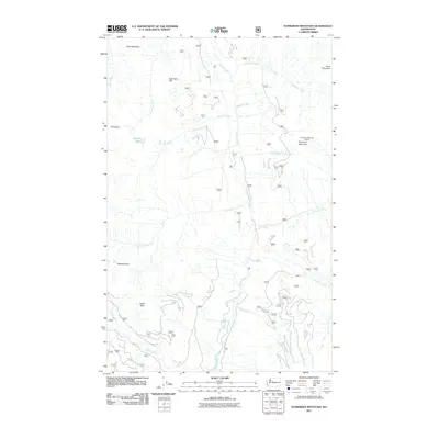 2011 Evergreen Mountain2011 Print · USGSThe high Cascades of Washington are captured here in the early twenty-first century as they are managed by the Forest Service. Outdoorsmen and researchers can trace the roads leading to Evergreen Mountain Lookout, Boulder Lake, and the junction of the Rapid River.
 - 2011 Map of Cougar Mountain, 2011 Print
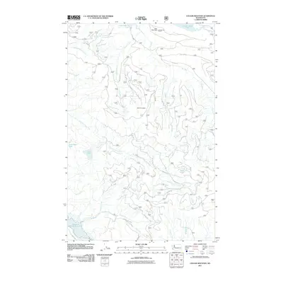 2011 Cougar Mountain2011 Print · USGSIn the central Cascades during the early twenty-first century, this map documents a vital watershed shaped by timber management and water storage. Researchers can trace forest service networks like NFD 5140 RD between the Howard A Hanson Reservoir and Little Mountain Lookout.
 - 2011 Map of North Bend, 2011 Print
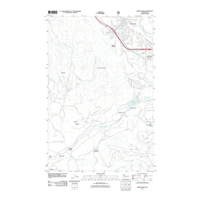 2011 North Bend2011 Print · USGSNorth Bend and the Snoqualmie river forks are captured here during the early twenty-first century as suburban growth met the Cascade foothills. Researchers can trace historic industrial sites like Snoose Junction and the infrastructure at Chester-Morse Lake.
 - 2011 Map of Bandera, 2011 Print
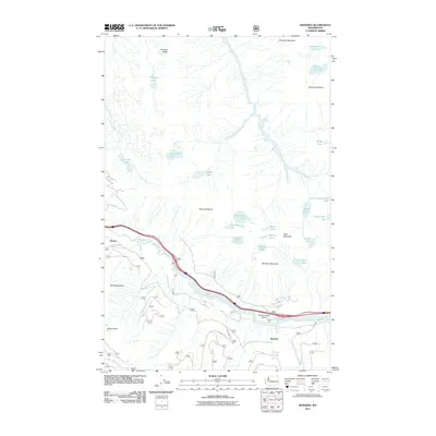 2011 Bandera2011 Print · USGSThe high Cascades of King County are captured here in the early twenty-first century, showing the narrow transit corridor along the South Fork Snoqualmie River. Trace the access to remote landmarks like Bandera State Airport, McClellan Butte, and the waters of Mason Lake.
Showing maps 1-25 of 204
Top cities of King County
- Seattle historical maps
- Bellevue historical maps
- Kent historical maps
- Renton historical maps
- Federal Way historical maps
- Kirkland historical maps
See more
Frequently asked questions
- What are the different types of historical maps available for King County?
- What is the oldest map of King County?
- Where can I purchase historical maps of King County for my home or office?
- Where can I download high-res historical maps of King County?
- Are there historical topographic maps available for King County?
- Is there historical aerial imagery available for King County?
- Where are historical maps of King County sourced from?