2000s (21st Century) Maps of King County, Washington
Explore 341 historic maps of King County from the 2000s (21st Century). These maps offer a rare glimpse into what life looked like during the 2000s — showing old roads, neighborhoods, homes, and landmarks that have changed or disappeared over time.
Whether you're researching your family's past, planning a metal detecting trip, or studying how King County's landscape evolved across the 2000s, these high-resolution maps are a powerful tool for exploring the history of this region.
- Focus on a specific era: All maps on this page are from the 2000s, giving you a focused view of this time period.
- See what’s changed: Compare century-old streets, trails, and buildings to today's modern landscape using overlays and satellite layers.
- Research with precision: Use these maps for genealogy, historical research, land use analysis, or educational projects.
- View, download, or print: Maps are fully viewable online in high resolution, and can be downloaded or printed for your own records.
Start exploring King County's history through authentic maps from the 2000s. This is your window into the past.
King County, WA maps
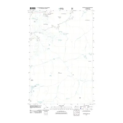
(341)- 2003 Map of The Cradle, 2006 Print
 2003 The Cradle2006 Print · USGSThe high Cascades at the turn of the millennium are captured here, centered on the rugged peaks and glacial basins of the ALPINE LAKES WILDERNESS. Hikers and historians can trace routes through Paddy-Go-Easy Pass and identify remote landmarks like the Fish Lake Guard Station and The Cradle.
 - 2011 Map of Olalla, 2011 Print
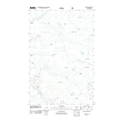
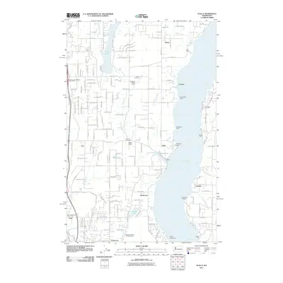 2011 Olalla2011 Print · USGSCovers King County, including Banner, Olalla, and other nearby areas
 - 2011 Map of Maple Valley, 2011 Print
 2011 Maple Valley2011 Print · USGSCovers King County, including Renton, Maple Valley, and other nearby areas
 - 2011 Map of Poverty Bay, 2011 Print
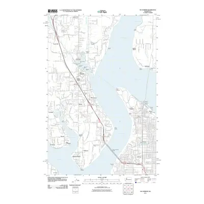
 2011 Poverty Bay2011 Print · USGSCovers King County, including Tacoma, Kent, and other nearby areas
 - 2011 Map of Auburn, 2011 Print
 2011 Auburn2011 Print · USGSCovers King County, including Kent, Auburn, and other nearby areas
 - 2011 Map of Duwamish Head, 2011 Print
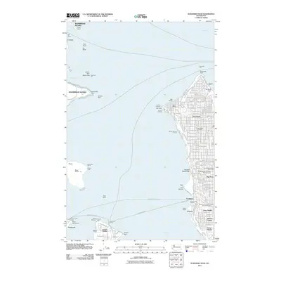 2011 Duwamish Head2011 Print · USGSCovers King County, including Seattle, Bainbridge Island, and other nearby areas
 - 2011 Map of Seattle North, 2011 Print
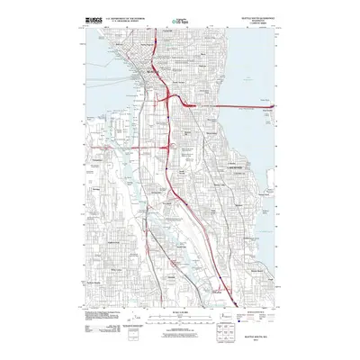
 2011 Seattle North2011 Print · USGSCovers King County, including Seattle, Kirkland, and other nearby areas
 - 2011 Map of Gig Harbor, 2011 Print
 2011 Gig Harbor2011 Print · USGSCovers King County, including Tacoma, Artondale, and other nearby areas
 - 2011 Map of Buckley, 2011 Print
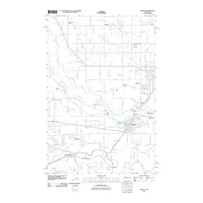 2011 Buckley2011 Print · USGSCovers King County, including Bonney Lake, Enumclaw, and other nearby areas
 - 2011 Map of Renton, 2011 Print
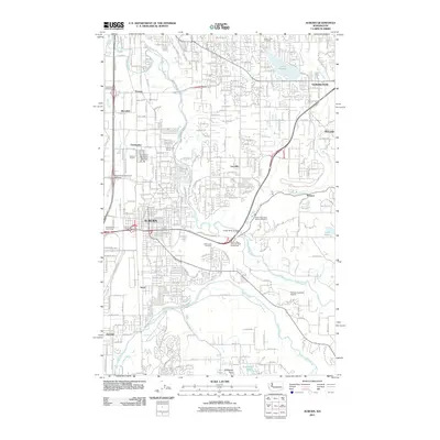
 2011 Renton2011 Print · USGSCovers King County, including Seattle, Kent, and other nearby areas
 - 2011 Map of Black Diamond, 2011 Print
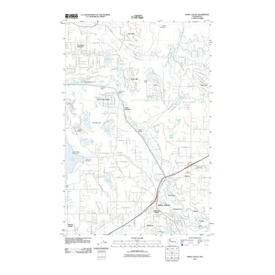
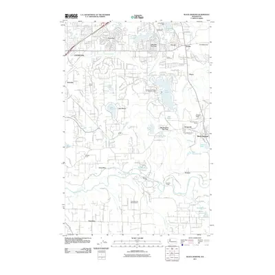 2011 Black Diamond2011 Print · USGSCovers King County, including Kent, Maple Valley, and other nearby areas
 - 2011 Map of Redmond, 2011 Print
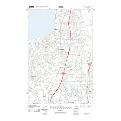
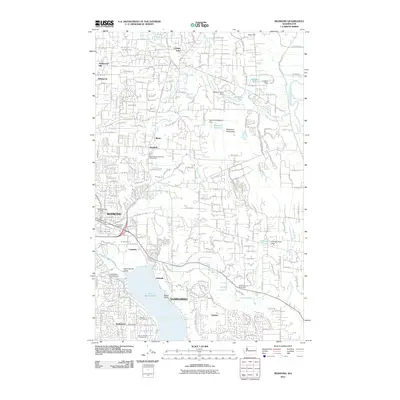 2011 Redmond2011 Print · USGSCovers King County, including Bellevue, Redmond, and other nearby areas
 - 2011 Map of Seattle South, 2011 Print
 2011 Seattle South2011 Print · USGSCovers King County, including Seattle, Burien, and other nearby areas
 - 2011 Map of Edmonds East, 2011 Print
 2011 Edmonds East2011 Print · USGSCovers King County, including Shoreline, Edmonds, and other nearby areas
 - 2011 Map of Stevens Pass, 2011 Print
 2011 Stevens Pass2011 Print · USGSCovers King County, including Chelan County, United States, and other nearby areas
 - 2011 Map of Greenwater, 2011 Print
 2011 Greenwater2011 Print · USGSCovers King County, including Greenwater, Pierce County, and other nearby areas
 - 2011 Map of Baring, 2011 Print
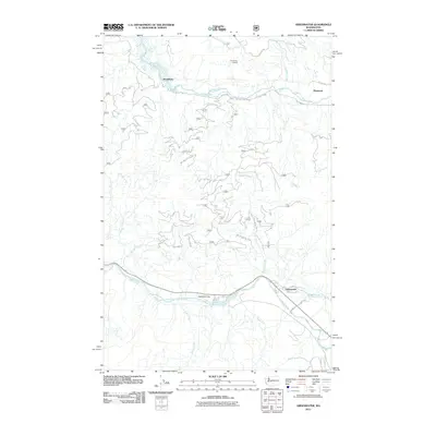
 2011 Baring2011 Print · USGSCovers King County, including Baring, Snohomish County, and other nearby areas
 - 2011 Map of Grotto, 2011 Print
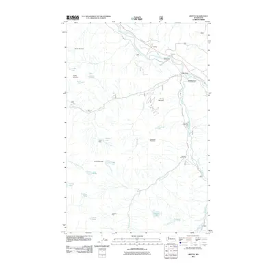 2011 Grotto2011 Print · USGSCovers King County, including Miller River, Grotto, and other nearby areas
 - 2011 Map of Snoqualmie Lake, 2011 Print
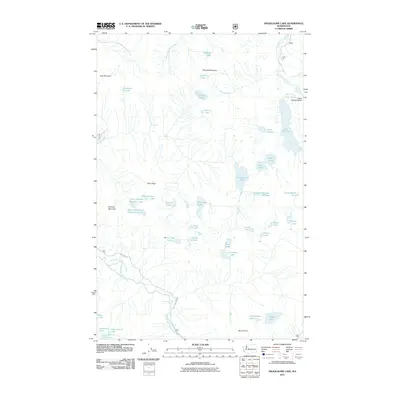 2011 Snoqualmie Lake2011 Print · USGSCovers King County, including United States, Washington, and other nearby areas
 - 2011 Map of The Cradle, 2011 Print
 2011 The Cradle2011 Print · USGSCovers King County, including Chelan County, Kittitas County, and other nearby areas
 - 2011 Map of Gold Bar, 2011 Print
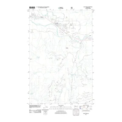 2011 Gold Bar2011 Print · USGSCovers King County, including Gold Bar, Startup, and other nearby areas
 - 2011 Map of Captain Point, 2011 Print
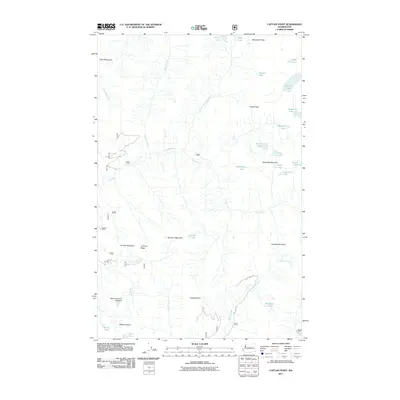 2011 Captain Point2011 Print · USGSCovers King County, including Snohomish County, Chelan County, and other nearby areas
 - 2011 Map of Evergreen Mountain, 2011 Print
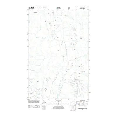 2011 Evergreen Mountain2011 Print · USGSCovers King County, including Snohomish County, United States, and other nearby areas
 - 2011 Map of Cougar Mountain, 2011 Print
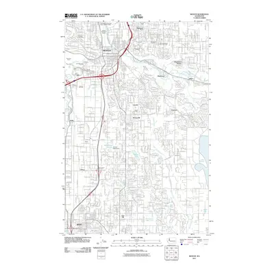
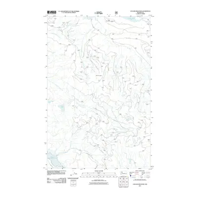 2011 Cougar Mountain2011 Print · USGSCovers King County, including United States, Washington, and other nearby areas
 - 2011 Map of North Bend, 2011 Print
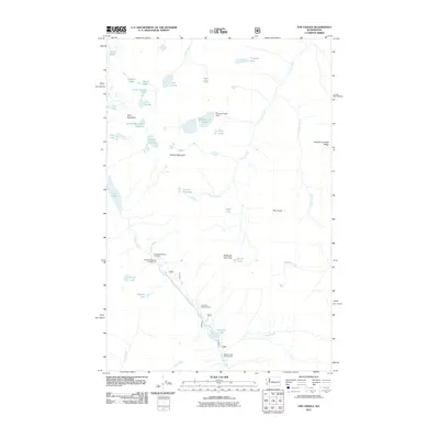
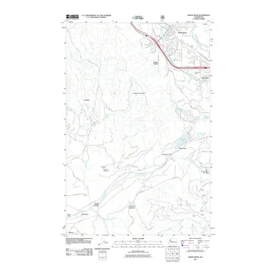 2011 North Bend2011 Print · USGSCovers King County, including North Bend, Riverbend, and other nearby areas
Showing maps 1-25 of 341
Top cities of King County
- Seattle historical maps
- Bellevue historical maps
- Kent historical maps
- Renton historical maps
- Federal Way historical maps
- Kirkland historical maps
See more
Frequently asked questions
- What are the different types of historical maps available for King County?
- What is the oldest map of King County?
- Where can I purchase historical maps of King County for my home or office?
- Where can I download high-res historical maps of King County?
- Are there historical topographic maps available for King County?
- Is there historical aerial imagery available for King County?
- Where are historical maps of King County sourced from?