2020s Maps of Pierce County, Washington
Explore 110 historic maps of Pierce County from the 2020s. These maps offer a rare glimpse into what life looked like during the 2020s — showing old roads, neighborhoods, homes, and landmarks that have changed or disappeared over time.
Whether you're researching your family's past, planning a metal detecting trip, or studying how Pierce County's landscape evolved across the 2020s, these high-resolution maps are a powerful tool for exploring the history of this region.
- Focus on a specific era: All maps on this page are from the 2020s, giving you a focused view of this time period.
- See what’s changed: Compare century-old streets, trails, and buildings to today's modern landscape using overlays and satellite layers.
- Research with precision: Use these maps for genealogy, historical research, land use analysis, or educational projects.
- View, download, or print: Maps are fully viewable online in high resolution, and can be downloaded or printed for your own records.
Start exploring Pierce County's history through authentic maps from the 2020s. This is your window into the past.
Pierce County, WA maps
(110)- 2020 Map of Elbe, 2020 Print
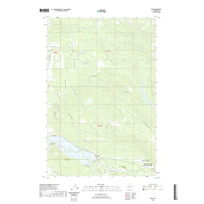 2020 Elbe2020 Print · USGSNear the entrance to the Cascades in the early twenty-first century, this area centers on the riverfront community of Elbe. Genealogists and historians can trace local routes like Mineral Hill Rd and explore the shoreline of Alder Lake near the Nisqually River.
 - 2020 Map of Mount Rainier West, 2020 Print
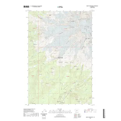 2020 Mount Rainier West2020 Print · USGSMount Rainier's western slopes and glacial headwaters are captured here in the contemporary era. Trace the historic Wonderland Trail as it passes through Longmire and skirts high-elevation features like Saint Andrews Lake and Narada Falls.
 - 2020 Map of Sunrise, 2020 Print
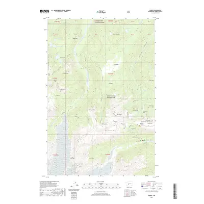 2020 Sunrise2020 Print · USGSMount Rainier's northeast slopes are captured here in the modern era, centered on the high meadows of Yakima Park and the Sunrise visitor area. Hikers and historians can trace the iconic Wonderland trail as it winds past Frozen Lake and the massive Emmons Glacier.
 - 2020 Map of Lake Kapowsin, 2020 Print
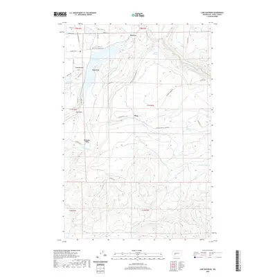 2020 Lake Kapowsin2020 Print · USGSThe Lake Kapowsin area in the early 21st century remains defined by its deep-rooted timber and power-generation infrastructure. Genealogists and local historians can trace the geography of established communities like Kapowsin and Electron or find recreational landmarks such as Voss Resort.
 - 2020 Map of Norse Peak, 2020 Print
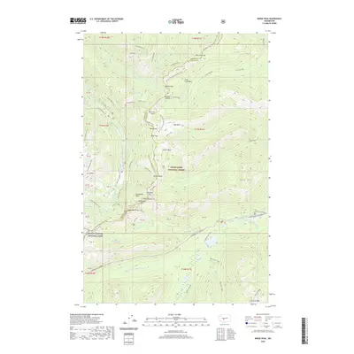 2020 Norse Peak2020 Print · USGSThe high Cascades at the border of Pierce and Yakima counties are captured here in the early twenty-first century. Hikers and historians can trace the Pacific Crest National Scenic Trail past landmarks like Norse Peak and Bullion Basin.
 - 2020 Map of Mount Wow, 2020 Print
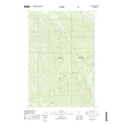 2020 Mount Wow2020 Print · USGSMount Rainier's western wilderness and the high ridges of Pierce County are captured here in the early twenty-first century. Hikers and historians can trace the iconic Wonderland Trail as it passes Kapatche Point or locate remote high-altitude landmarks like Gobblers Knob and Lake Christine.
 - 2020 Map of McKenna, 2020 Print
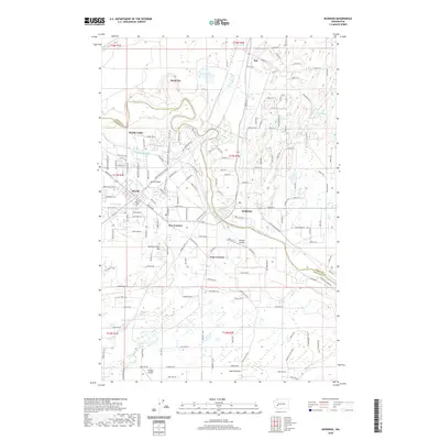 2020 McKenna2020 Print · USGSThe Nisqually River valley and Yelm Prairie are captured here during a period of modern growth and aviation development. Genealogists can trace family footprints across Yelm, McKenna, and Mock City or locate rural landmarks like Hammersmith Hill.
 - 2020 Map of Cougar Lake, 2020 Print
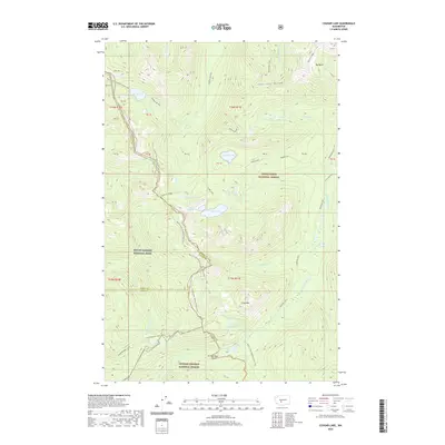 2020 Cougar Lake2020 Print · USGSThe high Cascade crest comes into focus in 2020 at the meeting point of three Washington counties and three major protected forests. Trace the iconic Pacific Crest National Scenic Trail as it bypasses Dewey Lake, Cougar Lake, and Crag Mtn.
 - 2020 Map of Tenalquot Prairie, 2020 Print
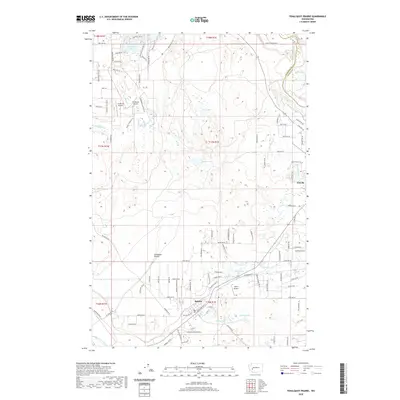 2020 Tenalquot Prairie2020 Print · USGSThe Tenalquot Prairie region south of the Puget Sound is captured here in a period of rural development and residential growth. Genealogists and local historians can trace the roads around Rainier or locate landmarks like Taylor Airport and Lake Saint Clair.
 - 2020 Map of Tanwax Lake, 2020 Print
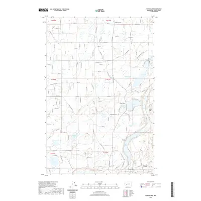 2020 Tanwax Lake2020 Print · USGSPierce County’s lake-strewn basin south of Graham is captured in this modern survey of the region’s complex hydrology and rural communities. You can trace family roots at Rainier Cem or explore the geography of settlements like Clay City and Eatonville.
 - 2020 Map of Bald Hill, 2020 Print
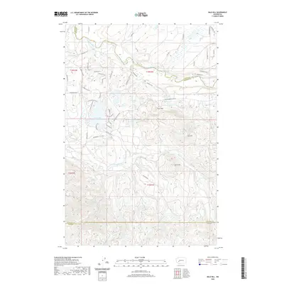 2020 Bald Hill2020 Print · USGSPierce and Thurston counties are captured here in the 2020s, showing a landscape shaped by timber interests and lakefront living. Researchers can trace modern access roads to natural landmarks like Deschutes Falls, Fossil Rock, and the uplan Bald Hill.
 - 2020 Map of Anderson Lake, 2020 Print
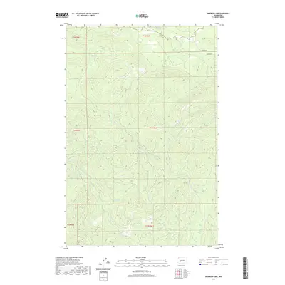 2020 Anderson Lake2020 Print · USGSPierce and Lewis Counties are captured here in the recent decade, showing a landscape defined by high-elevation water bodies and timber-country terrain. Researchers can trace the drainages of the N Fork Mineral Cr and find the National Mill Pond along the Nisqually River.
 - 2020 Map of Chinook Pass, 2020 Print
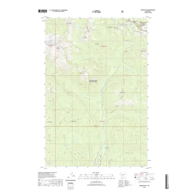 2020 Chinook Pass2020 Print · USGSThe high Cascade crest at Chinook Pass and Cayuse Pass is captured here in modern detail. Hikers and historians can trace the paths of the Pacific Crest National Scenic Trail and Wonderland Trail past Cedar Flats and the Cowlitz Chimneys.
 - 2020 Map of Harts Lake, 2020 Print
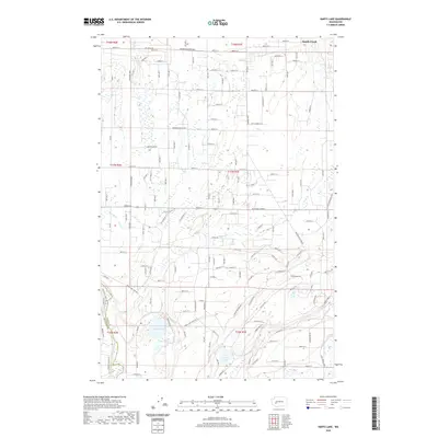 2020 Harts Lake2020 Print · USGSPierce County’s rural lake country is captured here during the recent decade, showing the evolving landscape between the Nisqually River and South Creek. Local historians can trace property access via Anderson Brandt Rd S or explore the wetlands around Harts Lake and Tule Lake.
 - 2020 Map of White River Park, 2020 Print
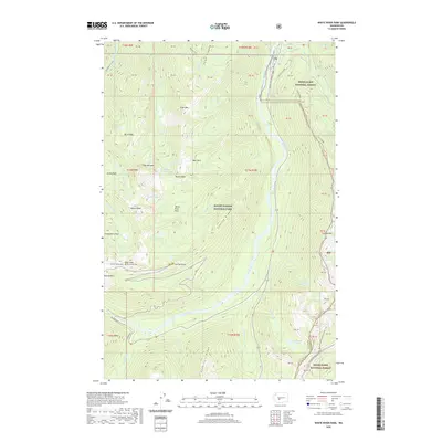 2020 White River Park2020 Print · USGSThe high Cascades of Pierce County are mapped here in the modern era as they transition from glacial valleys to alpine peaks. Backcountry enthusiasts can trace the intersection of the Pacific Crest National Scenic Trail and the Wonderland Trail near Sunrise Point.
 - 2020 Map of Ashford, 2020 Print
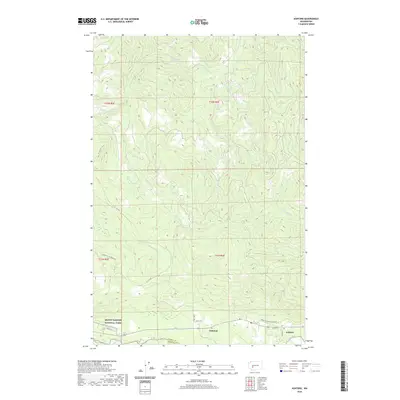 2020 Ashford2020 Print · USGSNear the entrance to the mountain wilderness, this 2020 survey shows the settlements of Ashford and National along the Nisqually River. Researchers can trace the modern road network and river drainages like Busy Wild Cr and the Mashel River.
 - 2020 Map of Mowich Lake, 2020 Print
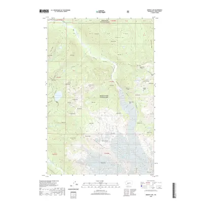 2020 Mowich Lake2020 Print · USGSMount Rainier's northwestern backcountry comes into focus in this modern survey of Pierce County. Backpackers and researchers can trace the legendary Wonderland trail as it passes Mowich Lake and landmarks like Eagle Cliff and Ipsut Falls.
 - 2020 Map of Mount Rainier East, 2020 Print
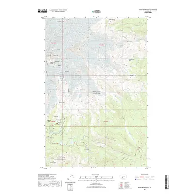 2020 Mount Rainier East2020 Print · USGSMount Rainier's eastern alpine reaches are documented here during the modern era of the national park. Researchers can trace the high-altitude Wonderland Trail across Stevens Ridge or locate mountaineering landmarks like Camp Muir Saddle and Little Tahoma Peak.
 - 2020 Map of Le Dout Creek, 2020 Print
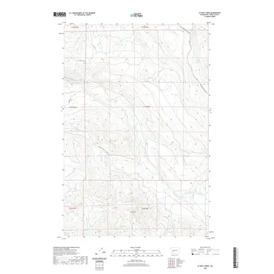 2020 Le Dout Creek2020 Print · USGSPierce County’s timber and hydroelectric corridors are documented in this recent survey of the Cascades foothills. Researchers can trace the industrial Electron Flume or follow the paths of the Mowich Section Rd and the Puyallup River.
 - 2020 Map of Frederickson, 2020 Print
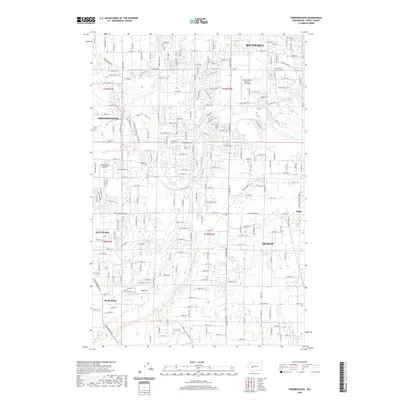 2020 Frederickson2020 Print · USGSPierce County undergoes significant suburban expansion in the early twenty-first century as new neighborhoods spread across the South Hill plateau. Researchers can trace the modern layout of Frederickson and Graham alongside landmarks like Thun Field and Jones Pit.
 - 2020 Map of Noble Knob, 2020 Print
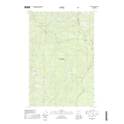 2020 Noble Knob2020 Print · USGSThe high Cascades at the intersection of four counties come alive in the 2020s, showing a landscape defined by historic mountain passes and alpine trails. Trace the routes of early travelers through Naches Pass and Government Meadow, or locate the high-country waters of Lost Lake and Echo Lake.
 - 2020 Map of Bearhead Mountain, 2020 Print
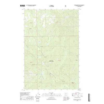 2020 Bearhead Mountain2020 Print · USGSPierce County’s high-altitude wilderness is captured in the modern era within the Snoqualmie National Forest. Hikers and historians can trace the paths of the Clearwater Trail and Bearhead Trail past landmarks like Rooster Comb and Summit Lake.
 - 2020 Map of Wilkeson, 2020 Print
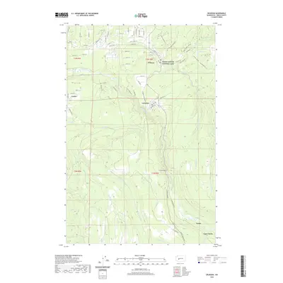 2020 Wilkeson2020 Print · USGSPierce County settlements and the northwest corner of the national park are shown here in modern detail. Researchers can trace the riverfront development of Carbonado and Wilkeson or locate the historic river crossing at the Fairfax Bridge.
 - 2020 Map of Puyallup, 2020 Print
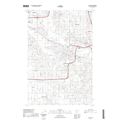 2020 Puyallup2020 Print · USGSPierce County’s river valleys and rising residential benches are shown here during a period of modern growth and suburban expansion. Genealogists and local historians can locate several burial grounds like Sumner Cem and Woodbine Cem, or trace the industrial corridors along Fife.
 - 2020 Map of Cyclone Creek, 2020 Print
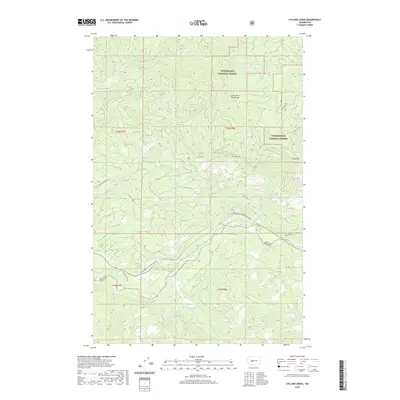 2020 Cyclone Creek2020 Print · USGSUpper King and Pierce counties are documented here in the early twenty-first century, showing a landscape defined by industrial forestry and protected watersheds. Researchers can trace historical access along Bridge Camp Rd and locate landmarks like Grass Mtn or the remote Stink Lake.
Showing maps 1-25 of 110
Top cities of Pierce County
- Tacoma historical maps
- South Hill historical maps
- Lakewood historical maps
- Puyallup historical maps
- Parkland historical maps
- Spanaway historical maps
See more
Frequently asked questions
- What are the different types of historical maps available for Pierce County?
- What is the oldest map of Pierce County?
- Where can I purchase historical maps of Pierce County for my home or office?
- Where can I download high-res historical maps of Pierce County?
- Are there historical topographic maps available for Pierce County?
- Is there historical aerial imagery available for Pierce County?
- Where are historical maps of Pierce County sourced from?