2020s Maps of Hampshire County, West Virginia
Explore 22 historic maps of Hampshire County from the 2020s. These maps offer a rare glimpse into what life looked like during the 2020s — showing old roads, neighborhoods, homes, and landmarks that have changed or disappeared over time.
Whether you're researching your family's past, planning a metal detecting trip, or studying how Hampshire County's landscape evolved across the 2020s, these high-resolution maps are a powerful tool for exploring the history of this region.
- Focus on a specific era: All maps on this page are from the 2020s, giving you a focused view of this time period.
- See what’s changed: Compare century-old streets, trails, and buildings to today's modern landscape using overlays and satellite layers.
- Research with precision: Use these maps for genealogy, historical research, land use analysis, or educational projects.
- View, download, or print: Maps are fully viewable online in high resolution, and can be downloaded or printed for your own records.
Start exploring Hampshire County's history through authentic maps from the 2020s. This is your window into the past.
Hampshire County, WV maps
(22)- 2022 Map of Gore, 2022 Print
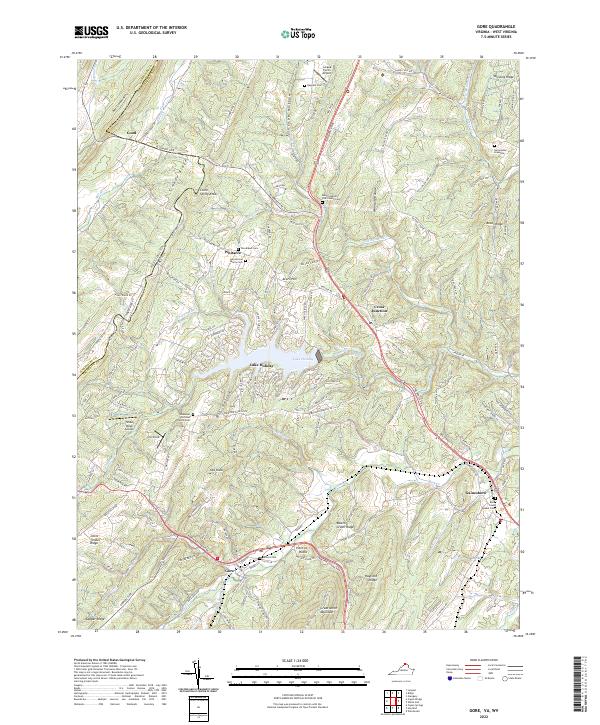 2022 Gore2022 Print · USGSGore and the surrounding Frederick County ridges appear in this recent survey during a period of modern residential growth around Lake Holiday. Genealogists can locate family burial sites including Heironimus Gravesite and Seibert Cemetery, or trace the old paths of Northwestern Pike through Gore.
 - 2022 Map of Mountain Falls, 2022 Print
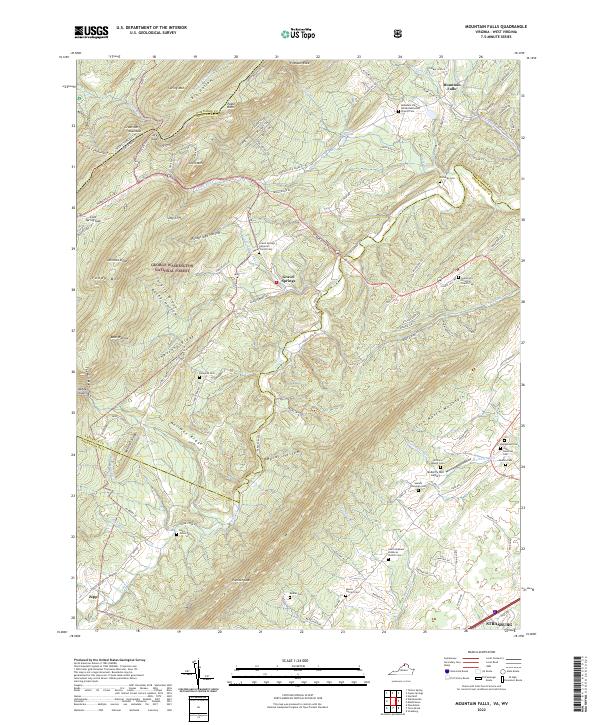 2022 Mountain Falls2022 Print · USGSThe Virginia and West Virginia borderlands are shown here in the early twenty-first century as a landscape of rural settlements and protected forest. Genealogists can trace family footprints across numerous sites like Richards Cem, Gravel Springs, and the Mulberry Run Cem.
 - 2023 Map of Baker, 2023 Print
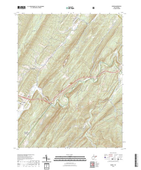 2023 Baker2023 Print · USGSHardy County at the dawn of the 2020s shows a landscape of deep valleys and enduring mountain hamlets. Genealogists and hikers can trace family-named springs and settlements from Arkansas to Baughman Settlement or follow the Lost River through the gap at Hanging Rock.
 - 2023 Map of Capon Bridge, 2023 Print
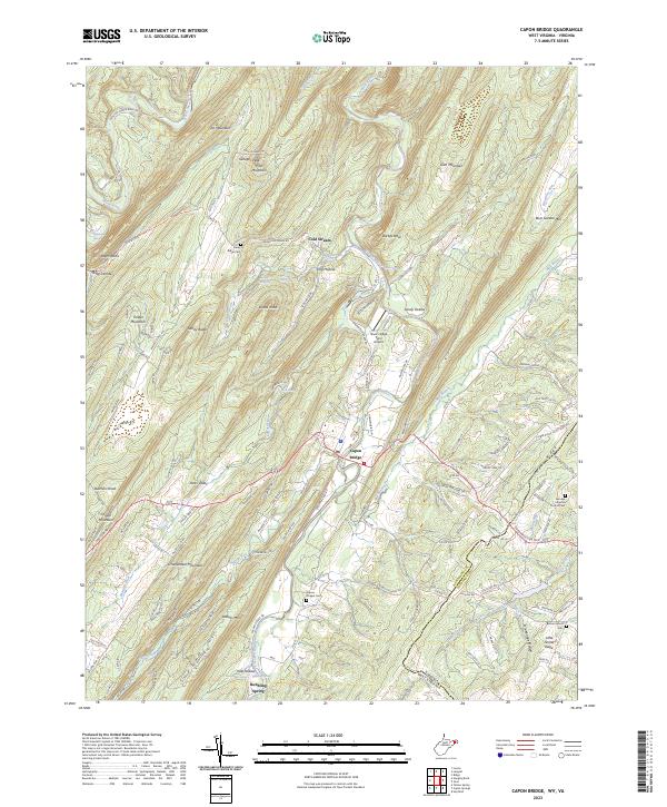 2023 Capon Bridge2023 Print · USGSHampshire County in the twenty-first century remains defined by the winding Cacapon River and the rural community of Capon Bridge. Genealogists and historians can trace local family landmarks through Capon Chapel Cem, Bethel Church Cem, and the high ridges of Dillons Mtn.
 - 2023 Map of Sector, 2023 Print
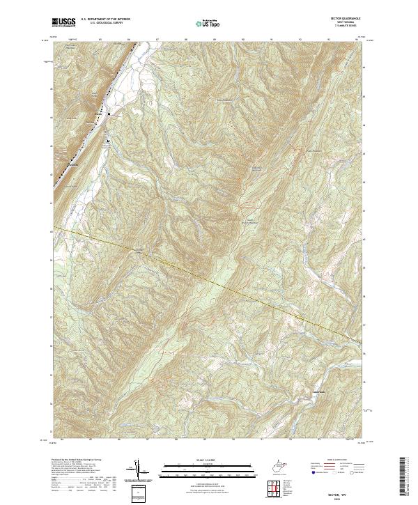 2023 Sector2023 Print · USGSHampshire and Hardy counties are captured here in the early 2020s, showcasing the steep ridges and hollows that define the Potomac Highlands. Researchers can locate the Poorhouse Cem near Sector and trace the winding course of the South Branch Potomac River through The Trough.
 - 2023 Map of Headsville, 2023 Print
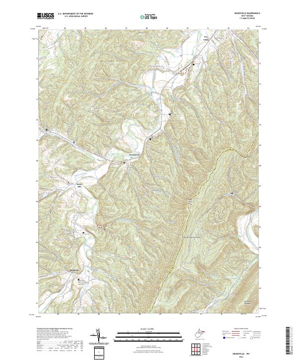 2023 Headsville2023 Print · USGSIn the early twenty-first century, this Mineral and Hampshire County borderland remains a landscape of valley settlements and high ridges. Genealogists can trace family names through numerous burial sites like Greenwall Cem, while local history comes alive at Reeses Mill and Fort Ashby.
 - 2023 Map of Levels, 2023 Print
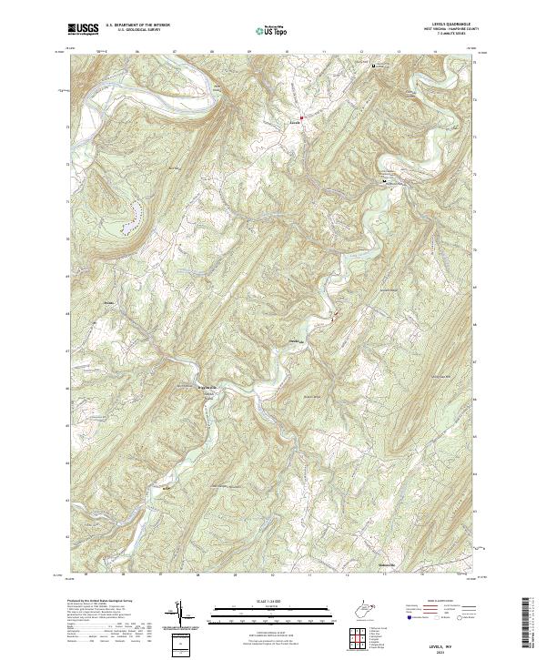 2023 Levels2023 Print · USGSHampshire County's ridge-and-valley terrain is captured in detail during the early 2020s, showing the enduring rural character of the West Virginia panhandle. Researchers can trace family roots through the Church of the Brethren Cem, or locate historic crossroads like Levels, Creekvale, and Slanesville.
 - 2023 Map of Burlington, 2023 Print
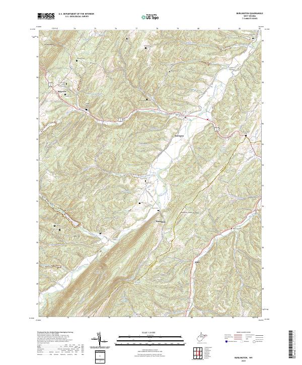 2023 Burlington2023 Print · USGSThe West Virginia panhandle highlands and the Patterson Creek valley come to life in this contemporary 2023 survey. Genealogists and local historians can locate many family burial grounds like Leatherman Cem and Elijah High Cem near Burlington.
 - 2023 Map of Old Fields, 2023 Print
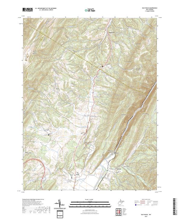 2023 Old Fields2023 Print · USGSThe Potomac Highlands south of Purgitsville are captured in this modern survey of the river valley. Genealogists and hikers can locate several burial grounds including Old Pine Cem and landmarks like The Sycamore and Old Fields Church.
 - 2023 Map of Rio, 2023 Print
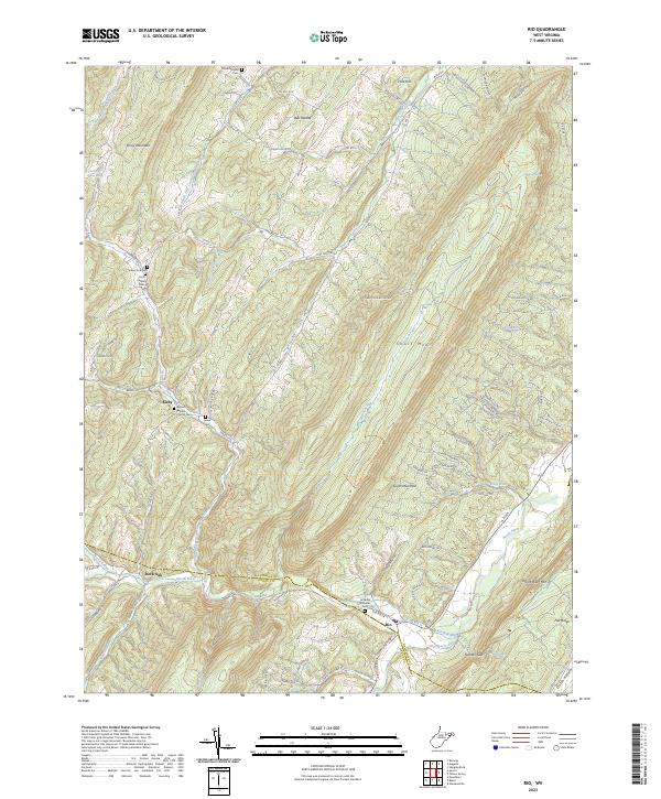 2023 Rio2023 Print · USGSHampshire County ridge-and-valley life is well-documented in this recent study of the West Virginia highlands. Genealogists and historians can trace family locations through numerous sites like Lutheran Ebenezer Cem, Kirby, and Hotts Chapel Cem.
 - 2023 Map of Romney, 2023 Print
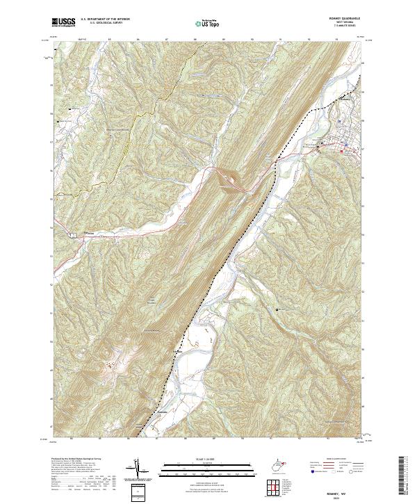 2023 Romney2023 Print · USGSHampshire County and the South Branch Potomac River are captured here in the early 2020s, showing the intersection of mountain geography and deep-rooted settlements. Researchers can locate family landmarks like Indian Mound Cem, Whip Cem, and the historic judicial center in Romney.
 - 2023 Map of Largent, 2023 Print
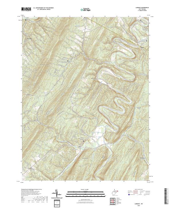 2023 Largent2023 Print · USGSHampshire and Morgan Counties are mapped here in the early twenty-first century, showing a landscape shaped by the Cacapon River and Sideling Hill. Researchers can trace local heritage through numerous burial sites like the Kerns Family Cem and the Old Enon Primitive Baptist Church Cem.
 - 2023 Map of Yellow Spring, 2023 Print
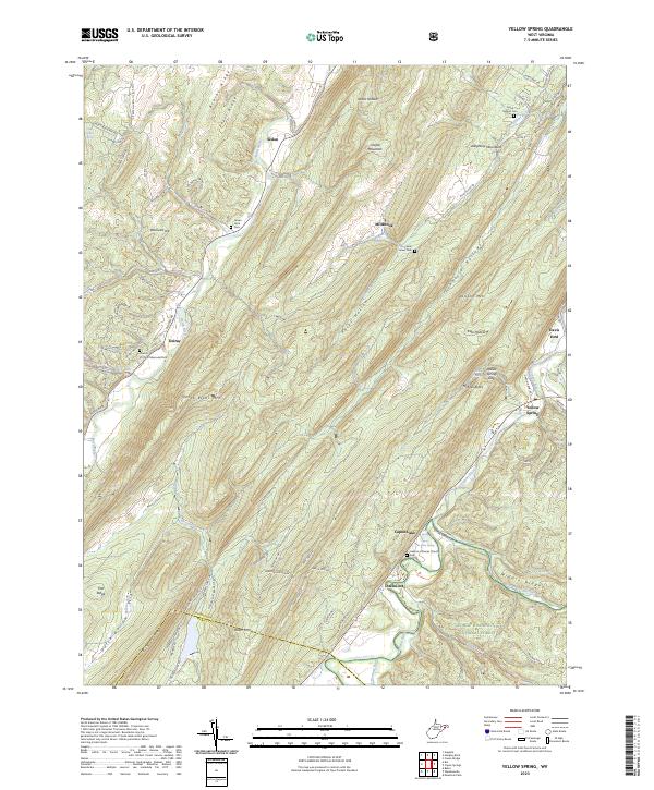 2023 Yellow Spring2023 Print · USGSHampshire County at the beginning of the 2020s shows a landscape of river-valley settlements and protected forest lands. Researchers can locate family sites at Green Mound Cem, trace the community at Yellow Spring, or explore the environs of Hebron Lutheran Church.
 - 2023 Map of Springfield, 2023 Print
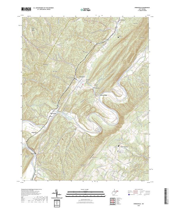 2023 Springfield2023 Print · USGSHampshire County at the start of the 2020s shows a landscape where the river and mountain ridges dictate the local geography. Family historians can trace local landmarks like Millesons Mill, Springfield Hill Cem, and the community of Three Churches.
 - 2023 Map of Oldtown, 2023 Print
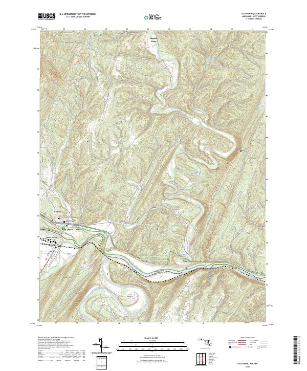 2023 Oldtown2023 Print · USGSThe Potomac River borderlands in the early 2020s show a landscape shaped by narrow water gaps and deep-rooted transportation corridors. Researchers can trace the path of the C&O Canal or locate family sites at Oldtown Catholic Cem and Fifty Four Cem.
 - 2023 Map of Capon Springs, 2023 Print
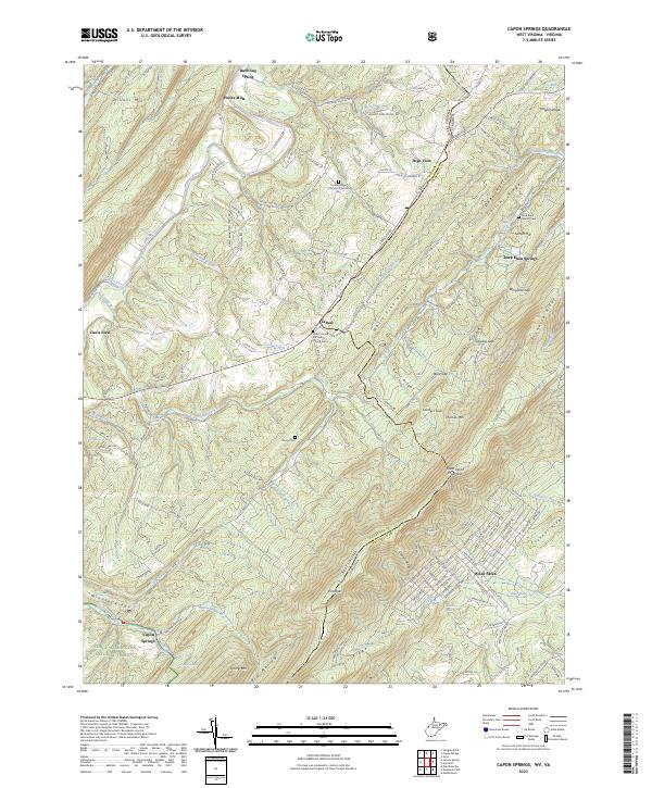 2023 Capon Springs2023 Print · USGSThe West Virginia and Virginia borderlands come into focus in this recent survey of the ridges and valleys between Hooks Mills and Wilde Acres. Researchers can locate family landmarks such as Racey Cem, Shiloh United Methodist Church Cem, and the springs at Capon Springs.
 - 2023 Map of Wardensville, 2023 Print
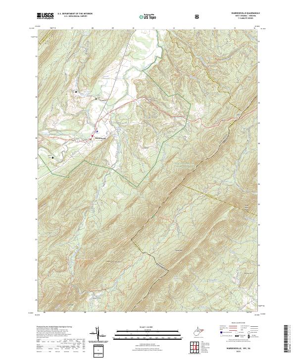 2023 Wardensville2023 Print · USGSWardensville sits at the gateway to the Cacapon Valley in the 2020s, a landscape shaped by river bends and high mountain ridges. Local historians can trace family plots at Clagett Cem and Wilson Cem or locate old holdings like Upper State Farm and Richard Farm.
 - 2023 Map of Paw Paw, 2023 Print
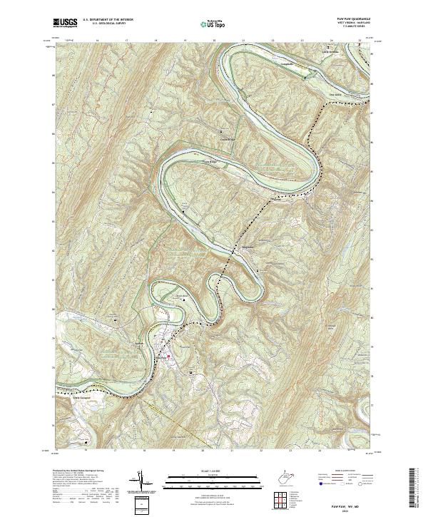 2023 Paw Paw2023 Print · USGSThe Potomac River meanders through the rugged borderlands of West Virginia and Maryland in this recent topographic survey. Researchers can trace historic family burial sites like Martin Cem and Ginevan Cem or explore the canal-side communities of Paw Paw and Magnolia.
 - 2023 Map of Patterson Creek, 2023 Print
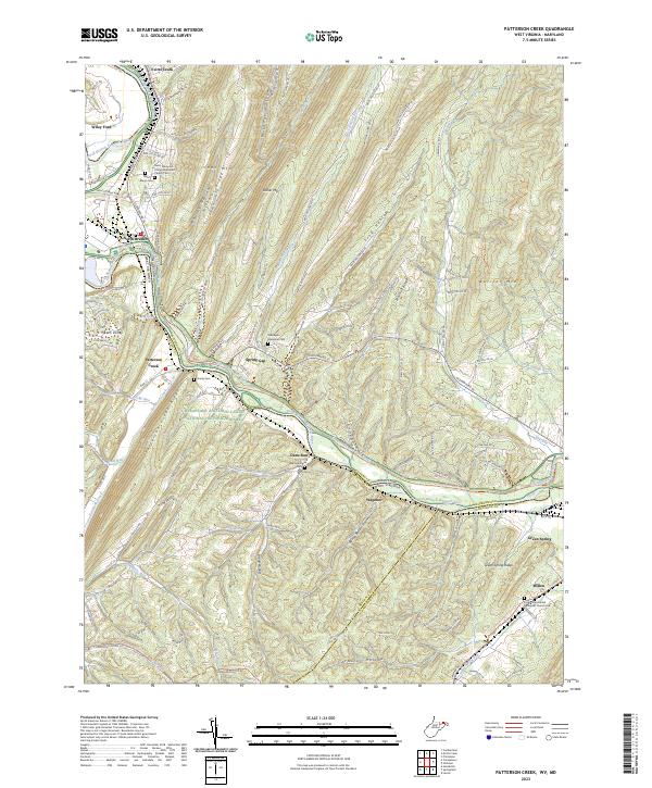 2023 Patterson Creek2023 Print · USGSMaryland and West Virginia meet along the North Branch Potomac River in this 2020s survey of the ridge-and-valley landscape. Genealogists can locate several historic cemeteries like Saint Marys Cem and Hardy Cem near the Patterson Creek valley.
 - 2023 Map of Hanging Rock, 2023 Print
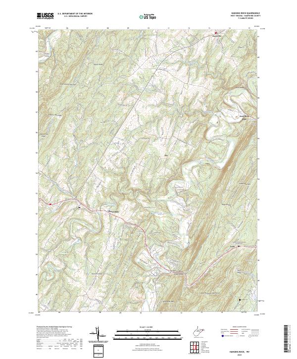 2023 Hanging Rock2023 Print · USGSHampshire County's ridges and valleys are mapped here in the early 2020s, showing a landscape of high summits and deep hollows. Researchers can locate family landmarks like Tear Coat Cemetery or the historic crossroads at North River Mills and Slanesville.
 - 2023 Map of Ridge, 2023 Print
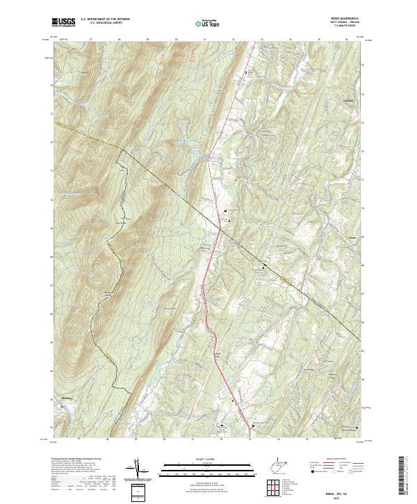 2023 Ridge2023 Print · USGSThe West Virginia and Virginia borderlands come into focus in this recent survey of the ridges and hollows east of Bloomery. Genealogists can locate several remote burial sites and rural congregations, including Union Chapel Cem, Wesley Chapel Cem, and Winding Ridge.
 - 2023 Map of Augusta, 2023 Print
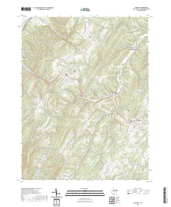 2023 Augusta2023 Print · USGSHampshire County ridge-and-valley terrain comes into focus in this contemporary survey of the settlements along the US-50 corridor. Researchers can trace family roots through sites like the Augusta Cemetery, Old Bethel Church, and the former milling site at Barnes Mill.
End of results
Showing maps 1-22 of 22
Top cities of Hampshire County
Frequently asked questions
- What are the different types of historical maps available for Hampshire County?
- What is the oldest map of Hampshire County?
- Where can I purchase historical maps of Hampshire County for my home or office?
- Where can I download high-res historical maps of Hampshire County?
- Are there historical topographic maps available for Hampshire County?
- Is there historical aerial imagery available for Hampshire County?
- Where are historical maps of Hampshire County sourced from?