2010s Maps of La Pointe, Wisconsin
Explore 48 historic maps of La Pointe from the 2010s. These maps offer a rare glimpse into what life looked like during the 2010s — showing old roads, neighborhoods, homes, and landmarks that have changed or disappeared over time.
Whether you're researching your family's past, planning a metal detecting trip, or studying how La Pointe's landscape evolved across the 2010s, these high-resolution maps are a powerful tool for exploring the history of this region.
- Focus on a specific era: All maps on this page are from the 2010s, giving you a focused view of this time period.
- See what’s changed: Compare century-old streets, trails, and buildings to today's modern landscape using overlays and satellite layers.
- Research with precision: Use these maps for genealogy, historical research, land use analysis, or educational projects.
- View, download, or print: Maps are fully viewable online in high resolution, and can be downloaded or printed for your own records.
Start exploring La Pointe's history through authentic maps from the 2010s. This is your window into the past.
La Pointe, WI maps
(48)- 2010 Map of Stockton Island, 2010 Print
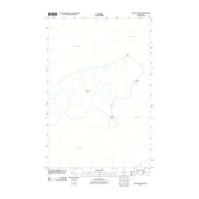 2010 Stockton Island2010 Print · USGSStockton Island sat as a natural centerpiece of the Apostle Islands at the start of the twenty-first century. Researchers can trace the varied shoreline from the geologically distinct Balancing Rock to the prominent hook of Presque Isle Point.
 - 2010 Map of Madeline Island, 2010 Print
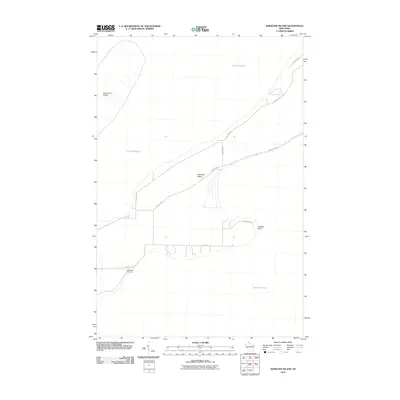 2010 Madeline Island2010 Print · USGSMadeline Island and its surroundings in Lake Superior are mapped here in the early twenty-first century, showing the established roads and landmarks of this coastal community. Trace local history at Greenwood Cemetery or explore the shoreline near Big Bay Point and Basswood Island.
 - 2010 Map of Oak Island, 2010 Print
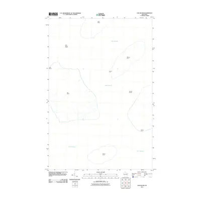 2010 Oak Island2010 Print · USGSThe Apostle Islands are captured in detail during the early 21st century, showing the isolated shorelines of this Lake Superior archipelago. Researchers can trace the topography of Oak Island, locate Manitou Camp, and see the coastal landmarks of Hermit Island and Quarry Point.
 - 2010 Map of Michigan Island OE S, 2010 Print
 2010 Michigan Island OE S2010 Print · USGSThe open waters of Lake Superior and the vital maritime approach to the Apostle Islands are the focus of this 2010 survey. Maritime researchers and historians can find the precise location of the Michigan Island Light as it guarded these northern waters.
 - 2010 Map of Amnicon Point, 2010 Print
 2010 Amnicon Point2010 Print · USGSThe Apostle Islands shoreline near La Pointe appears here in the early twenty-first century, showing a landscape shaped by water and woods. Researchers can trace local landmarks like Bog Lake and the coastal features of Amnicon Point and Steamboat Point.
 - 2010 Map of Bayfield, 2010 Print
 2010 Bayfield2010 Print · USGSThe Lake Superior coast and the northern tip of Madeline Island are captured here in the early twenty-first century. Genealogists and historians can trace the region's orchard heritage and maritime landmarks like La Pointe Light, Erickson Orchard, and the Old Bayfield County Courthouse.
 - 2010 Map of York Island, 2010 Print
 2010 York Island2010 Print · USGSThe northern tip of Wisconsin meets Lake Superior in this 2010 survey of islands and coastal points. Researchers can trace the drainage of Raspberry River and Frog Creek or locate the inland Petit Cache Airport and York Island.
 - 2010 Map of Michigan Island, 2010 Print
 2010 Michigan Island2010 Print · USGSThe Apostle Islands region in the early 21st century features the isolated shores of Michigan Island and Gull Island. Maritime historians can trace the precise location of the Gull Island Light and examine the natural shoreline at Sand Point along the vast waters of Lake Superior.
 - 2011 Map of Cat Island, 2011 Print
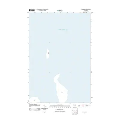 2011 Cat Island2011 Print · USGSThe Apostle Islands of northern Wisconsin appear in clear detail during the early 21st century. Researchers and maritime enthusiasts can trace the exact shorelines of Cat Island, North Twin Island, and the northern edge of Ironwood Island in the cold waters of Lake Superior.
 - 2011 Map of Rocky Island, 2011 Print
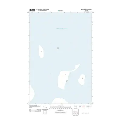 2011 Rocky Island2011 Print · USGSThe remote islands of Lake Superior are documented here in the early twenty-first century. Researchers can trace the layout of Hadland Fishing Camp on Rocky Island or study the terrain of Devils Island and South Twin Island.
 - 2011 Map of Bear Island, 2011 Print
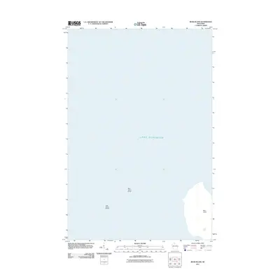 2011 Bear Island2011 Print · USGSIn the Apostle Islands during the early twenty-first century, this chart documents the isolated landmass of Bear Island and its surrounding waters. Maritime researchers can trace the hazardous Bear Island Shoal and York Island Shoals across the shelf of Lake Superior.
 - 2011 Map of Outer Island, 2011 Print
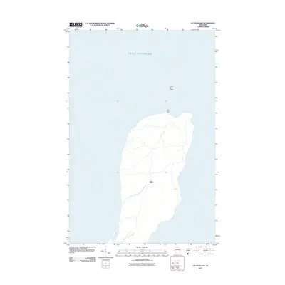 2011 Outer Island2011 Print · USGSOuter Island sits deep in Lake Superior during the early twenty-first century, serving as a remote maritime landmark. Maritime historians and researchers can locate the Outer Island Light and trace the perimeter of the Outer Island Shoal along the northern coast.
 - 2013 Map of Stockton Island, 2013 Print
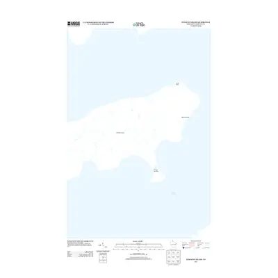 2013 Stockton Island2013 Print · USGSStockton Island in the early twenty-first century remains a primitive island landscape shaped by the waters of Lake Superior. Map enthusiasts can trace coastal landmarks like Trout Point, Presque Isle Point, and the unique Balancing Rock.
 - 2013 Map of York Island, 2013 Print
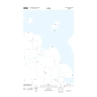 2013 York Island2013 Print · USGSThe Apostle Islands coastline and Lake Superior waters are captured here in the early twenty-first century. Genealogists and local historians can trace the rural road networks and coastal landmarks like Petit Cache Airport, York Island, and Raspberry Island.
 - 2013 Map of Michigan Island, 2013 Print
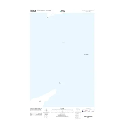 2013 Michigan Island2013 Print · USGSThe remote Apostle Islands of Ashland County appear here as they were in the early twenty-first century, surrounded by the deep waters of Lake Superior. Maritime historians can trace the dangerous hazards of Gull Island Shoal and the isolated shorelines of Michigan Island and Gull Island.
 - 2013 Map of Bayfield, 2013 Print
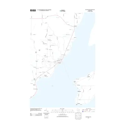 2013 Bayfield2013 Print · USGSCoastal Wisconsin and the tip of Madeline Island are shown in this modern survey, highlighting the region's productive agricultural and maritime character. Trace the legacy of family farming through Weber Orchard, Superior View Farm, and the Bayfield Lookout Tower.
 - 2013 Map of Oak Island, 2013 Print
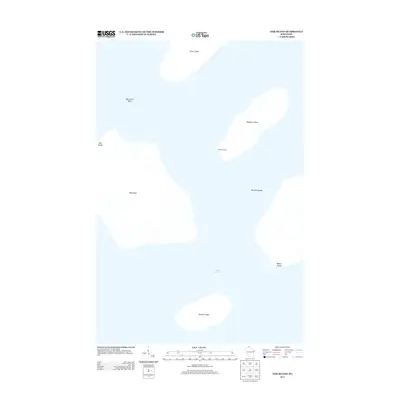 2013 Oak Island2013 Print · USGSThe Apostle Islands are captured in the early twenty-first century, showing the isolated landmasses of Lake Superior. Researchers can trace the terrain of Oak Island and locate remote sites like Manitou Camp or the geological feature at Clay Banks.
 - 2013 Map of Madeline Island, 2013 Print
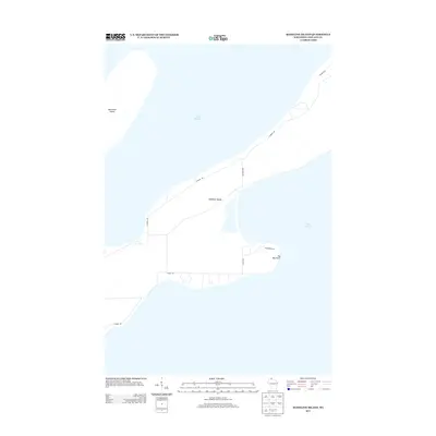 2013 Madeline Island2013 Print · USGSMadeline Island and the surrounding waters of Lake Superior are shown in this modern survey of the Apostle Islands area. Researchers can trace the layout of island roads like Wilderness Rd and N Shore Dr, or locate coastal landmarks like Big Bay Point.
 - 2013 Map of Amnicon Point, 2013 Print
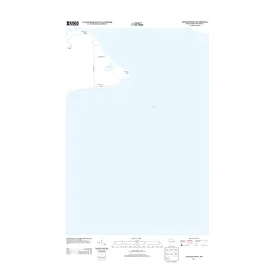 2013 Amnicon Point2013 Print · USGSThe Lake Superior coastline of Ashland County is documented here during the early twenty-first century. Researchers can trace the shoreline between Steamboat Point and Amnicon Point, along with small local routes like School House Rd and Chippewa Trl.
 - 2013 Map of Outer Island, 2013 Print
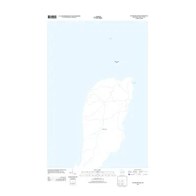 2013 Outer Island2013 Print · USGSOuter Island sits within the expansive waters of Lake Superior during the early twenty-first century. Researchers can trace the island's coastal geography and interior trail network, locating features such as Austad Bay and the nearby Outer Island Shoal.
 - 2013 Map of Rocky Island, 2013 Print
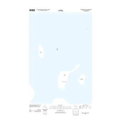 2013 Rocky Island2013 Print · USGSThe northern Apostle Islands of Wisconsin appear in the early twenty-first century as quiet outposts in Lake Superior. Researchers can locate the historic Hadland Fishing Camp on Rocky Island and trace the shores of Devils Island.
 - 2013 Map of Cat Island, 2013 Print
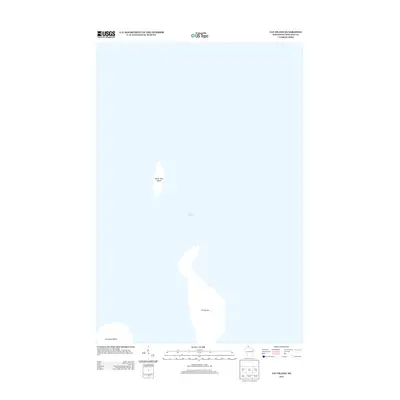 2013 Cat Island2013 Print · USGSThe Apostle Islands are documented in the early twenty-first century as they emerge from the waters of Lake Superior. Researchers can study the distinct shapes and isolation of Cat Island, North Twin Island, and Ironwood Island in this focused maritime survey.
 - 2013 Map of Bear Island, 2013 Print
 2013 Bear Island2013 Print · USGSLake Superior maritime history is captured here at the start of the 2010s, focusing on the isolated terrain of the Apostle Islands. Researchers and mariners can trace the shoreline of Bear Island and identify navigational hazards like Bear Island Shoal and York Island Shoals.
 - 2013 Map of Michigan Island OE S, 2013 Print
 2013 Michigan Island OE S2013 Print · USGSThe open waters of Lake Superior southeast of the Apostle Islands are captured in this 2013 survey. Maritime researchers and historians can use this hydrographic data to trace the shipping lanes and aquatic environment surrounding Wisconsin’s northern islands.
 - 2015 Map of Amnicon Point, 2015 Print
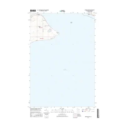 2015 Amnicon Point2015 Print · USGSMadeline Island and its surrounding waters are captured here in the early twenty-first century. Researchers can trace the layout of island access roads like School House Rd and find geographic landmarks such as Steamboat Point and Amnicon Point.
Showing maps 1-25 of 48
Top cities near La Pointe
Top neighborhoods of La Pointe
Frequently asked questions
- What are the different types of historical maps available for La Pointe?
- What is the oldest map of La Pointe?
- Where can I purchase historical maps of La Pointe for my home or office?
- Where can I download high-res historical maps of La Pointe?
- Are there historical topographic maps available for La Pointe?
- Is there historical aerial imagery available for La Pointe?
- Where are historical maps of La Pointe sourced from?