2010s Maps of Alvin, Wisconsin
Explore 24 historic maps of Alvin from the 2010s. These maps offer a rare glimpse into what life looked like during the 2010s — showing old roads, neighborhoods, homes, and landmarks that have changed or disappeared over time.
Whether you're researching your family's past, planning a metal detecting trip, or studying how Alvin's landscape evolved across the 2010s, these high-resolution maps are a powerful tool for exploring the history of this region.
- Focus on a specific era: All maps on this page are from the 2010s, giving you a focused view of this time period.
- See what’s changed: Compare century-old streets, trails, and buildings to today's modern landscape using overlays and satellite layers.
- Research with precision: Use these maps for genealogy, historical research, land use analysis, or educational projects.
- View, download, or print: Maps are fully viewable online in high resolution, and can be downloaded or printed for your own records.
Start exploring Alvin's history through authentic maps from the 2010s. This is your window into the past.
Alvin, WI maps
(24)- 2011 Map of Alvin NW, 2011 Print
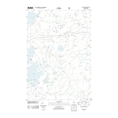 2011 Alvin NW2011 Print · USGSThe Vilas County north woods are captured here at a time when seasonal camps and forest service routes defined the local geography. Researchers can trace the layout of Kentuck Lake Campground or locate historic sites like Griswolds Camp and Forks Dam.
 - 2011 Map of Alvin, 2011 Print
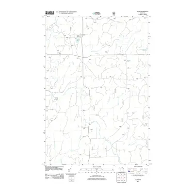 2011 Alvin2011 Print · USGSAlvin and the surrounding Forest County timberlands are captured here in the early twenty-first century. Researchers can trace local landmarks like Lakeview Cemetery, the Pine River Lookout Tower, and the waters of Killborn Lake and Brule Creek.
 - 2011 Map of Tipler, 2011 Print
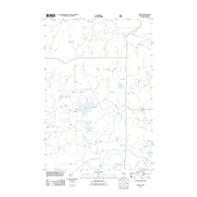 2011 Tipler2011 Print · USGSThe northern woods of Florence County come alive in this map of the Tipler area during the early twenty-first century. Genealogists and local historians can trace family-named roads and landmarks like Martin Cemetery, Klocks Resort, and the settlement of Tipler.
 - 2011 Map of Iron River, 2011 Print
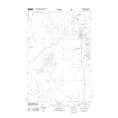 2011 Iron River2011 Print · USGSIron County at the start of the twenty-first century reveals a landscape shaped by mining history and outdoor recreation. Genealogists and historians can trace family roots through Mineral Hills, Caspian, and local burial grounds like Resthaven Cemetery.
 - 2011 Map of Hagerman Lake, 2011 Print
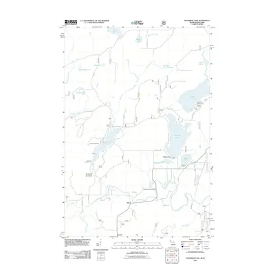 2011 Hagerman Lake2011 Print · USGSThe Wisconsin-Michigan border country is captured here during the early twenty-first century, showing a landscape of glacial lakes and managed forest. Researchers can locate the Mile Post Zero and Treaty Tree Point of Interest and the settlement of Nelma near the banks of the Brule River.
 - 2011 Map of Smoky Lake, 2011 Print
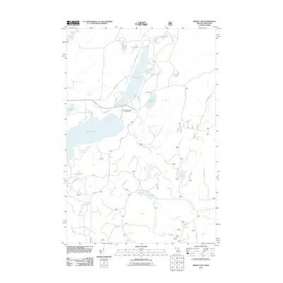 2011 Smoky Lake2011 Print · USGSThe Michigan-Wisconsin borderlands are captured here in the early 2010s, a landscape defined by glacial lakes and forest service roads. Genealogists and local historians can trace property access near Holmes Park or locate landmarks like the Phelps Municipal Landing Strip and Big Sand Lake.
 - 2013 Map of Tipler, 2013 Print
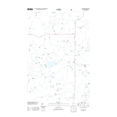 2013 Tipler2013 Print · USGSIn the lakes of Florence County during the early 2010s, the community of Tipler stood as a quiet crossroads for forestry and recreation. Researchers can trace local landmarks like Klocks Resort, the Stevens Lake Campground, and the winding course of the Pine River.
 - 2013 Map of Alvin, 2013 Print
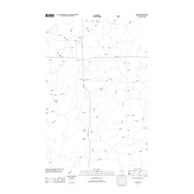 2013 Alvin2013 Print · USGSThe northern forest of Forest County is documented here in the early twenty-first century as a landscape of timber management and hidden waters. Researchers can trace the local road network and drainage basins of the Pine River, including features like the Pine River Lookout Tower and Windsor Dam Campground.
 - 2013 Map of Alvin NW, 2013 Print
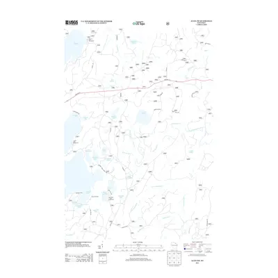 2013 Alvin NW2013 Print · USGSIn the heart of the Nicolet National Forest during the early twenty-first century, this landscape was defined by its dense glacial lakes and forest service trails. Researchers can trace remote sites like Griswolds Camp and seasonal access points at Franklin Lake Campground or Indian Camp Lake.
 - 2014 Map of Hagerman Lake, 2014 Print
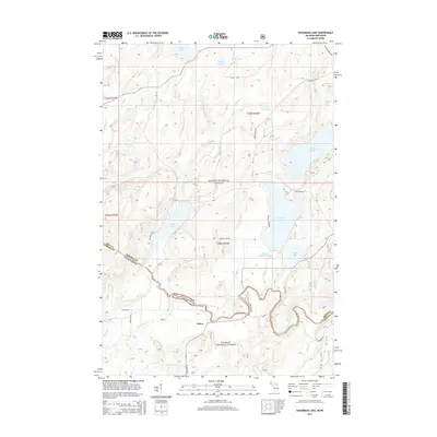 2014 Hagerman Lake2014 Print · USGSThe Michigan-Wisconsin borderlands appear here in the early twenty-first century, centered on the winding Brule River and the settlement of Nelma. Researchers can trace old forest routes and lake access points near Hagerman Lake and Ottawa Lake within the Ottawa National Forest.
 - 2014 Map of Iron River, 2014 Print
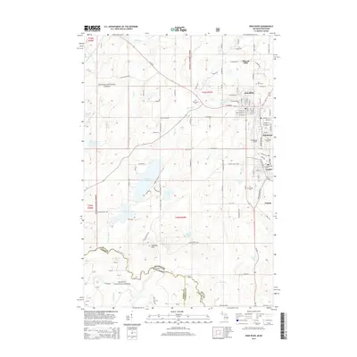 2014 Iron River2014 Print · USGSIron River and its neighboring mining-era settlements are shown in the mid-2010s as they transition within the North Woods. Genealogists and local historians can locate several major cemeteries including Resthaven Cem and trace the urban footprints of Mineral Hills and Caspian.
 - 2014 Map of Smoky Lake, 2014 Print
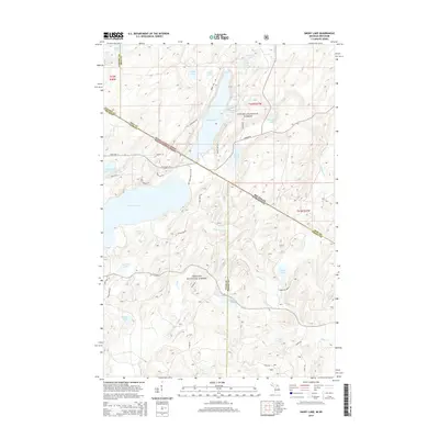 2014 Smoky Lake2014 Print · USGSThe northern borderlands of Wisconsin and Michigan are captured here in a period of deep forest conservation. Genealogists and outdoorsmen can trace the access routes around Smoky Lake and Big Sand Lake, or locate remote features like Elvoy Springs and Iskote Lake.
 - 2015 Map of Alvin NW, 2015 Print
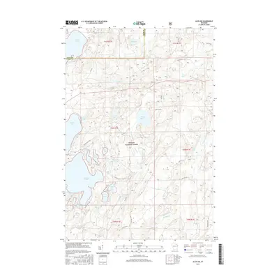 2015 Alvin NW2015 Print · USGSThe Vilas and Forest County borderlands are shown here in the mid-2010s, capturing a dense landscape of glacial lakes and forest service timber routes. Researchers can trace the water network from Kentuck Lake down through the N Br Pine River and identify remote landmarks like Indian Camp Lake and the Hidden Lakes Trail.
 - 2015 Map of Alvin, 2015 Print
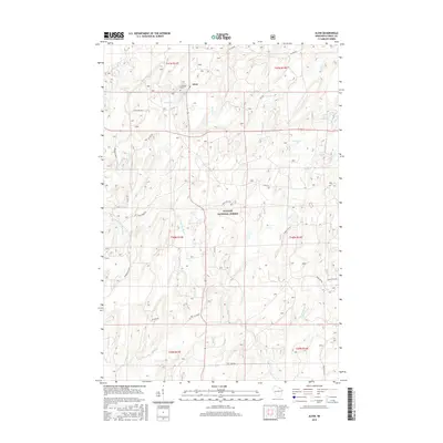 2015 Alvin2015 Print · USGSUpper Wisconsin’s Northwoods are captured here during a period of modern forest management and quiet rural life. Researchers can trace local history at Lakeview Cem or follow the winding Pine River through the heart of the Nicolet National Forest.
 - 2015 Map of Tipler, 2015 Print
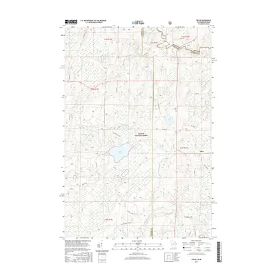 2015 Tipler2015 Print · USGSThe timberlands of Florence County and the Michigan border are captured here during the mid-2010s. Researchers can locate the Martin Cem and trace the many waters of the Nicolet National Forest, from Stevens Lake to the Brule River.
 - 2017 Map of Hagerman Lake, 2017 Print
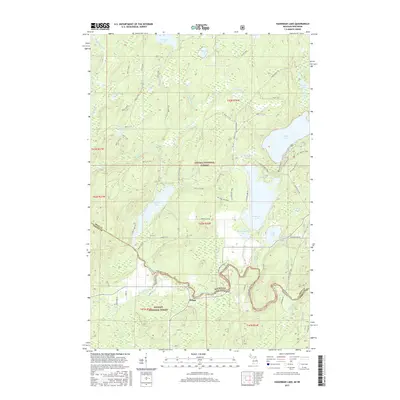 2017 Hagerman Lake2017 Print · USGSThe Michigan and Wisconsin borderlands are defined by the winding Brule River and deep Northwoods timber in this 2017 survey. Genealogists and outdoorsmen can trace the settlement at Nelma and explore the vast lake system including Hagerman Lake and Brule Lake.
 - 2017 Map of Smoky Lake, 2017 Print
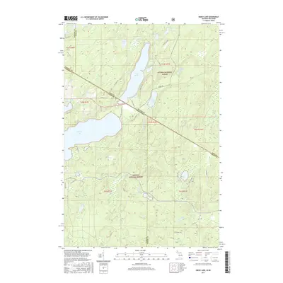 2017 Smoky Lake2017 Print · USGSThe borderlands of Michigan and Wisconsin are defined here by the vast lake systems of the northern woods during the mid-2010s. Researchers can trace forest access routes and shoreline developments around Smoky Lake, Big Sand Lake, and the remote Elvoy Springs.
 - 2017 Map of Iron River, 2017 Print
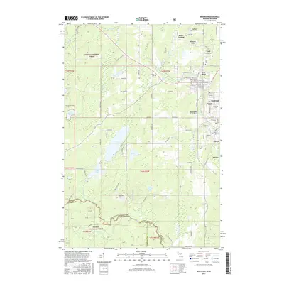 2017 Iron River2017 Print · USGSThe Michigan-Wisconsin borderlands appear here in the late twentieth century, centered on the iron-mining communities of the Upper Peninsula. Genealogists and historians can trace family locations through named districts like Forbes and Hiawatha or locate ancestors at Stambaugh Cem.
 - 2018 Map of Alvin NW, 2018 Print
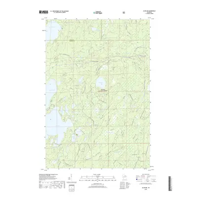 2018 Alvin NW2018 Print · USGSThe Northwoods of Vilas and Forest counties are shown here during the late 2010s, capturing a landscape of dense timber and glacial lakes. Researchers can trace forest service roads and snowmobile trails to landmarks like Indian Camp Bake, Bose Lake, and Kentuck Lake.
 - 2018 Map of Alvin, 2018 Print
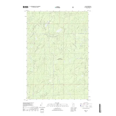 2018 Alvin2018 Print · USGSThe community of Alvin and the surrounding Northwoods appear here in the late twenty-teens, nestled within the Nicolet National Forest. Genealogists and local historians can trace family locations near Lakeview Cem or map out the many waterways including Onimish Lake and Charlie Otto Spring.
 - 2018 Map of Tipler, 2018 Print
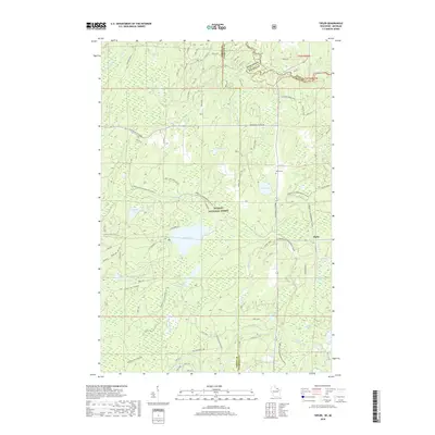 2018 Tipler2018 Print · USGSTipler and the surrounding timberlands of Florence County appear here during the late twenty-first century. Researchers can trace the layout of the Nicolet National Forest and locate specific sites like Martin Cem, Lilypad Lake, and the Pine River.
 - 2019 Map of Iron River, 2019 Print
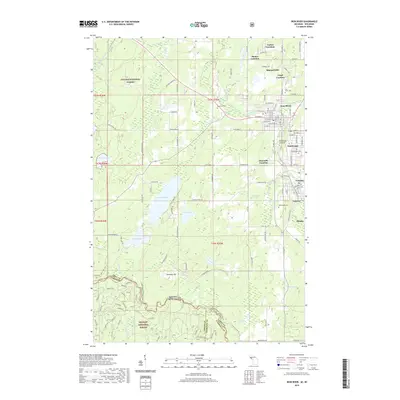 2019 Iron River2019 Print · USGSIron County's mining heartland is captured here late in the second decade of the millennium, showing the unique cluster of company towns and locations. Genealogists can trace family footprints across Mineral Hills, Gaastra, and cemeteries like Resthaven Cem.
 - 2019 Map of Smoky Lake, 2019 Print
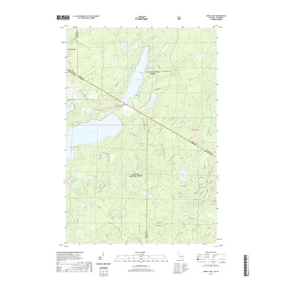 2019 Smoky Lake2019 Print · USGSThe borderlands between Michigan and Wisconsin come alive in this modern survey of the deep woods where two national forests converge. Local historians and outdoor enthusiasts can trace the routes of the Vilas Co Snowmobile trail and locate remote water features like Elvoy Springs or Little Smoky Lake.
 - 2019 Map of Hagerman Lake, 2019 Print
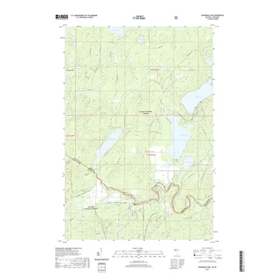 2019 Hagerman Lake2019 Print · USGSThe Michigan-Wisconsin borderlands are mapped here during the late twenty-tens, showing the wooded transition between two major national forests. Researchers can locate the settlement of Nelma and trace the winding Brule River as it passes near Hagerman Lake and Ottawa Lake.
End of results
Showing maps 1-24 of 24
Top cities near Alvin
- Iron River historical maps
- Phelps historical maps
- Stambaugh historical maps
- Caspian historical maps
- Argonne historical maps
- Hiles historical maps
See more
Top neighborhoods of Alvin
Frequently asked questions
- What are the different types of historical maps available for Alvin?
- What is the oldest map of Alvin?
- Where can I purchase historical maps of Alvin for my home or office?
- Where can I download high-res historical maps of Alvin?
- Are there historical topographic maps available for Alvin?
- Is there historical aerial imagery available for Alvin?
- Where are historical maps of Alvin sourced from?