2020s Maps of Sheridan County, Wyoming
Explore 72 historic maps of Sheridan County from the 2020s. These maps offer a rare glimpse into what life looked like during the 2020s — showing old roads, neighborhoods, homes, and landmarks that have changed or disappeared over time.
Whether you're researching your family's past, planning a metal detecting trip, or studying how Sheridan County's landscape evolved across the 2020s, these high-resolution maps are a powerful tool for exploring the history of this region.
- Focus on a specific era: All maps on this page are from the 2020s, giving you a focused view of this time period.
- See what’s changed: Compare century-old streets, trails, and buildings to today's modern landscape using overlays and satellite layers.
- Research with precision: Use these maps for genealogy, historical research, land use analysis, or educational projects.
- View, download, or print: Maps are fully viewable online in high resolution, and can be downloaded or printed for your own records.
Start exploring Sheridan County's history through authentic maps from the 2020s. This is your window into the past.
Sheridan County, WY maps
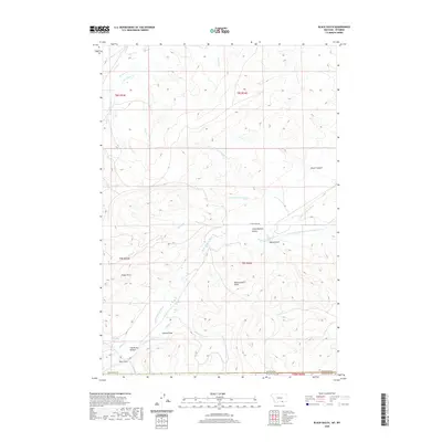
(72)- 2020 Map of Willow Creek Dam SW, 2020 Print
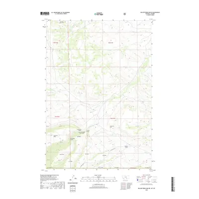 2020 Willow Creek Dam SW2020 Print · USGSCovers Sheridan County, including Big Horn County, United States, and other nearby areas
 - 2020 Map of Bear Hole, 2020 Print
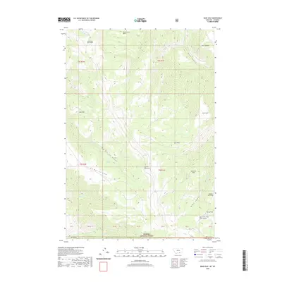 2020 Bear Hole2020 Print · USGSCovers Sheridan County, including Big Horn County, Big Horn County, and other nearby areas
 - 2020 Map of Pass Creek West, 2020 Print
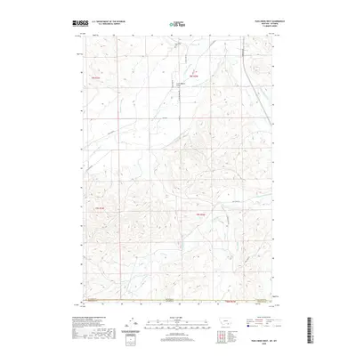 2020 Pass Creek West2020 Print · USGSCovers Sheridan County, including Big Horn County, United States, and other nearby areas
 - 2020 Map of Pass Creek East, 2020 Print
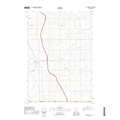 2020 Pass Creek East2020 Print · USGSCovers Sheridan County, including Aberdeen, Big Horn County, and other nearby areas
 - 2020 Map of Black Gulch, 2020 Print
 2020 Black Gulch2020 Print · USGSCovers Sheridan County, including Big Horn County, United States, and other nearby areas
 - 2020 Map of Little Bear Creek, 2020 Print
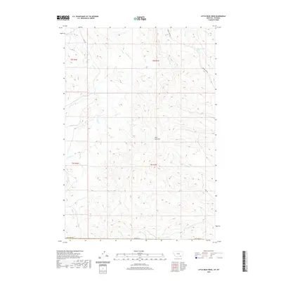 2020 Little Bear Creek2020 Print · USGSCovers Sheridan County, including Big Horn County, United States, and other nearby areas
 - 2020 Map of Red Springs, 2020 Print
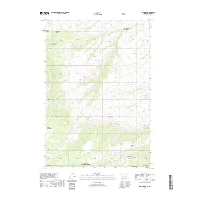 2020 Red Springs2020 Print · USGSCovers Sheridan County, including Big Horn County, United States, and other nearby areas
 - 2021 Map of Walker Mountain, 2021 Print
 2021 Walker Mountain2021 Print · USGSSheridan County's high-elevation wilderness within the Bighorn National Forest is captured here in the early twenty-first century. Researchers and hikers can trace remote paths like the Walker Prairie Trl and Roosevelt Trl across peaks including Walker Mtn.
 - 2021 Map of Bull Elk Park, 2021 Print
 2021 Bull Elk Park2021 Print · USGSBighorn National Forest at the turn of the twenty-first century reveals a landscape shaped by the Little Bighorn River. Trace historic backcountry routes like the Little Horn Trl and the Pumpkin Creek Trl as they navigate peaks such as Leaky Mtn.
 - 2021 Map of Columbus Peak, 2021 Print
 2021 Columbus Peak2021 Print · USGSSheridan County ranch lands and high wilderness meet in this recent survey of the Bighorn foothills. Researchers can trace historic water rights and mountain access through irrigation works like Church Ditch and back-country paths including Freeze Out Trl.
 - 2021 Map of Gardner Gulch, 2021 Print
 2021 Gardner Gulch2021 Print · USGSSheridan County ranching lands are captured here in the early twenty-first century, showing a landscape of named draws and water catchments. Researchers can trace the routes of Passaic Rd and Co Rd 86 past landmarks like Foster Buttes and the Whedon Number 1 Reservoir.
 - 2021 Map of Jewell Draw, 2021 Print
 2021 Jewell Draw2021 Print · USGSSheridan and Johnson counties meet in this modern topographical study of the high plains drainage systems. Researchers can trace intricate watercourses and local landmarks like The Lake, Jewell Draw, and the named branches of Cottonwood Creek.
 - 2021 Map of Boyd Ridge, 2021 Print
 2021 Boyd Ridge2021 Print · USGSThe Bighorn Mountains on the Sheridan and Big Horn county line are shown here in the early 2020s. Hikers and historians can trace high-altitude routes like Lodge Grass Trail past landmarks such as Boyd Ridge and Crater Spring.
 - 2021 Map of Arpan Butte, 2021 Print
 2021 Arpan Butte2021 Print · USGSSheridan and Johnson counties are shown here as they appeared in the early twenty-first century, featuring the high point of Arpan Butte. Genealogists and historians can trace land use through landmarks like Bill Yates Reservoir and the rural network of Thompson Creek Rd.
 - 2021 Map of Dayton South, 2021 Print
 2021 Dayton South2021 Print · USGSDayton and the Bighorn National Forest foothills appear in fine detail during the early 2020s. Trace the irrigation network of the Tongue River or locate landmarks like Dayton Cem, the Xingu Airstrip, and the rugged formations at Fallen City.
 - 2021 Map of Jones Draw, 2021 Print
 2021 Jones Draw2021 Print · USGSSheridan County ranch lands and drainage basins are captured here in the early twenty-first century. Researchers can trace land use and named landmarks from Lanbaugh Number 4 Draw to the winding course of Arkansas Cr.
 - 2021 Map of Horse Hill, 2021 Print
 2021 Horse Hill2021 Print · USGSSheridan and Johnson Counties appear here in the early twenty-first century, showing a landscape defined by ranching and essential water management. Researchers can trace the sophisticated irrigation network including Sturdevant-Ditch, Maverick Ditch, and Big Draw Reservoir.
 - 2021 Map of Lariat, 2021 Print
 2021 Lariat2021 Print · USGSThe Powder River valley at the junction of Sheridan, Johnson, and Campbell counties is documented here in the early twenty-first century. Family and local historians can trace the geography of the high plains through named landmarks like Catfish Geyser, Lariat, and Stotts Draw.
 - 2021 Map of Wolf, 2021 Print
 2021 Wolf2021 Print · USGSSheridan County ranch lands and mountain foothills are captured here in the early twenty-first century, showcasing a landscape defined by historic water rights. Researchers can trace the sophisticated irrigation network of the Old Reliable Ditch and Garrard Ditch alongside Eatons Ranch Rd.
 - 2021 Map of Verona, 2021 Print
 2021 Verona2021 Print · USGSSheridan County ranching country is mapped here during the early twenty-first century, showing the complex hydrology of the Dutch Creek drainages. Genealogists and local historians can trace family-named landmarks like Tibbets Gulch, Parker Draw, and the settlement of Verona.
 - 2021 Map of Ucross, 2021 Print
 2021 Ucross2021 Print · USGSThe confluence of Clear and Piney Creeks in northern Wyoming is captured here in a detailed modern study of ranching and irrigation. Researchers can trace the path of historic waterworks like Big Bonanza Ditch and Athoepe Rogers Ditch or find landmarks like Blazer Hill.
 - 2021 Map of Hultz Draw, 2021 Print
 2021 Hultz Draw2021 Print · USGSThe western outskirts of Sheridan meet the rolling foothills of the Bighorns in this recent survey of northern Wyoming ranch country. Researchers can trace intricate water rights through the Alliance Ditch and explore family-named landmarks like Hultz Draw and Garrett Reservoir.
 - 2021 Map of Arvada NE, 2021 Print
 2021 Arvada NE2021 Print · USGSSheridan and Campbell Counties are captured here in the early twenty-first century, showing the remote ranching landscape along the Powder River. Genealogists and local historians can locate the Arvada Cem and trace the paths of Wild Horse Rd and Lower Powder River Rd.
 - 2021 Map of Leavitt Reservoir, 2021 Print
 2021 Leavitt Reservoir2021 Print · USGSBig Horn County at the start of the 2020s shows a high-elevation landscape of national forest and ranch land. Researchers can trace land management and water features like London Ditch, Hunt Mtn, and the winding Beaver Creek Rd.
 - 2021 Map of Mexican Hill, 2021 Print
 2021 Mexican Hill2021 Print · USGSBig Horn County at the start of the 2020s remains a wilderness of steep drainages and high national forest ridges. Researchers can trace the routes of the Mexican Hill Trl and Bucking Mule Falls Trl past landmarks like Sheep Mtn.
Showing maps 1-25 of 72
Top cities of Sheridan County
Frequently asked questions
- What are the different types of historical maps available for Sheridan County?
- What is the oldest map of Sheridan County?
- Where can I purchase historical maps of Sheridan County for my home or office?
- Where can I download high-res historical maps of Sheridan County?
- Are there historical topographic maps available for Sheridan County?
- Is there historical aerial imagery available for Sheridan County?
- Where are historical maps of Sheridan County sourced from?