2010s Maps of Sheridan County, Wyoming
Explore 206 historic maps of Sheridan County from the 2010s. These maps offer a rare glimpse into what life looked like during the 2010s — showing old roads, neighborhoods, homes, and landmarks that have changed or disappeared over time.
Whether you're researching your family's past, planning a metal detecting trip, or studying how Sheridan County's landscape evolved across the 2010s, these high-resolution maps are a powerful tool for exploring the history of this region.
- Focus on a specific era: All maps on this page are from the 2010s, giving you a focused view of this time period.
- See what’s changed: Compare century-old streets, trails, and buildings to today's modern landscape using overlays and satellite layers.
- Research with precision: Use these maps for genealogy, historical research, land use analysis, or educational projects.
- View, download, or print: Maps are fully viewable online in high resolution, and can be downloaded or printed for your own records.
Start exploring Sheridan County's history through authentic maps from the 2010s. This is your window into the past.
Sheridan County, WY maps
(206)- 2011 Map of Black Gulch, 2011 Print
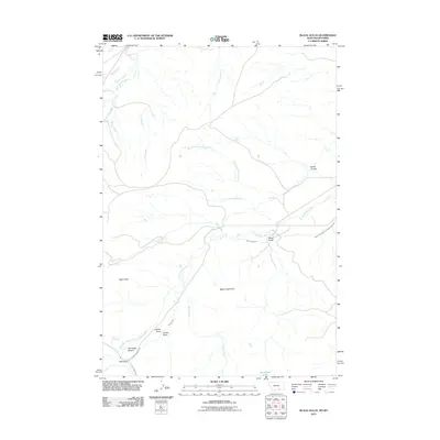 2011 Black Gulch2011 Print · USGSSheridan County ranch lands and the northern reaches of the Wyoming-Montana border are defined by river-driven geography. Genealogists and historians can trace local landmarks like The Rocky Bottom, Lotties Draw, and the Little Bighorn River.
 - 2011 Map of Pass Creek West, 2011 Print
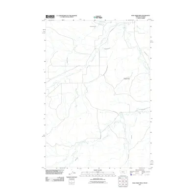 2011 Pass Creek West2011 Print · USGSThe Montana-Wyoming borderlands are defined by the intricate irrigation networks of the Little Bighorn Valley in the early twenty-first century. Researchers can trace land use through the Bozeman Trail Ditch, Brightwing Cemetery, and the Resettlement FSA Number 1 Dam.
 - 2011 Map of Pass Creek East, 2011 Print
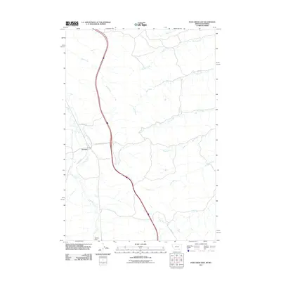 2011 Pass Creek East2011 Print · USGSBig Horn County and the Montana-Wyoming state line appear in the early 21st century as a quiet intersection of ranch roads and winding creek beds. Researchers can trace the layout of Aberdeen and follow the paths of Wolf Creek, Pass Creek, and Gannon Draw.
 - 2011 Map of Dayton North, 2011 Print
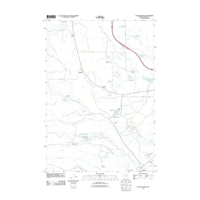 2011 Dayton North2011 Print · USGSDayton and Parkman are shown at the start of the twenty-first century, a landscape defined by ranching and complex water management. Researchers can trace irrigation networks and ranch boundaries through features like Fivemile Ditch, Bear Claw Ranch, and Antwerp Reservoir.
 - 2011 Map of Monarch, 2011 Print
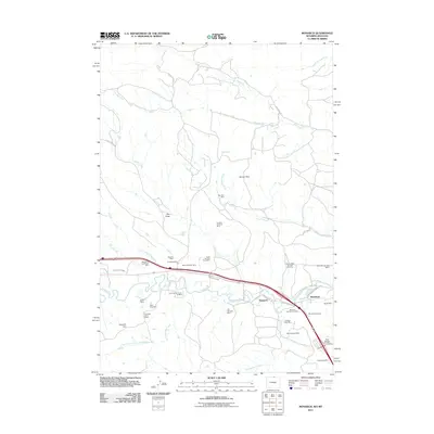 2011 Monarch2011 Print · USGSNorthern Wyoming's coal country is on full display in this survey of the Tongue River valley. Genealogists and industrial historians can trace dozens of specific sites like the Monarch Cemetery, Big Horn Mine, and the historic settlement at Kleenburn.
 - 2011 Map of Cedar Canyon, 2011 Print
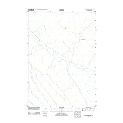 2011 Cedar Canyon2011 Print · USGSSheridan County ranching country comes into focus in this early twenty-first-century survey of the Wyoming-Montana border. Genealogists and historians can locate family landmarks like the NX Bar Ranch or trace the intricate draws of Riley Draw and Badger Creek.
 - 2011 Map of Bar N Draw, 2011 Print
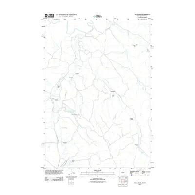 2011 Bar N Draw2011 Print · USGSSheridan County's high plains and mining history are captured in this early twenty-first-century survey near the Montana line. Researchers can trace the water infrastructure of Prairie Dog Ditch Number 13 or locate the sites of the Evans Badger Creek Mine and Carneyville Mine.
 - 2011 Map of Roundup Draw, 2011 Print
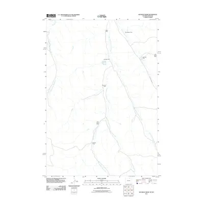 2011 Roundup Draw2011 Print · USGSSheridan County's high plains terrain near the Montana border is captured in this early twenty-first-century survey of the Powder River Basin. Researchers can trace land use through features like Antelope Reservoir or locate specific family-named landmarks including Tiner David Draw and Horsley Draw.
 - 2011 Map of Box Elder Draw, 2011 Print
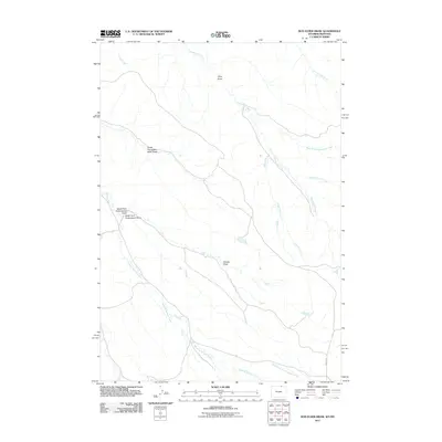 2011 Box Elder Draw2011 Print · USGSSheridan County ranch lands on the Wyoming-Montana border are captured here in the early twenty-first century. Researchers can trace the intricate network of family-named drainages and historical paths such as King Draw, Schoolhouse Prong, and Hanging Woman Creek.
 - 2011 Map of Ranchester, 2011 Print
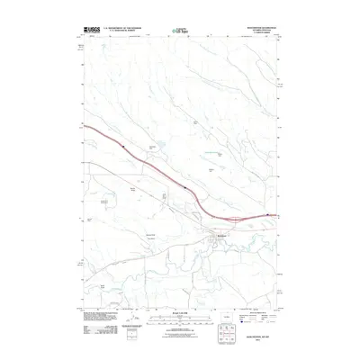 2011 Ranchester2011 Print · USGSRanchester sits at the heart of this Sheridan County landscape in the early 2010s, where the river-and-rail economy meets the high plains. Genealogists and local historians can trace irrigation networks like Mikado Ditch and family-named landmarks such as Jack Bill Draw.
 - 2011 Map of Cabin Creek NW, 2011 Print
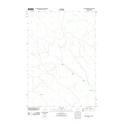 2011 Cabin Creek NW2011 Print · USGSSheridan County ranchlands at the Wyoming-Montana border are shown here in the early 2000s, defined by high-plains drainage systems. Researchers can trace historic land use through features like Schoolhouse Prong, Sawmill Draw, and the prominent Squaw Butte.
 - 2011 Map of O T O Ranch, 2011 Print
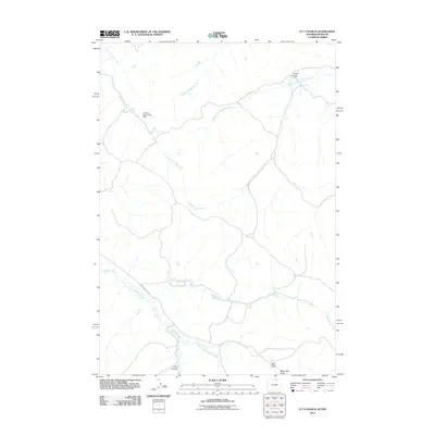 2011 O T O Ranch2011 Print · USGSSheridan County ranching country is shown here at the start of the decade, revealing a landscape of remote homesteads and seasonal watercourses. Researchers can trace land use through the Seventy-seven Ranch and find named landmarks like Fordyce Deer Creek Dam and Four X Draw.
 - 2011 Map of Little Bear Creek, 2011 Print
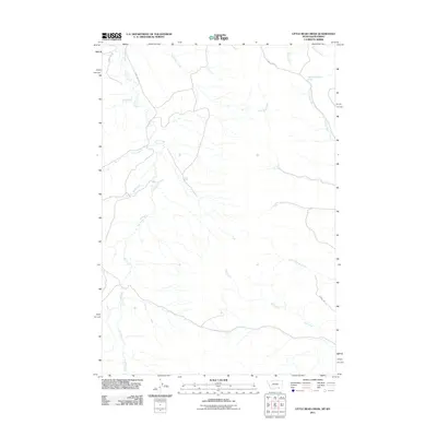 2011 Little Bear Creek2011 Print · USGSSheridan County's border with Montana is captured here in the early 2010s, showing a remote landscape shaped by the basins of Owl Creek and Little Bear Creek. Researchers can trace rural routes like County Rd 125 and locate specific water sources such as the 08S37E26ACAC01 Spring.
 - 2011 Map of Acme, 2011 Print
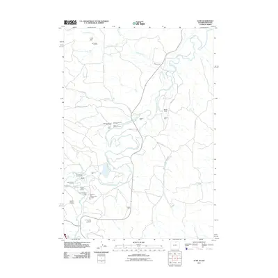 2011 Acme2011 Print · USGSThe industrial corridor of northern Wyoming is captured here in the early 2000s, showing a landscape shaped by coal and stone extraction along the Tongue River. Genealogists and industrial historians can trace specific operations like the Big Horn Mine, New Acme Mine, and the Hotchkiss Number Two Mine.
 - 2011 Map of Cabin Creek NE, 2011 Print
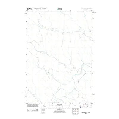 2011 Cabin Creek NE2011 Print · USGSThe Powder River basin at the turn of the decade reveals a landscape of energy extraction and high plains drainage. Researchers can trace the development of the Fence Creek Oil Field and geographic landmarks like Hells Half Acre Canyon and the Ford Number 1 Dam.
 - 2011 Map of Willow Creek Dam SW, 2011 Print
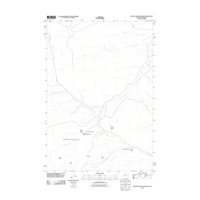 2011 Willow Creek Dam SW2011 Print · USGSSheridan County's high-elevation drainage systems and canyon lands are captured here during the early twenty-first century. Researchers can trace the path of Lodge Grass Canyon and identify remote landmarks like The Mesa and The Beaver Slide.
 - 2011 Map of Red Springs, 2011 Print
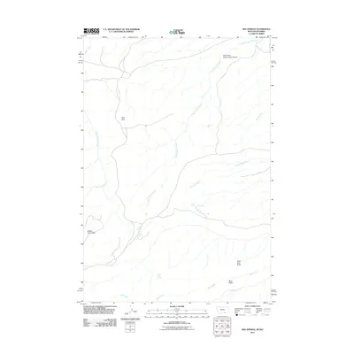 2011 Red Springs2011 Print · USGSThe high ridges along the Montana-Wyoming border appear in great detail during the early twenty-first century. Researchers can trace the paths of Rotten Grass Creek and find specific landmarks like Aspen Grove Cabin, Red Springs, and Tepee Pole Ridge.
 - 2011 Map of Bear Hole, 2011 Print
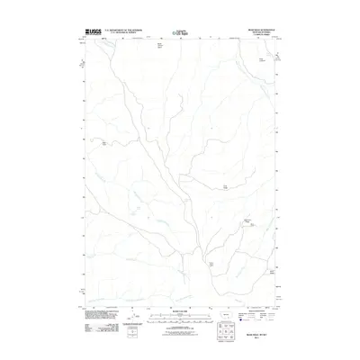 2011 Bear Hole2011 Print · USGSSheridan County's high ridges and spring-fed creeks are documented in detail during the early twenty-first century. Researchers can trace remote landmarks like Black Cabin and vantage points including Windy Point Lookout or Point Lookout.
 - 2012 Map of Walker Mountain, 2012 Print
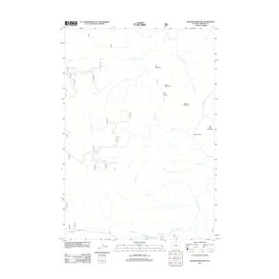 2012 Walker Mountain2012 Print · USGSHigh-altitude grazing lands and timbered ridges characterize this Sheridan County landscape in the early 2010s. Researchers can locate remote sites like the Quartz Creek Cow Camp and trace the alpine drainages of Sawmill Lake and Walker Prairie.
 - 2012 Map of Little Goose Peak, 2012 Print
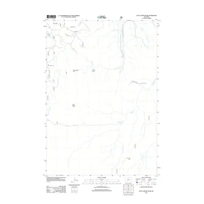 2012 Little Goose Peak2012 Print · USGSThe high Big Horn Mountains of Sheridan County are captured here in the early twenty-first century, showing a landscape of ranching camps and vital water diversions. Trace the paths of mountain life through the Gallatin Cow Camp, the Little Goose Campground, and the high-altitude Poverty Flat.
 - 2012 Map of Beckton, 2012 Print
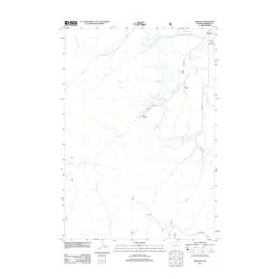 2012 Beckton2012 Print · USGSSheridan County ranching country is shown here in the early twenty-first century, centered on the settlement of Beckton. Researchers can trace old irrigation systems like Ditch Number 9 and find local landmarks such as Red Canyon and Carr Cabin.
 - 2012 Map of Leavitt Reservoir, 2012 Print
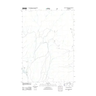 2012 Leavitt Reservoir2012 Print · USGSSheridan County ranching country and the foothills of the Bighorn Mountains are captured here in the early twenty-first century. Researchers can trace land use and water management through labels like Leavitt Ranch, the London Ditch, and Hunt Mountain.
 - 2012 Map of Park Reservoir, 2012 Print
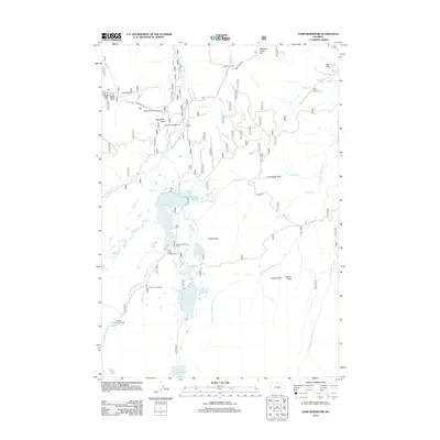 2012 Park Reservoir2012 Print · USGSSheridan County's high-mountain reservoirs and seasonal resorts are documented here during the early 21st century. Researchers can trace remote alpine landmarks like Spear-O-Wigwam Resort, the historic Tepee Lodge, and the engineering of the Peralta Ditch.
 - 2012 Map of Dayton North, 2012 Print
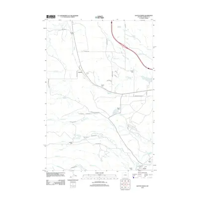 2012 Dayton North2012 Print · USGSSheridan County ranching and water rights take center stage in this early 21st-century survey of the plains north of Dayton. Researchers can trace the extensive irrigation networks of Fivemile Ditch and the boundaries of storied holdings like Bear Claw Ranch and Padlock Ranch.
 - 2012 Map of Wolf, 2012 Print
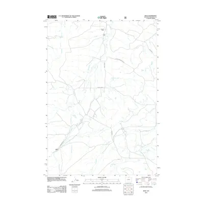 2012 Wolf2012 Print · USGSSheridan County ranching country is captured here in the early twenty-first century, showing a landscape shaped by water rights and mountain runoff. Genealogists and local historians can trace the irrigation systems and homestead routes surrounding Wolf and the P K Ranch, including Old Reliable Ditch and Eaton Ranch Rd.
Showing maps 1-25 of 206
Top cities of Sheridan County
Frequently asked questions
- What are the different types of historical maps available for Sheridan County?
- What is the oldest map of Sheridan County?
- Where can I purchase historical maps of Sheridan County for my home or office?
- Where can I download high-res historical maps of Sheridan County?
- Are there historical topographic maps available for Sheridan County?
- Is there historical aerial imagery available for Sheridan County?
- Where are historical maps of Sheridan County sourced from?