2020s Maps of Sublette County, Wyoming
Explore 111 historic maps of Sublette County from the 2020s. These maps offer a rare glimpse into what life looked like during the 2020s — showing old roads, neighborhoods, homes, and landmarks that have changed or disappeared over time.
Whether you're researching your family's past, planning a metal detecting trip, or studying how Sublette County's landscape evolved across the 2020s, these high-resolution maps are a powerful tool for exploring the history of this region.
- Focus on a specific era: All maps on this page are from the 2020s, giving you a focused view of this time period.
- See what’s changed: Compare century-old streets, trails, and buildings to today's modern landscape using overlays and satellite layers.
- Research with precision: Use these maps for genealogy, historical research, land use analysis, or educational projects.
- View, download, or print: Maps are fully viewable online in high resolution, and can be downloaded or printed for your own records.
Start exploring Sublette County's history through authentic maps from the 2020s. This is your window into the past.
Sublette County, WY maps
(111)- 2021 Map of Temple Peak, 2021 Print
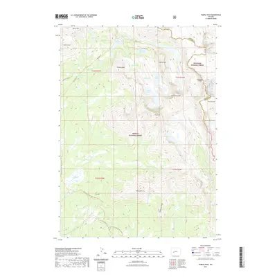 2021 Temple Peak2021 Print · USGSThe high alpine terrain of the Wind River Range is meticulously detailed in this recent survey of the Continental Divide. Backcountry travelers and geographers can trace the paths of the Continental Divide National Scenic Trail past landmarks like Temple Peak and Big Sandy Lake.
 - 2021 Map of Teakettle Butte, 2021 Print
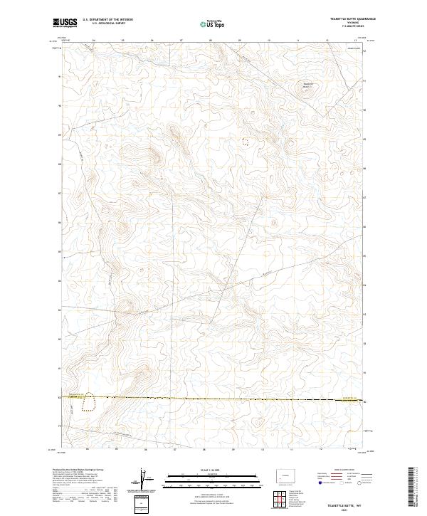 2021 Teakettle Butte2021 Print · USGSUpper Wyoming's high plateau at the start of the 2020s remains a landscape of historical migration and sparse development. Historians can trace the California-Oregon Trl as it crosses the county line near Teakettle Butte and Jonah Gulch.
 - 2021 Map of Sugar Loaf, 2021 Print
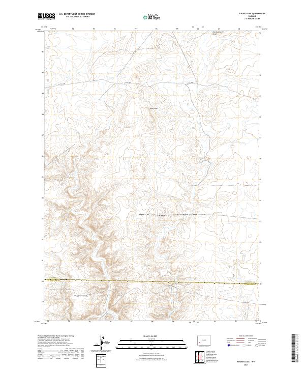 2021 Sugar Loaf2021 Print · USGSCrossing through Sublette and Sweetwater counties in the early twenty-first century, this map documents a landscape defined by the historic California-Oregon Trl. Trace the path of early pioneers past landmarks like Sugar Loaf and modern access routes including Yellow Point Rd.
 - 2021 Map of Mesa Spring, 2021 Print
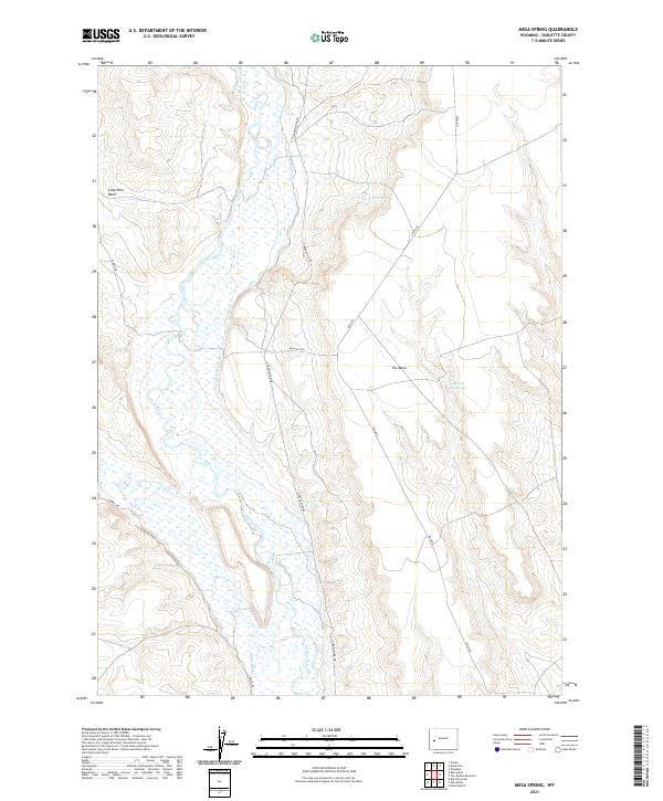 2021 Mesa Spring2021 Print · USGSSublette County's river-bottom lands and high plateaus appear here in the early twenty-first century. Researchers can trace historic irrigation networks like Luman Ditch and Harman Ditch along the banks of the Green River.
 - 2021 Map of Ross Butte, 2021 Print
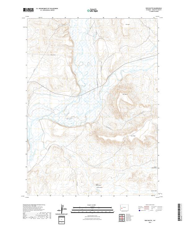 2021 Ross Butte2021 Print · USGSSublette County ranch lands and river confluences are documented here in the early twenty-first century. Researchers can trace intricate irrigation networks like Hanna Ditch and Sheep Ditch while locating the Olsen Ranch near the Ross Butte foothills.
 - 2021 Map of Raid Lake, 2021 Print
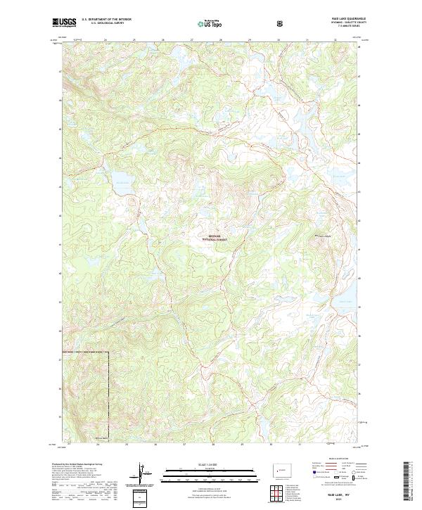 2021 Raid Lake2021 Print · USGSHigh-elevation alpine lakes and backcountry trails define this 2021 survey of the Wind River Range. Trace the Continental Divide National Scenic Trail past landmarks like Mitchells Nipple and through the Bridger National Forest.
 - 2021 Map of Sugar Loaf NW, 2021 Print
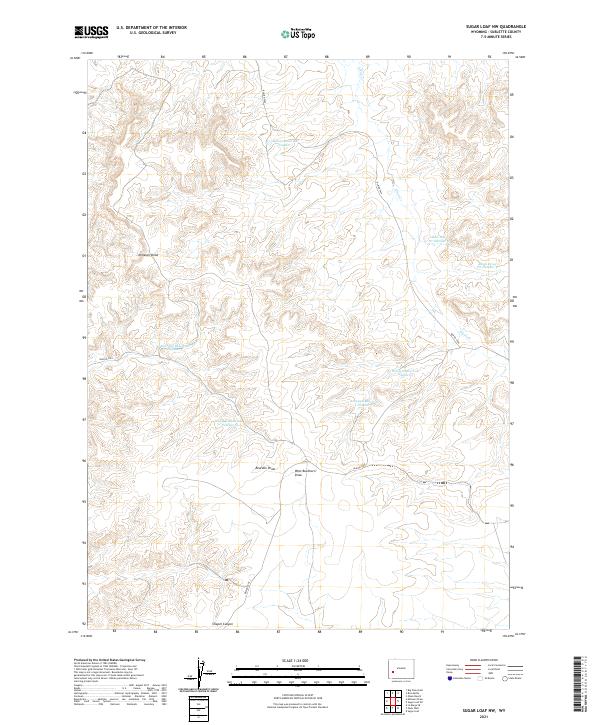 2021 Sugar Loaf NW2021 Print · USGSSublette County's ranching and industrial landscape is captured here in the early twenty-first century. Researchers can trace land use through features like Wardell Reservoir Number 6, Alkali Draw Pit Number 3, and Chapel Canyon.
 - 2021 Map of Fayette Lake, 2021 Print
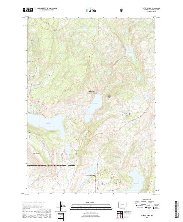 2021 Fayette Lake2021 Print · USGSBridger National Forest is shown in contemporary detail during the early 2020s, revealing a pristine wilderness of alpine lakes and mountain peaks. Outdoor researchers can trace an intricate network of trails including the Fayette Lake Trl, Sweeney Creek Trl, and Half Moon Trl.
 - 2021 Map of Prospect Peak, 2021 Print
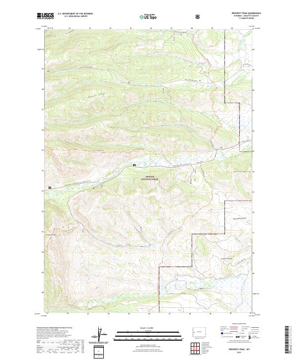 2021 Prospect Peak2021 Print · USGSSublette County's high-altitude forest lands are documented here in the early twenty-first century, showing a landscape defined by ridgelines and traditional trails. Trace historic routes like the Old Indian Trail and search for landmarks such as Prospect Peak and Jewett Pinnacle.
 - 2021 Map of Roberts Mountain, 2021 Print
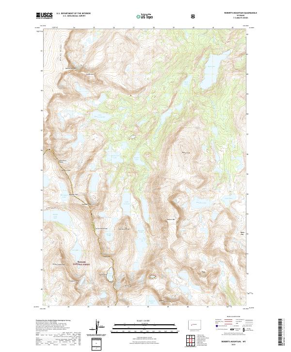 2021 Roberts Mountain2021 Print · USGSThe high Wind River Range is captured in this recent survey, tracing the Continental Divide through Bridger National Forest. Hikers and researchers can plot routes to Lake Solitude, Kagevah Pass, and the summit of Mt Lander.
 - 2021 Map of Horseshoe Lake, 2021 Print
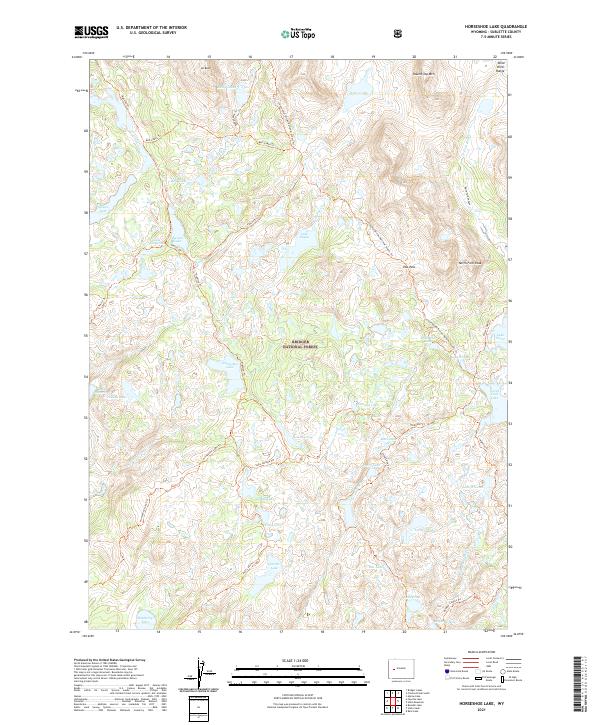 2021 Horseshoe Lake2021 Print · USGSThe high alpine wilderness of Sublette County is documented here in the early twenty-first century. Trekkers and historians can trace the Continental Divide National Scenic Trail past Hat Pass, Horseshoe Lake, and the landmark known as The Ruin.
 - 2021 Map of The Hogsback, 2021 Print
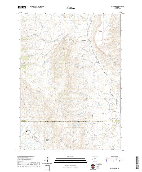 2021 The Hogsback2021 Print · USGSThe high ridges of Sublette County come into focus in this recent survey of the Hogsback region. Genealogists and industrial historians can trace the Viola-LaBarge Cem, the outpost of Calpet, and remote extraction sites like the Salli Mine.
 - 2021 Map of Webb Draw, 2021 Print
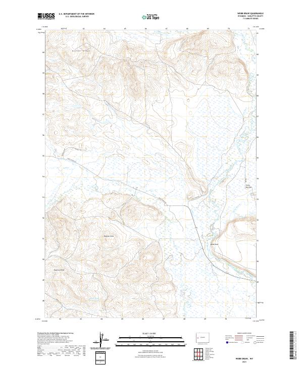 2021 Webb Draw2021 Print · USGSSublette County ranching country is mapped here in the early twenty-first century, showing the area's vital water systems. Researchers can trace historic irrigation and family landmarks like Scott Ditch, Shannon Point, and Forty Rod Flat.
 - 2021 Map of Big Piney East, 2021 Print
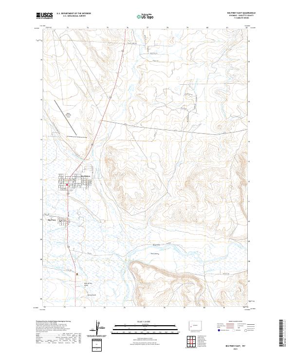 2021 Big Piney East2021 Print · USGSThe high plains of Sublette County appear in detail as they were in the early twenty-first century, showing the neighboring ranching towns of Big Piney and Marbleton. Researchers can trace the extensive network of historic water rights through labels like O'Neil Ditch, Highline Canal, and the landmarks surrounding Ferry Island.
 - 2021 Map of Merna, 2021 Print
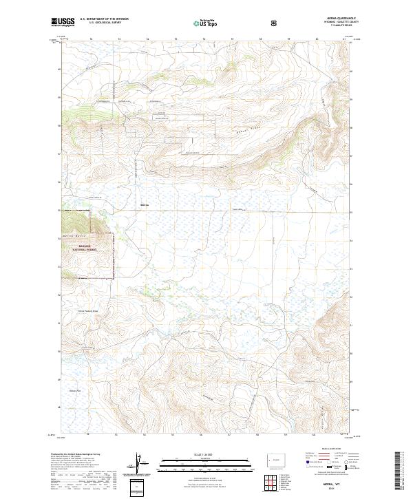 2021 Merna2021 Print · USGSThe settlement of Merna and the eastern edge of the Bridger National Forest are shown in the early twenty-first century. Family and local historians can trace the rural road network and drainage patterns across Beaver Ridge, Merna Butte, and Haines Flat.
 - 2021 Map of Milleson Draw, 2021 Print
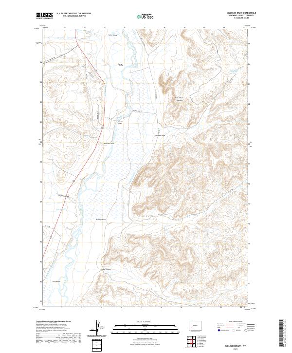 2021 Milleson Draw2021 Print · USGSThe Green River valley in Sublette County comes alive in this contemporary record of ranching and irrigation history. Researchers can trace the network of the Highline Canal and Whitewater Ditch, or locate landmarks like Fivemile Bridge and Castle Rock Red Hill.
 - 2021 Map of Juel Spring, 2021 Print
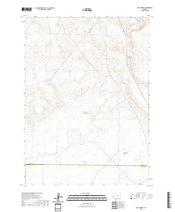 2021 Juel Spring2021 Print · USGSThe high plains of Sublette County meet the Sweetwater County line in this recent survey of the Big Sandy River valley. Tracing the river's path, you can locate important water sources like Juel Spring and landmarks such as Sublettes Flat and Jonah Gulch.
 - 2021 Map of Onion Springs, 2021 Print
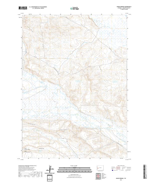 2021 Onion Springs2021 Print · USGSSublette County ranching country is mapped here in the early twenty-first century, showcasing a landscape defined by vital water management. Trace the legacy of high-country irrigation through Last Chance Ditch, Onion Springs, and Jewett Red Flat Reservoir.
 - 2021 Map of Cora, 2021 Print
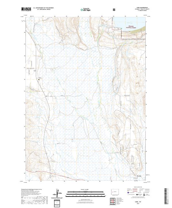 2021 Cora2021 Print · USGSSublette County ranching and wilderness come together in this 2021 study of the upper Green River valley. Researchers can trace irrigation history through the Highline Ditch network or locate family roots at Westfall - Cora Cem and Cora.
 - 2021 Map of Lake Mountain, 2021 Print
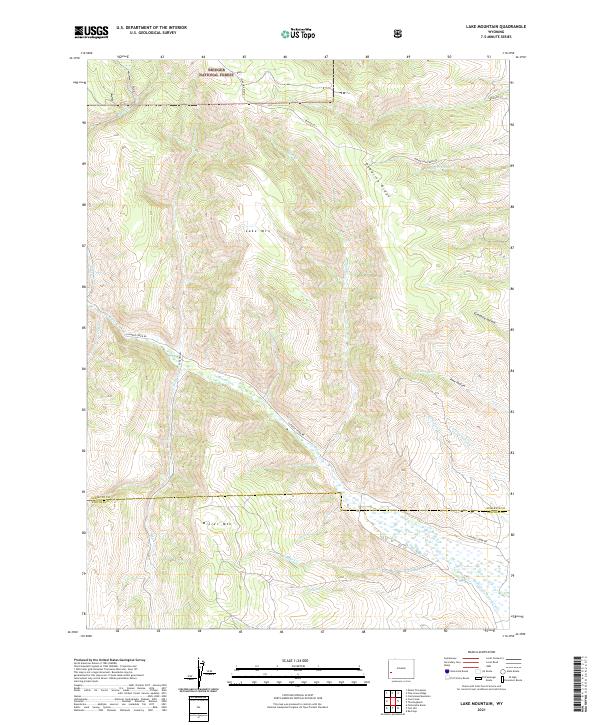 2021 Lake Mountain2021 Print · USGSHigh desert ridges and the northern reaches of the Bridger National Forest characterize this region at the start of the 2020s. Researchers can trace the path of La Barge Creek Road and locate landmarks like Lake Mountain and the Anderson Howard Canal.
 - 2021 Map of Hay Meadow Reservoir, 2021 Print
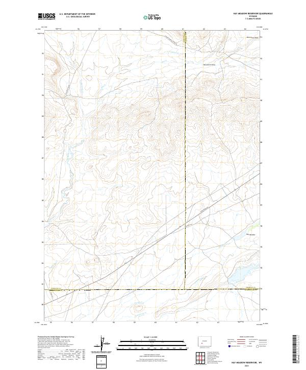 2021 Hay Meadow Reservoir2021 Print · USGSThe high plains of Sublette and Fremont counties are captured in the early 2020s, showing a landscape defined by historic transit routes. Trace the path of the Emigrant Trl and Lander Pinedale Stage Rd as they cross Dry Sandy Creek.
 - 2021 Map of Jensen Meadows, 2021 Print
 2021 Jensen Meadows2021 Print · USGSSublette County, Wyoming, is shown in the early 2020s as a landscape defined by high-altitude meadows and historic overland routes. Genealogists and historians can trace the paths of the Lander Cutoff Rd and the Elkhorn Cutoff Rd near the Continental Divide.
 - 2021 Map of Leckie SW, 2021 Print
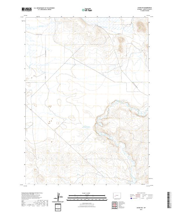 2021 Leckie SW2021 Print · USGSThe high-desert terrain of Sublette County comes alive in the early twenty-first century, showcasing the vital water networks of the Big Sandy River. Researchers can trace the winding paths of Muddy Cr and local routes like Big Sandy South Rd.
 - 2021 Map of Fremont Lake South, 2021 Print
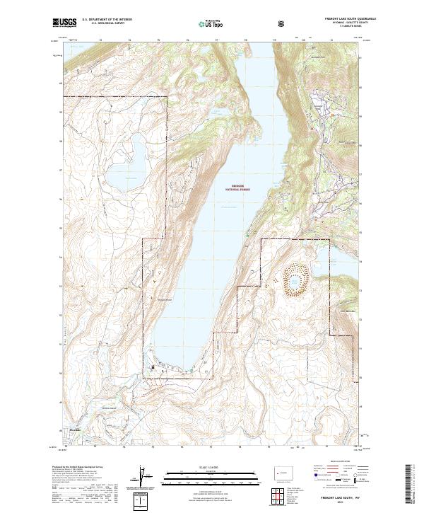 2021 Fremont Lake South2021 Print · USGSThe Sublette County high country near Pinedale is documented here as it appeared in recent years, centered on the expansive waters of Fremont Lake. Researchers can trace the local water infrastructure via the Fremont Ditch or explore the trail networks winding through Surveyor Park and the slopes of Fortification Mtn.
 - 2021 Map of Oasis Well, 2021 Print
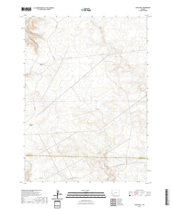 2021 Oasis Well2021 Print · USGSCrossing the Sublette and Sweetwater county line in the early twenty-first century, this map documents a high-desert landscape shaped by historic migration. Trace the path of the California-Oregon Trl alongside modern landmarks like Oasis Well and Slate Cr.
Showing maps 1-25 of 111
Top cities of Sublette County
Frequently asked questions
- What are the different types of historical maps available for Sublette County?
- What is the oldest map of Sublette County?
- Where can I purchase historical maps of Sublette County for my home or office?
- Where can I download high-res historical maps of Sublette County?
- Are there historical topographic maps available for Sublette County?
- Is there historical aerial imagery available for Sublette County?
- Where are historical maps of Sublette County sourced from?