2010s Maps of Sublette County, Wyoming
Explore 321 historic maps of Sublette County from the 2010s. These maps offer a rare glimpse into what life looked like during the 2010s — showing old roads, neighborhoods, homes, and landmarks that have changed or disappeared over time.
Whether you're researching your family's past, planning a metal detecting trip, or studying how Sublette County's landscape evolved across the 2010s, these high-resolution maps are a powerful tool for exploring the history of this region.
- Focus on a specific era: All maps on this page are from the 2010s, giving you a focused view of this time period.
- See what’s changed: Compare century-old streets, trails, and buildings to today's modern landscape using overlays and satellite layers.
- Research with precision: Use these maps for genealogy, historical research, land use analysis, or educational projects.
- View, download, or print: Maps are fully viewable online in high resolution, and can be downloaded or printed for your own records.
Start exploring Sublette County's history through authentic maps from the 2010s. This is your window into the past.
Sublette County, WY maps
(321)- 2012 Map of Big Sandy Opening, 2012 Print
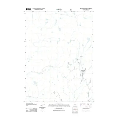 2012 Big Sandy Opening2012 Print · USGSSublette County at the start of the 2010s reveals a high-country landscape shaped by seasonal recreation and complex waterways. Researchers can trace the layout of the Temple Creek Summer Home Area and locate remote sites like Big Sandy Lodge and Johnson Lake.
 - 2012 Map of Gobblers Knob, 2012 Print
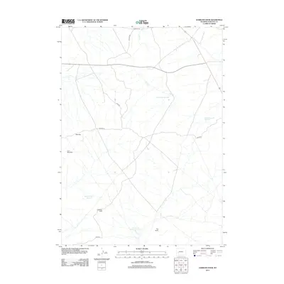 2012 Gobblers Knob2012 Print · USGSSublette County, Wyoming, is shown in the early 2010s, revealing a landscape defined by historic trails and water management. Researchers can trace the path of the Emigrant Trl and locate remote features like Gobblers Knob and Cacklin Lou Reservoir.
 - 2012 Map of Temple Peak, 2012 Print
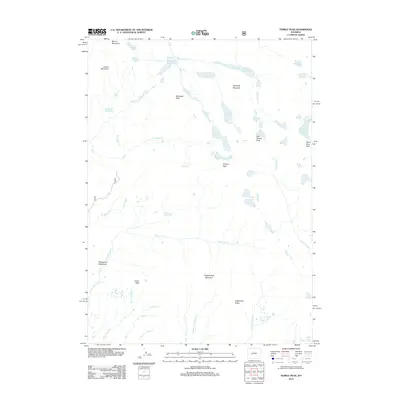 2012 Temple Peak2012 Print · USGSHigh alpine summits and glacial lakes define this Wyoming wilderness in the early twenty-first century. Researchers can trace the source of the Big Sandy River and locate remote landmarks like Wind River Peak, Temple Lake, and Sedgewick Meadows.
 - 2012 Map of Cora, 2012 Print
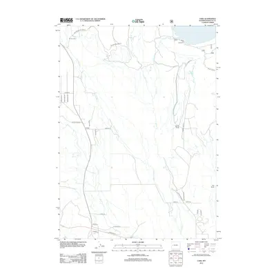 2012 Cora2012 Print · USGSUpper Sublette County ranching country is captured here during the early twenty-first century, showing the lands surrounding the Cora post office. Genealogists and local historians can trace the bounds of Bar Cross Ranch or locate the shoreline Willow Lake Campground.
 - 2012 Map of Oasis Well, 2012 Print
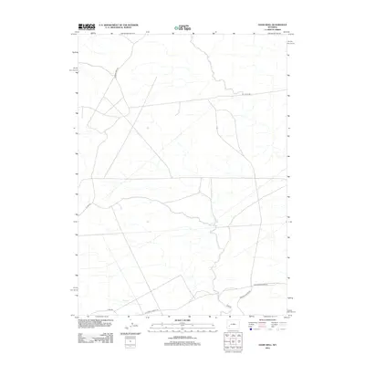 2012 Oasis Well2012 Print · USGSSweetwater County's high-desert terrain is shown here in the early twenty-first century, centered on the intersection of historic transit and modern ranching roads. Trace the path of the California-Oregon Trl as it crosses Slate Cr and Monument Butte Rd.
 - 2012 Map of Juel Spring, 2012 Print
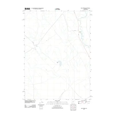 2012 Juel Spring2012 Print · USGSSweetwater County in the early twenty-first century is a landscape of high-desert drainages and vital water points. Researchers can trace the path of the Big Sandy River or locate the remote North Sublette Meadow Spring and Juel Reservoir.
 - 2012 Map of Tabernacle Butte, 2012 Print
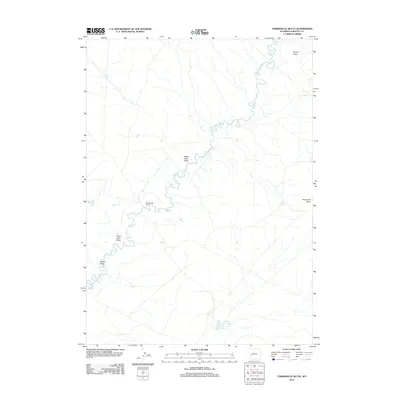 2012 Tabernacle Butte2012 Print · USGSSublette County ranching country and the High Desert landscape are captured here in the early twenty-first century. Genealogists and local historians can trace the Big Sandy River past Erramouspe Ranch and identify landmarks like Poston Reservoir and Tabernacle Butte.
 - 2012 Map of Jensen Meadows, 2012 Print
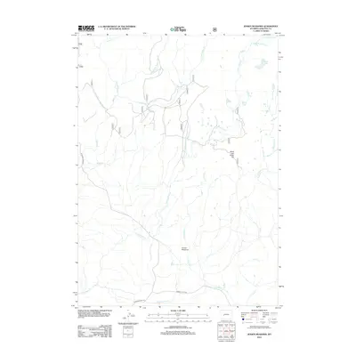 2012 Jensen Meadows2012 Print · USGSSublette County ranching and trail history are preserved in this early twenty-first-century survey of the high meadows. Historians can trace the intersection of the Lander Cutoff Rd and Elkhorn Cutoff Rd near the Jensen Meadows settlement.
 - 2012 Map of Halls Mountain, 2012 Print
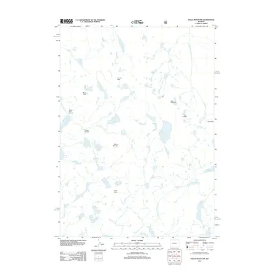 2012 Halls Mountain2012 Print · USGSThe Wyoming high country in the early twenty-first century is revealed here through its network of alpine peaks and glacial basins. Trace the rugged terrain surrounding Halls Mountain, the granite spires of the Pipe Organ, and the waters of Lake Isabella.
 - 2012 Map of Stud Horse Butte, 2012 Print
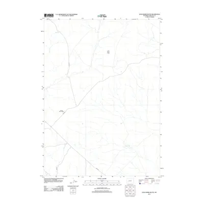 2012 Stud Horse Butte2012 Print · USGSSublette County at the start of the 2010s reveals a high-desert landscape shaped by federal land management and sparse water sources. Genealogists and historians can trace the network of access roads like BLM 5410 and landmarks such as Stud Horse Butte or the Jonah Reservoir.
 - 2012 Map of Fremont Butte, 2012 Print
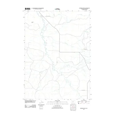 2012 Fremont Butte2012 Print · USGSThe High Plains of Sublette County appear in the early 2010s as a landscape of ranching roads and complex river systems. Local historians and genealogists can trace family landmarks and early community sites along Silver Creek Cemetery Rd, Mathis Ln, and the Lander Cutoff Reservoir.
 - 2012 Map of Pocket Creek Lake, 2012 Print
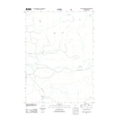 2012 Pocket Creek Lake2012 Print · USGSBig Sandy and the surrounding Sublette County high country are captured here in the early twenty-first century. Researchers can trace remote ranching outposts like Wheeler Ranch and navigate the corridors of Chimney Butte Rd and the E Fork River.
 - 2012 Map of Fayette Lake, 2012 Print
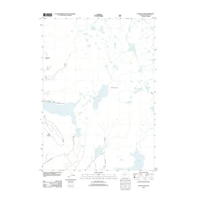 2012 Fayette Lake2012 Print · USGSThe high alpine basins of Sublette County are captured here in the early twenty-first century, showing a landscape defined by glacial lakes and granite peaks. Researchers can trace remote routes like Burnt Lake Road to landmarks such as Blacks Cabin, Ponderosa Lodge, and Half Moon Mountain.
 - 2012 Map of Mount Airy, 2012 Print
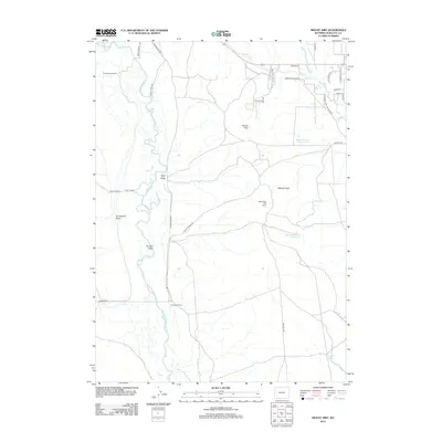 2012 Mount Airy2012 Print · USGSThe confluence of the Green and New Fork Rivers dominates this Sublette County landscape in the early twenty-first century. Researchers can trace historic ranch boundaries and water rights through landmarks like Sommers Ranch, the Mount Airy Drift Fence, and Dry Lake Reservoir.
 - 2012 Map of Pinedale, 2012 Print
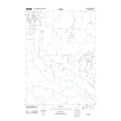 2012 Pinedale2012 Print · USGSPinedale and its surrounding high-plains landscape are documented here in the early twenty-first century. Genealogists and researchers can trace the town’s residential expansion and locate specific sites like Plainview Cem and Ralph Wenz Field Airport.
 - 2012 Map of Two Buttes Reservoir, 2012 Print
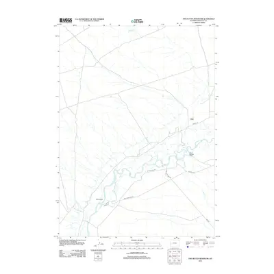 2012 Two Buttes Reservoir2012 Print · USGSThe river systems of Sublette County are captured here in the early twenty-first century as they wind through a landscape of high-desert ranching. Researchers can trace the intricate channels of Mack Island and the rural reaches of Wild Horse Ranch Rd and Paradise Rd.
 - 2012 Map of Fremont Lake South, 2012 Print
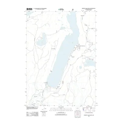 2012 Fremont Lake South2012 Print · USGSSurrounding the southern reaches of the Wind River Range, this area shows a landscape defined by glacial lakes and mountain recreation. Trace the development of early seasonal communities at Sylvan Bay Summer Home Area and recreation at Lakeside Lodge.
 - 2012 Map of Roberts Mountain, 2012 Print
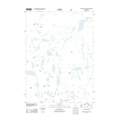 2012 Roberts Mountain2012 Print · USGSThe high alpine wilderness of the Wind River Range is captured here in the early twenty-first century, showcasing a vast network of glacial lakes and peaks. Hikers and cartographic researchers can trace routes through Kagevah Pass or locate remote waters like Lake Solitude and Raft Lake.
 - 2012 Map of Mesa Spring, 2012 Print
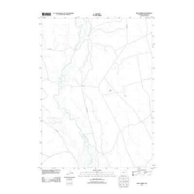 2012 Mesa Spring2012 Print · USGSThe Green River basin in Sublette County appears in the early twenty-first century as a landscape of river meanders and high plateaus. Researchers can trace the winding Green River and the rural network of Luman Rd, Chapel Rd, and the remote Mesa Spring.
 - 2012 Map of Sweetwater Gap, 2012 Print
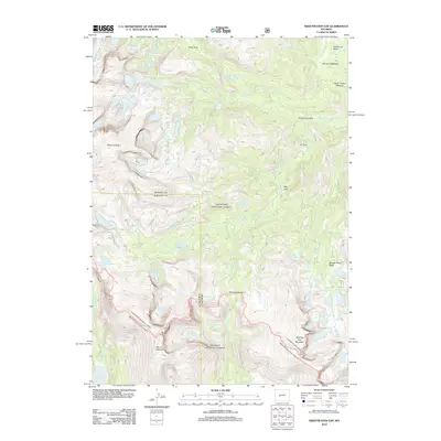 2012 Sweetwater Gap2012 Print · USGSHigh in the Wyoming backcountry during the early twenty-first century, this area marks a significant drainage divide at the Sweetwater Gap. Researchers can trace the alpine headwaters of the Sweetwater River and locate remote landmarks like Mount Nystrom and Chimney Rock.
 - 2012 Map of Boulder, 2012 Print
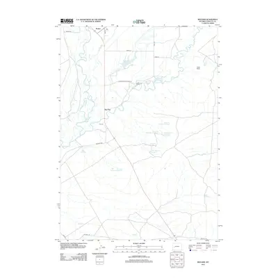 2012 Boulder2012 Print · USGSSublette County ranching and water management are on display in this 2012 survey of the high plains. Researchers can trace the path of the Emigrant Trl and locate family landmarks like the Vible Cem or the Boulder Fish Hatchery.
 - 2012 Map of Leckie Reservoir, 2012 Print
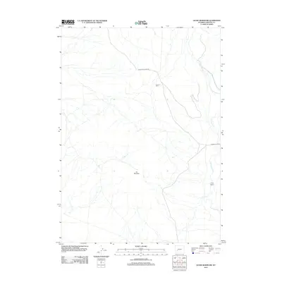 2012 Leckie Reservoir2012 Print · USGSHigh-desert ranching and drainage patterns in Sublette County are documented in this modern survey. Genealogists and historians can locate the Arambel Ranch and trace the paths of Little Sandy Cr and Big Sandy Elkhorn Rd across the landscape.
 - 2012 Map of Sugar Loaf NE, 2012 Print
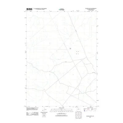 2012 Sugar Loaf NE2012 Print · USGSSublette County, Wyoming, is shown in the early twenty-first century as a land of expansive drainage systems and remote bureau roads. Researchers can trace the path of Alkali Cr and identify rural access routes such as Burma Rd and Yellow Point Rd.
 - 2012 Map of Raid Lake, 2012 Print
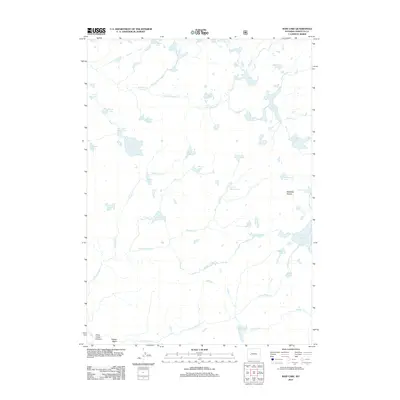 2012 Raid Lake2012 Print · USGSSublette County, Wyoming, is shown here as a high-country wilderness in the early twenty-first century. Researchers can trace the complex alpine hydrology connecting Raid Lake and Dream Lake or locate landmarks like Mitchells Nipple.
 - 2012 Map of Mount Bonneville, 2012 Print
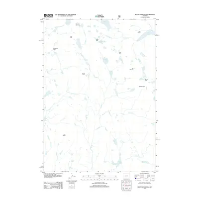 2012 Mount Bonneville2012 Print · USGSThe Wind River Range back-country comes into focus in this 2012 survey, revealing a high-altitude wilderness of granite peaks and glacial lakes. Trace the paths across Washakie Pass or locate remote water bodies like Grave Lake and the Hooker Glacier.
Showing maps 1-25 of 321
Top cities of Sublette County
Frequently asked questions
- What are the different types of historical maps available for Sublette County?
- What is the oldest map of Sublette County?
- Where can I purchase historical maps of Sublette County for my home or office?
- Where can I download high-res historical maps of Sublette County?
- Are there historical topographic maps available for Sublette County?
- Is there historical aerial imagery available for Sublette County?
- Where are historical maps of Sublette County sourced from?