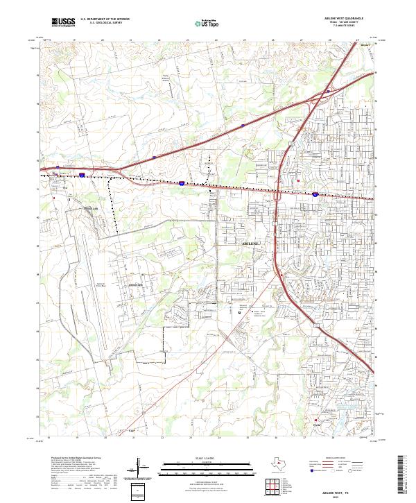
2022 Map of Abilene West
USGS Topo · Published 2022About this map
Dyess Air Force Base dominates the western landscape of this Taylor County region, serving as a massive structural anchor for the suburban expansion of Abilene. The map reveals a transition from dense residential grids to military and industrial zones, characterized by the extensive facilities at the base and the commercial hub of the Mall of Abilene to the southeast. Transport corridors like the Pacific RR and the Interstate system dictate the flow of the modern city, while smaller outlying communities like Impact, Tye, and Wylie retain their distinct footprints on the periphery.
Find a feature on this map
155 named features on this map. Tap any name to fly to it.
Don’t see what you’re looking for? This feature index may not catch every label — zoom into the map to look around manually.
Map Details
Editions of this 2022 Abilene West Map
This is the sole edition of this map. No revisions or reprints were ever made.
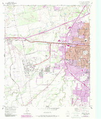
Historical Maps of Meadows Mobile Home Park Through Time
16 maps found
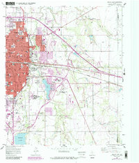
1957 Abilene East
Taylor County, TX
1957 Abilene West
Taylor County, TX
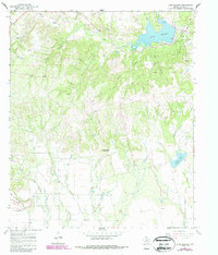
1967 Lake Abilene
Taylor County, TX
1967 Shep
Taylor County, TX
1984 Merkel East
Taylor County, TX
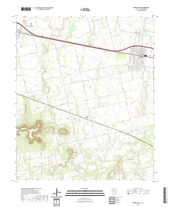
1984 Merkel West
Taylor County, TX
1984 Mountain Pass
Taylor County, TX
1984 View
Taylor County, TX
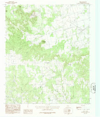
2022 Abilene East
Taylor County, TX
2022 Abilene West
Taylor County, TX
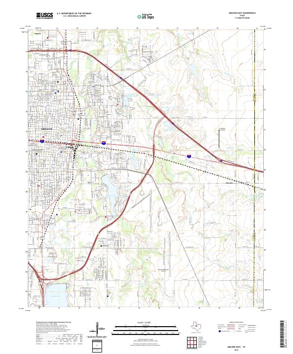
2022 Lake Abilene
Taylor County, TX
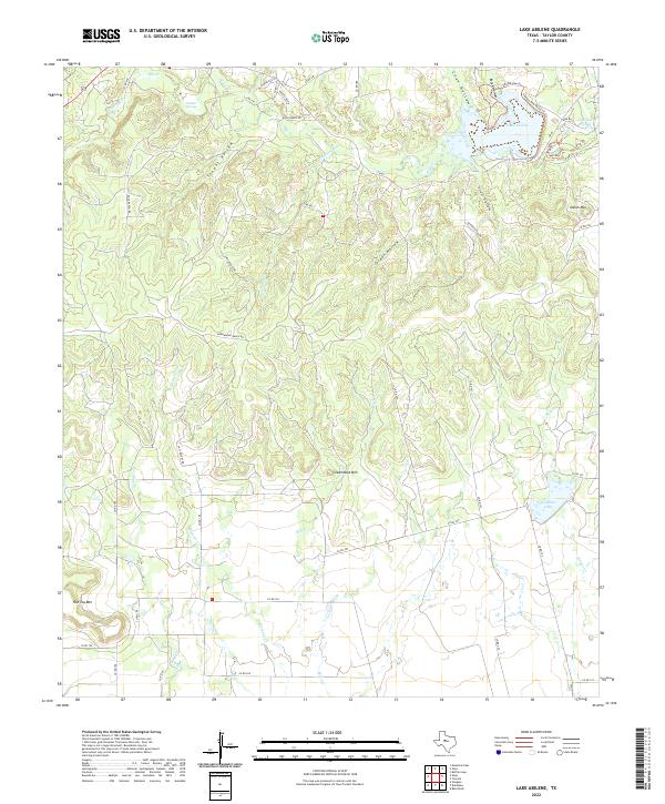
2022 Merkel East
Taylor County, TX
2022 Merkel West
Taylor County, TX
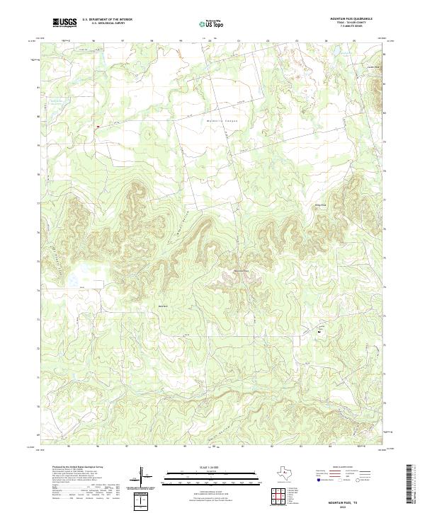
2022 Mountain Pass
Taylor County, TX
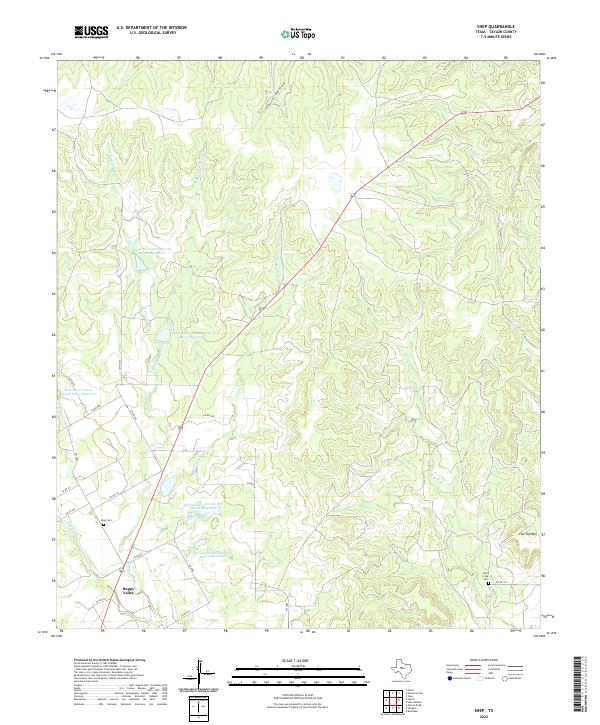
2022 Shep
Taylor County, TX
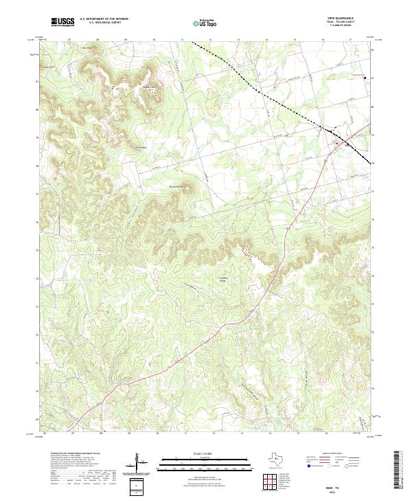
2022 View
Taylor County, TX