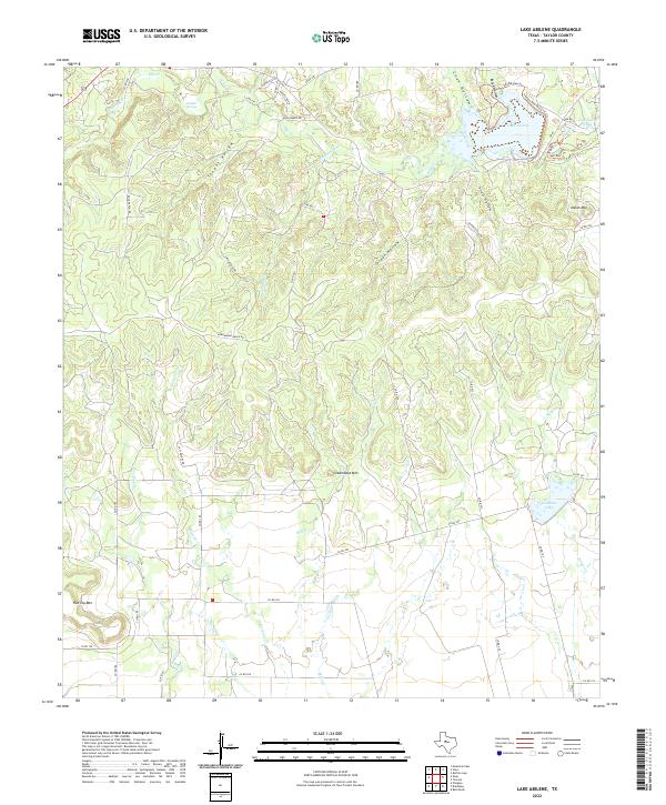
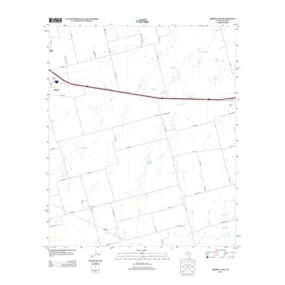
2022 Map of Lake Abilene
USGS Topo · Published 2022About this map
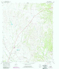
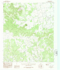
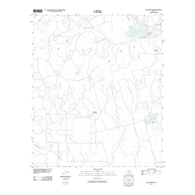
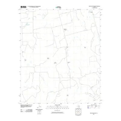
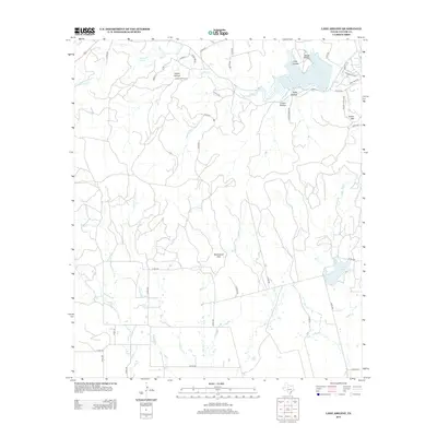
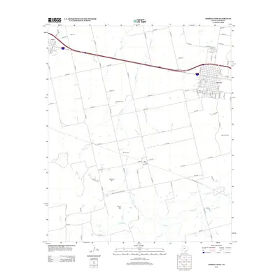
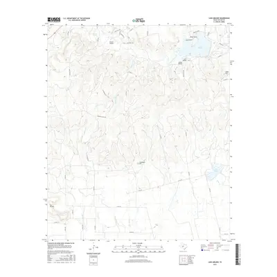
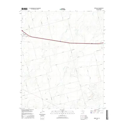
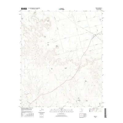
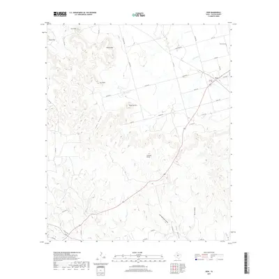
Lake Abilene anchors the northern portion of this landscape in Taylor County, where the terrain breaks into a series of deeply etched drainages and prominent rises. The map reveals a complex network of canyons and draws including Jordan Hollow, Tenant Hollow, and Coon Hollow, which channel seasonal water toward Elm Creek. Distinctive topographic landmarks such as Steamboat Mtn and Flat Top Mtn rise above the surrounding creek beds, providing clear points of orientation for the ranchlands below. Movement through the area is defined by a mix of established routes like FM 89 and private access ways such as Heinze Ranch Rd and Arrowhead Ranch Rd. To the south, Graham Lake and the various branches of Elmont Cr illustrate the hydrological patterns that have long dictated settlement and land use in this part of West Texas.
Find a feature on this map
54 named features on this map. Tap any name to fly to it.
Don’t see what you’re looking for? This feature index may not catch every label — zoom into the map to look around manually.
Map Details
Editions of this 2022 Lake Abilene Map
This is the sole edition of this map. No revisions or reprints were ever made.
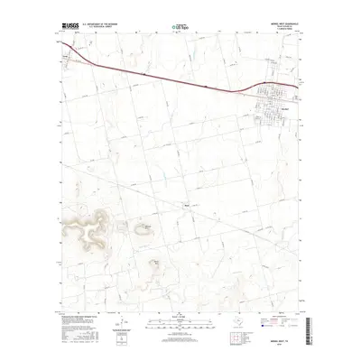
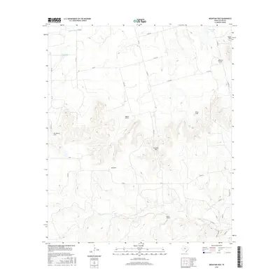
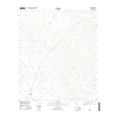
Historical Maps of Taylor County Through Time
48 maps found
1957 Abilene East
Taylor County, TX
1957 Abilene West
Taylor County, TX
1967 Lake Abilene
Taylor County, TX
1967 Shep
Taylor County, TX
1984 Merkel East
Taylor County, TX
1984 Merkel West
Taylor County, TX
1984 Mountain Pass
Taylor County, TX
1984 View
Taylor County, TX
2010 Abilene East
Taylor County, TX
2010 Abilene West
Taylor County, TX
2010 Lake Abilene
Taylor County, TX
2010 Merkel East
Taylor County, TX
2010 Merkel West
Taylor County, TX
2010 Mountain Pass
Taylor County, TX
2010 Shep
Taylor County, TX
2010 View
Taylor County, TX
2012 Abilene East
Taylor County, TX
2012 Abilene West
Taylor County, TX
2012 Lake Abilene
Taylor County, TX
2012 Merkel East
Taylor County, TX
2012 Merkel West
Taylor County, TX
2012 Mountain Pass
Taylor County, TX
2012 Shep
Taylor County, TX
2012 View
Taylor County, TX
2016 Abilene East
Taylor County, TX
2016 Abilene West
Taylor County, TX
2016 Lake Abilene
Taylor County, TX
2016 Merkel East
Taylor County, TX
2016 Merkel West
Taylor County, TX
2016 Mountain Pass
Taylor County, TX
2016 Shep
Taylor County, TX
2016 View
Taylor County, TX
2019 Abilene East
Taylor County, TX
2019 Abilene West
Taylor County, TX
2019 Lake Abilene
Taylor County, TX
2019 Merkel East
Taylor County, TX
2019 Merkel West
Taylor County, TX
2019 Mountain Pass
Taylor County, TX
2019 Shep
Taylor County, TX
2019 View
Taylor County, TX
2022 Abilene East
Taylor County, TX
2022 Abilene West
Taylor County, TX
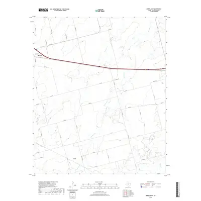
2022 Lake Abilene
Taylor County, TX
2022 Merkel East
Taylor County, TX
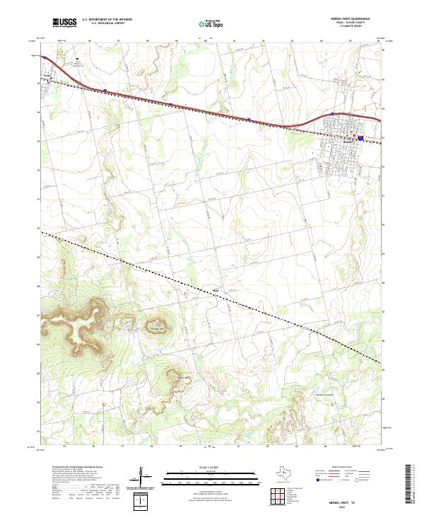
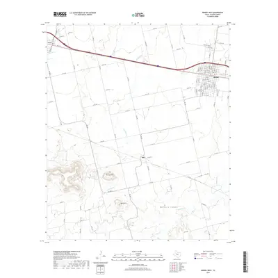
2022 Merkel West
Taylor County, TX
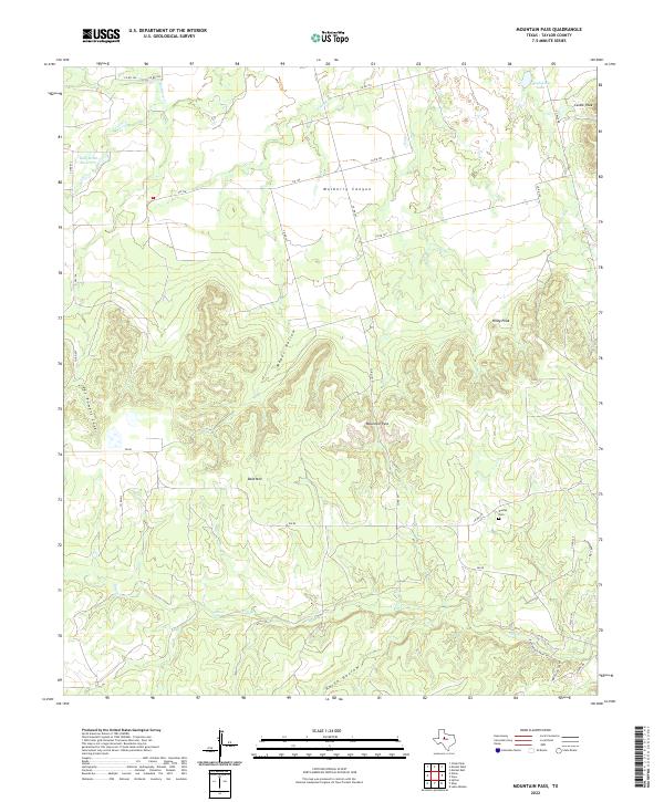
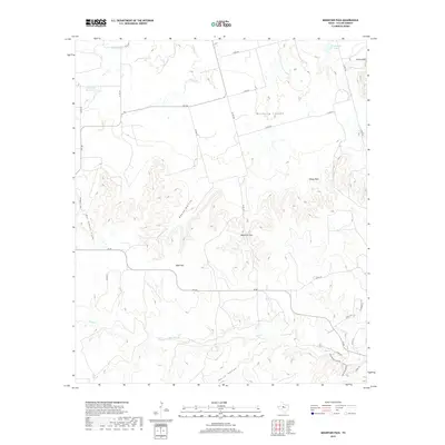
2022 Mountain Pass
Taylor County, TX
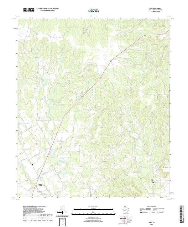
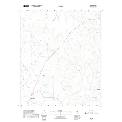
2022 Shep
Taylor County, TX
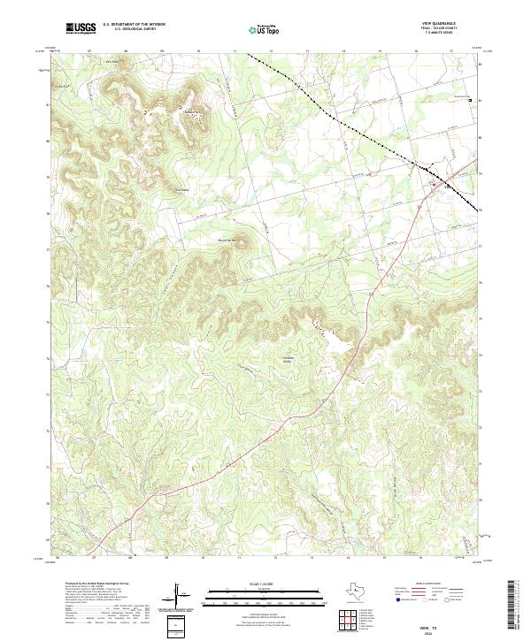
2022 View
Taylor County, TX