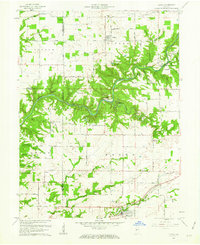
1961 Map of Alamo
USGS Topo · Published 1962About this map
Sugar Creek carves a deep path through this landscape, defining the northern reaches of Shades State Park and creating dramatic topographical landmarks like Pedestal Rock and the Devils Backbone. The area's history is written in its crossings and early industry, featuring the Deer Mill near a Covered Bridge and the Sycamore Ford further upstream. To the south, the town of Waveland serves as a local hub along the Pennsylvania railroad line, while the village of Alamo sits near the headwaters of Karnes Creek.
Find a feature on this map
57 named features on this map. Tap any name to fly to it.
Don’t see what you’re looking for? This feature index may not catch every label — zoom into the map to look around manually.
Map Details
Editions of this 1961 Alamo Map

Other maps of this area
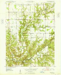
1948 · Wallace
USGS Topo · 1:24,000
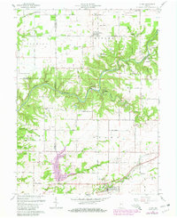
1949 · Alamo
USGS Topo · 1:24,000

1953 · Danville
USGS Topo · 1:250,000

1953 · Indianapolis
USGS Topo · 1:250,000

1955 · Danville
USGS Topo · 1:250,000
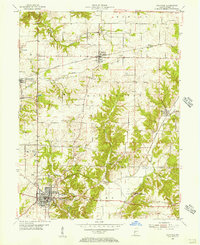
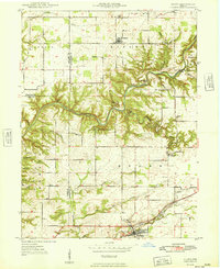
1955 · Rockville
USGS Topo · 1:24,000
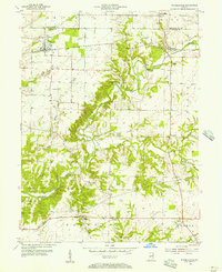
1955 · Russellville
USGS Topo · 1:24,000

1956 · Danville
USGS Topo · 1:250,000

1956 · Indianapolis
USGS Topo · 1:250,000
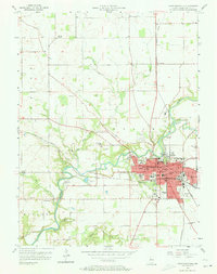
1956 · Crawfordsville
USGS Topo · 1:24,000