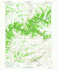
1961 Map of Alamo
USGS Topo · Published 1967About this map
Sugar Creek carves a deep, winding path through this West Central Indiana landscape, anchoring the preserved wilderness of Shades State Park. Along its banks, landmarks like the Covered Bridge at Deer Mill and the geological formation known as Devils Backbone illustrate the area's transition from early industrial milling to twentieth-century recreation. The rural character of the uplands is defined by small settlements such as Alamo and Byron, connected by roads like Lutheran Church Road and Schoolhouse Road.
Find a feature on this map
54 named features on this map. Tap any name to fly to it.
Don’t see what you’re looking for? This feature index may not catch every label — zoom into the map to look around manually.
Map Details
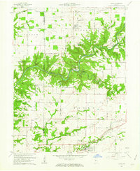
Editions of this 1961 Alamo Map
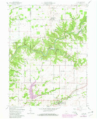
Other maps of this area

1948 · Wallace
USGS Topo · 1:24,000

1949 · Alamo
USGS Topo · 1:24,000

1953 · Danville
USGS Topo · 1:250,000

1953 · Indianapolis
USGS Topo · 1:250,000

1955 · Danville
USGS Topo · 1:250,000

1955 · Rockville
USGS Topo · 1:24,000

1955 · Russellville
USGS Topo · 1:24,000

1956 · Danville
USGS Topo · 1:250,000

1956 · Indianapolis
USGS Topo · 1:250,000

1956 · Crawfordsville
USGS Topo · 1:24,000