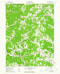
1961 Map of Allensville
USGS Topo · Published 1963About this map
Wayne National Forest dominates this topographic view of southern Ohio, where the deeply dissected topography of the Allegheny Plateau creates a labyrinth of narrow hollows and high ridges. The village of Allensville sits at the junction of Middle Fork Salt Creek and Riley Run, serving as a focal point for a landscape defined by small family cemeteries and country churches. Genealogists will find numerous burial sites such as Stella Cem and Centenary Cem tucked away on timbered slopes. Evidence of the region’s extractive economy is visible through various Strip Mine operations and scattered oil and gas wells. Significant local landmarks include a Covered Bridge spanning the water near Mt Olive Ch, illustrating the persistence of older infrastructure in this corner of Vinton County during the early 1960s.
Find a feature on this map
34 named features on this map. Tap any name to fly to it.
Don’t see what you’re looking for? This feature index may not catch every label — zoom into the map to look around manually.
Map Details
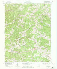
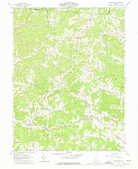
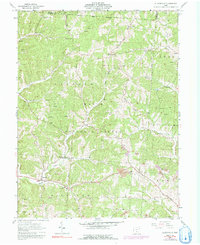
Editions of this 1961 Allensville Map
4 editions found
Other maps of this area

1904 · Zaleski
USGS Topo · 1:62,500

1905 · Wilkesville
USGS Topo · 1:62,500

1907 · Zaleski
USGS Topo · 1:62,500

1908 · Wilkesville
USGS Topo · 1:62,500

1910 · Laurelville
USGS Topo · 1:62,500

1912 · Laurelville
USGS Topo · 1:62,500

1913 · Jackson
USGS Topo · 1:62,500

1944 · Jackson
USGS Topo · 1:62,500

1944 · Laurelville
USGS Topo · 1:62,500

1947 · Columbus
USGS Topo · 1:250,000