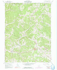
1961 Map of Allensville
USGS Topo · Published 1992About this map
Allensville and the small settlement of Stella anchor this landscape during a period of transition in southeastern Ohio. The map reveals a rural economy shifting toward resource extraction, evidenced by numerous Gas Wells and visible Strip Mines that dot the ridges and creek valleys. Amidst this industrial presence, the cultural fabric of the area remains visible through its numerous country churches and cemeteries, such as Chestnut Grove Ch and Spunk Cem. A notable piece of local infrastructure, the Covered Bridge across a tributary of Middle Fork, stands as a testament to earlier transport methods.
Find a feature on this map
38 named features on this map. Tap any name to fly to it.
Don’t see what you’re looking for? This feature index may not catch every label — zoom into the map to look around manually.
Map Details
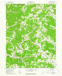
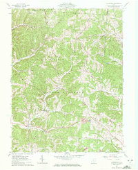
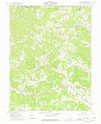
Editions of this 1961 Allensville Map
4 editions found
Other maps of this area

1904 · Zaleski
USGS Topo · 1:62,500

1905 · Wilkesville
USGS Topo · 1:62,500

1907 · Zaleski
USGS Topo · 1:62,500

1908 · Wilkesville
USGS Topo · 1:62,500

1910 · Laurelville
USGS Topo · 1:62,500

1912 · Laurelville
USGS Topo · 1:62,500

1913 · Jackson
USGS Topo · 1:62,500

1944 · Jackson
USGS Topo · 1:62,500

1944 · Laurelville
USGS Topo · 1:62,500

1947 · Columbus
USGS Topo · 1:250,000