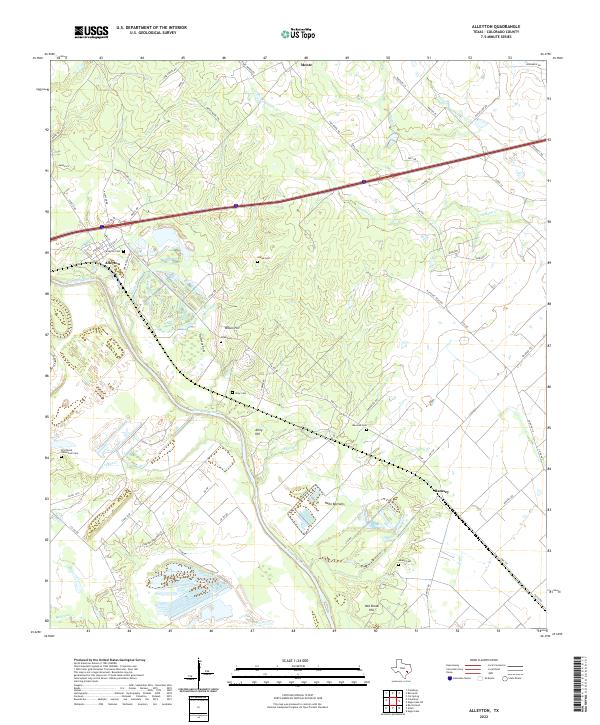
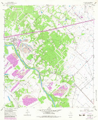
2022 Map of Alleyton
USGS Topo · Published 2022This historical map portrays the area of Alleyton in 2022, primarily covering Colorado County. Featuring a scale of 1:24000, this map provides a highly detailed snapshot of the terrain, roads, buildings, counties, and historical landmarks in the Alleyton region at the time. Published in 2022, it is the sole known edition of this map.
Map Details
Editions of this 2022 Alleyton Map
This is the sole edition of this map. No revisions or reprints were ever made.
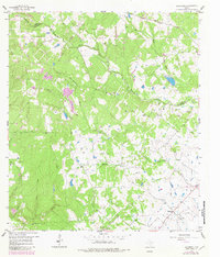
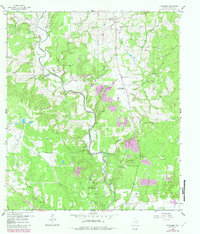
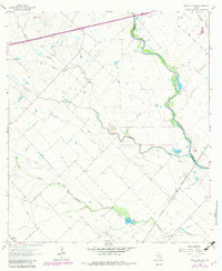
Historical Maps of Laban Through Time
19 maps found
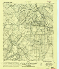
1919 Fayettsville
Colorado County, TX
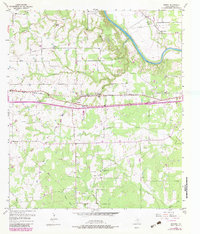
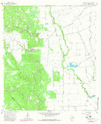
1957 Altair
Colorado County, TX
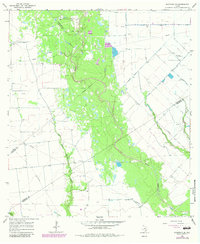
1957 Borden
Colorado County, TX
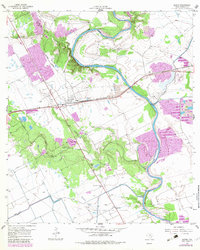
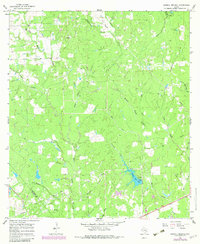
1958 Alleyton
Colorado County, TX
1958 Bernardo
Colorado County, TX
1958 Frelsburg
Colorado County, TX
1963 Eagle Lake NE
Colorado County, TX
1965 Sawmill Branch
Colorado County, TX
1965 Sheridan NE
Colorado County, TX
1965 Sheridan SE
Colorado County, TX
2022 Alleyton
Colorado County, TX
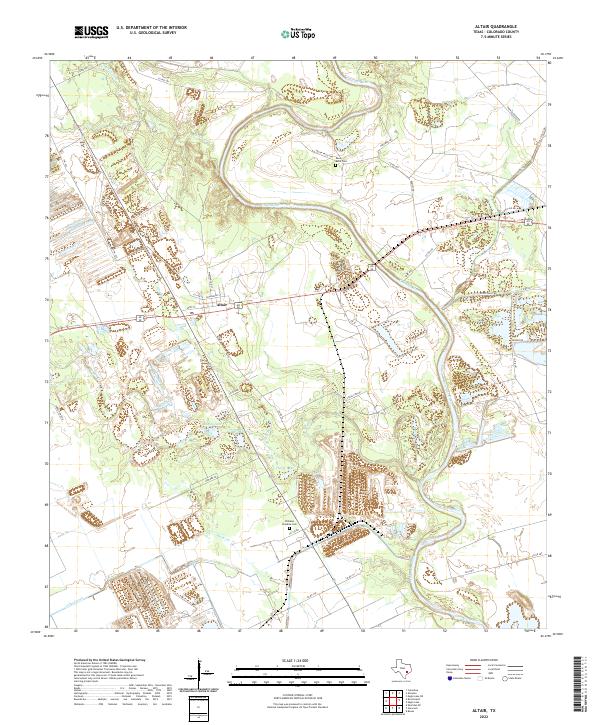
2022 Altair
Colorado County, TX
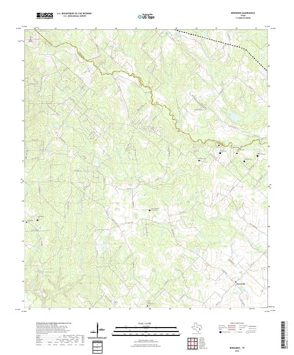
2022 Bernardo
Colorado County, TX
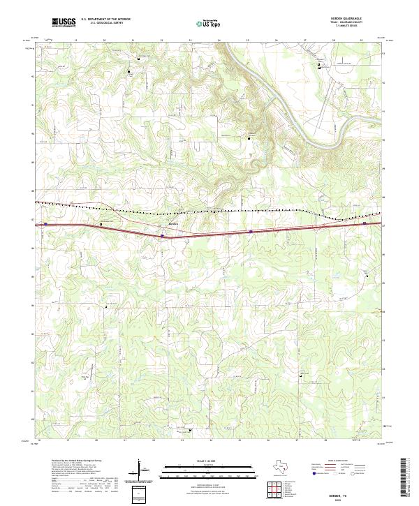
2022 Borden
Colorado County, TX
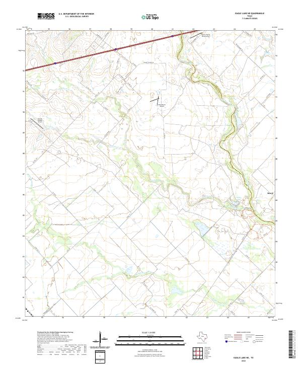
2022 Eagle Lake NE
Colorado County, TX
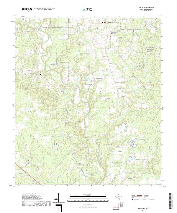
2022 Frelsburg
Colorado County, TX
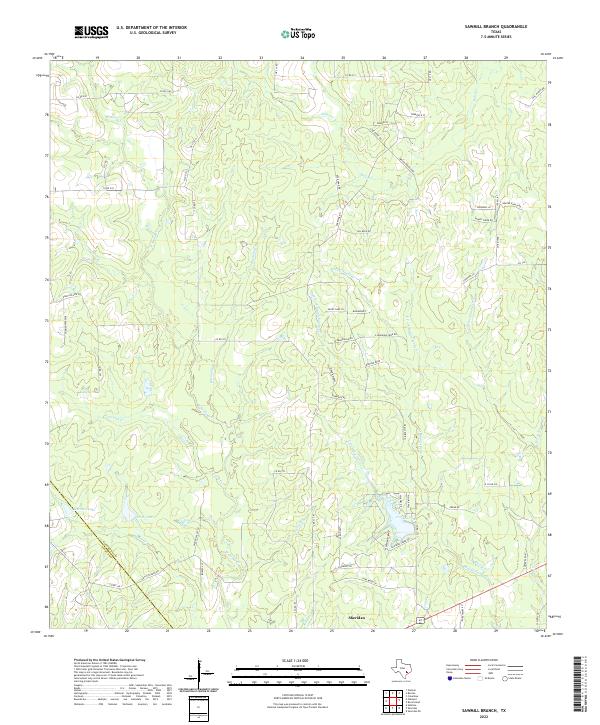
2022 Sawmill Branch
Colorado County, TX
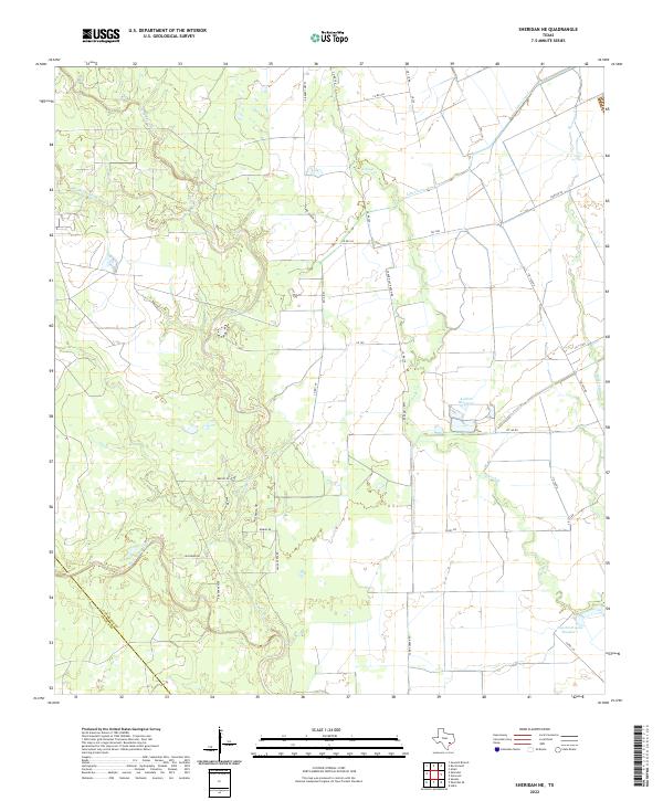
2022 Sheridan NE
Colorado County, TX
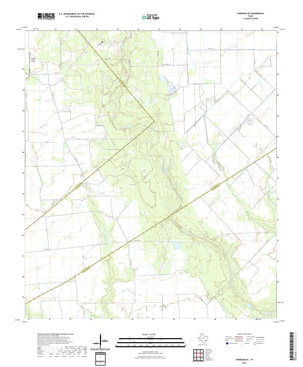
2022 Sheridan SE
Colorado County, TX