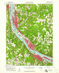
1960 Map of Ambridge
USGS Topo · Published 1961About this map
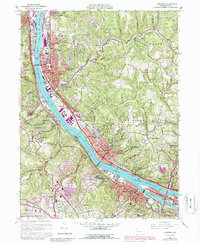
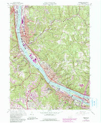
The Ohio River corridor serves as the industrial and transportation spine of this region during the early 1960s, connecting the major centers of Ambridge, Aliquippa, and Sewickley. The landscape reveals a complex mix of heavy industry along the riverbanks and the residential growth of the surrounding hills, such as Ambridge Heights and Sewickley Heights. Significant maritime infrastructure is documented at the Dashields Dam and its accompanying Dashields Locks, while the Pennsylvania and Pittsburgh and Lake Erie railroads trace the shoreline. This era shows the expanding footprint of the Greater Pittsburgh Airport at the southern edge of the survey. Cultural and social landmarks range from the Old Economy Historical Site, reflecting the area's communal heritage, to the sprawling grounds of the Dixmont State Hospital and the Allegheny Country Club.
Find a feature on this map
94 named features on this map. Tap any name to fly to it.
Don’t see what you’re looking for? This feature index may not catch every label — zoom into the map to look around manually.
Map Details
Editions of this 1960 Ambridge Map
6 editions found
Other maps of this area

1901 · Beaver
USGS Topo · 1:62,500

1904 · Beaver
USGS Topo · 1:62,500

1904 · Carnegie
USGS Topo · 1:62,500

1904 · Burgettstown
USGS Topo · 1:62,500

1906 · Burgettstown
USGS Topo · 1:62,500

1906 · Carnegie
USGS Topo · 1:62,500

1906 · Sewickley
USGS Topo · 1:62,500

1908 · Sewickley
USGS Topo · 1:62,500

1908 · Carnegie
USGS Topo · 1:62,500

1948 · Pittsburgh West
USGS Topo · 1:24,000