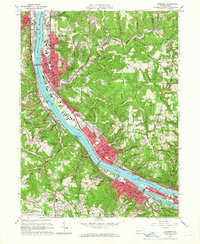
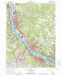
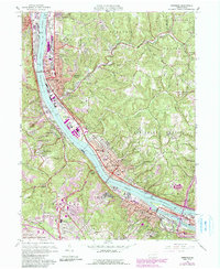
1960 Map of Ambridge
USGS Topo · Published 1966About this map
The industrial corridor of the Ohio River dominates this mid-century topographic record, showing the dense development of Ambridge, Aliquippa, and Sewickley. The map highlights the area's transition from the riverfront mills and the Pennsylvania railroad lines to the residential expansion of Ambridge Heights and Bon Meade. Significant local history is preserved in labels for the Old Economy Historical Site and numerous religious and educational landmarks like the Felicician Sisters Academy and Sewickley Academy.
Find a feature on this map
91 named features on this map. Tap any name to fly to it.
Don’t see what you’re looking for? This feature index may not catch every label — zoom into the map to look around manually.
Map Details
Editions of this 1960 Ambridge Map
6 editions found
Other maps of this area

1901 · Beaver
USGS Topo · 1:62,500

1904 · Beaver
USGS Topo · 1:62,500

1904 · Carnegie
USGS Topo · 1:62,500

1904 · Burgettstown
USGS Topo · 1:62,500

1906 · Burgettstown
USGS Topo · 1:62,500

1906 · Carnegie
USGS Topo · 1:62,500

1906 · Sewickley
USGS Topo · 1:62,500

1908 · Sewickley
USGS Topo · 1:62,500

1908 · Carnegie
USGS Topo · 1:62,500

1948 · Pittsburgh West
USGS Topo · 1:24,000