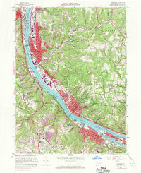
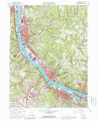
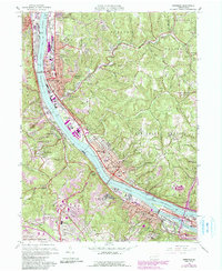
1960 Map of Ambridge
USGS Topo · Published 1971About this map
The Ohio River industrial corridor dominates this landscape, showing a dense network of river-and-rail infrastructure as it appeared during the mid-century manufacturing peak. The riverfront is lined with major settlements from Aliquippa and Ambridge down to Coraopolis, where the P & L E and Penn Central railroads flank the banks. This survey captures a significant transition in land use, noting the expansion of the Greater Pittsburgh Airport in the south alongside older landmarks like the Old Economy Historical Site and the Dixmont State Hospital.
Find a feature on this map
101 named features on this map. Tap any name to fly to it.
Don’t see what you’re looking for? This feature index may not catch every label — zoom into the map to look around manually.
Map Details
Editions of this 1960 Ambridge Map
6 editions found
Other maps of this area

1901 · Beaver
USGS Topo · 1:62,500

1904 · Beaver
USGS Topo · 1:62,500

1904 · Carnegie
USGS Topo · 1:62,500

1904 · Burgettstown
USGS Topo · 1:62,500

1906 · Burgettstown
USGS Topo · 1:62,500

1906 · Carnegie
USGS Topo · 1:62,500

1906 · Sewickley
USGS Topo · 1:62,500

1908 · Sewickley
USGS Topo · 1:62,500

1908 · Carnegie
USGS Topo · 1:62,500

1948 · Pittsburgh West
USGS Topo · 1:24,000