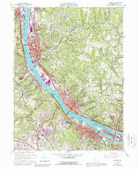
1960 Map of Ambridge
USGS Topo · Published 1988About this map
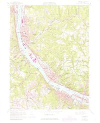
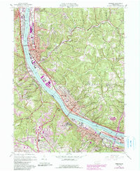
Industrial corridors along the Ohio River define this mid-century landscape, where the steel-town heritage of Ambridge and Aliquippa meets the residential heights of the Allegheny County hills. The map highlights a dense network of river-based infrastructure, including the Dashields Dam and a Coast Guard Station near Haysville. Inland, the terrain rises into the Sewickley Heights, characterized by the presence of institutions like the Dixmont State Hospital and the Felician Sisters Academy. Cultural and educational landmarks are prominent, from the Old Economy Historical Site reflecting the area's communal history to Sewickley Academy and Ambridge High Sch. The southern edge captures the developing footprint of the Greater Pittsburgh International Airport, while older transit routes like the Conrail and P & L E rail lines parallel the river, linking these valley settlements to the broader Pittsburgh manufacturing hub.
Find a feature on this map
71 named features on this map. Tap any name to fly to it.
Don’t see what you’re looking for? This feature index may not catch every label — zoom into the map to look around manually.
Map Details
Editions of this 1960 Ambridge Map
6 editions found
Other maps of this area

1901 · Beaver
USGS Topo · 1:62,500

1904 · Beaver
USGS Topo · 1:62,500

1904 · Carnegie
USGS Topo · 1:62,500

1904 · Burgettstown
USGS Topo · 1:62,500

1906 · Burgettstown
USGS Topo · 1:62,500

1906 · Carnegie
USGS Topo · 1:62,500

1906 · Sewickley
USGS Topo · 1:62,500

1908 · Sewickley
USGS Topo · 1:62,500

1908 · Carnegie
USGS Topo · 1:62,500

1948 · Pittsburgh West
USGS Topo · 1:24,000