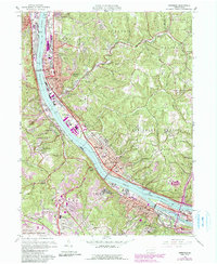
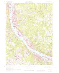
1960 Map of Ambridge
USGS Topo · Published 1990About this map
The Ohio River corridor serves as the industrial and transportation spine for this portion of western Pennsylvania, where the Pennsylvania Railroad and the Pittsburgh and Lake Erie RR flank the banks. Heavy industry and dense urban development concentrate in Aliquippa and Ambridge, the latter featuring the preserved Old Economy Historical Site. Moving away from the river, the landscape transitions into the residential and institutional pockets of Sewickley and Edgeworth, characterized by extensive country club grounds and academies.
Find a feature on this map
86 named features on this map. Tap any name to fly to it.
Don’t see what you’re looking for? This feature index may not catch every label — zoom into the map to look around manually.
Map Details
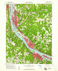
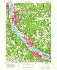
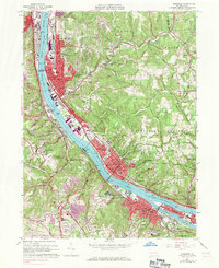
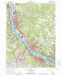
Editions of this 1960 Ambridge Map
6 editions found
Other maps of this area

1901 · Beaver
USGS Topo · 1:62,500

1904 · Beaver
USGS Topo · 1:62,500

1904 · Carnegie
USGS Topo · 1:62,500

1904 · Burgettstown
USGS Topo · 1:62,500

1906 · Burgettstown
USGS Topo · 1:62,500

1906 · Carnegie
USGS Topo · 1:62,500

1906 · Sewickley
USGS Topo · 1:62,500

1908 · Sewickley
USGS Topo · 1:62,500

1908 · Carnegie
USGS Topo · 1:62,500

1948 · Pittsburgh West
USGS Topo · 1:24,000