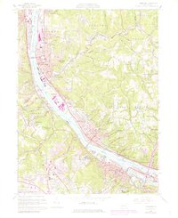
1960 Map of Ambridge
USGS Topo · Published 1979About this map
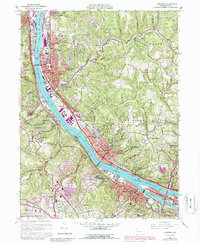
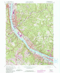
The Ohio River corridor serves as the industrial and social backbone of this Pennsylvania landscape, where the concentrated residential grids of Ambridge and Coraopolis contrast with the winding creek valleys of the interior. The river's influence is evident in the heavy infrastructure of the Conrail and P & L E RR lines, as well as the Dashields Dam and Coast Guard Station. On the heights above the river, institutional presence is marked by the Dixmont State Hospital and several parochial landmarks like the Pelician Sisters Academy and St Josephs Sch.
Find a feature on this map
92 named features on this map. Tap any name to fly to it.
Don’t see what you’re looking for? This feature index may not catch every label — zoom into the map to look around manually.
Map Details
Editions of this 1960 Ambridge Map
6 editions found
Other maps of this area

1901 · Beaver
USGS Topo · 1:62,500

1904 · Beaver
USGS Topo · 1:62,500

1904 · Carnegie
USGS Topo · 1:62,500

1904 · Burgettstown
USGS Topo · 1:62,500

1906 · Burgettstown
USGS Topo · 1:62,500

1906 · Carnegie
USGS Topo · 1:62,500

1906 · Sewickley
USGS Topo · 1:62,500

1908 · Sewickley
USGS Topo · 1:62,500

1908 · Carnegie
USGS Topo · 1:62,500

1948 · Pittsburgh West
USGS Topo · 1:24,000