
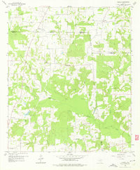
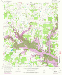
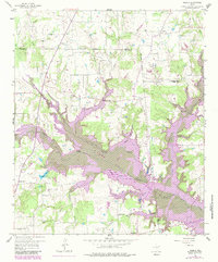
1958 Map of Arbala
USGS Topo · Published 1960About this map
Arbala and the surrounding rural landscape in Northeast Texas are defined by a complex network of small watercourses and family-named landmarks just before the significant topographical changes of later decades. The area is anchored by several long-standing community centers, including Bonanza and Hogansville, where local history is recorded in scattered spiritual and burial sites like Pilgrim Rest Ch, Freedom Ch, and the Burke-Yandell Cem.
Find a feature on this map
46 named features on this map. Tap any name to fly to it.
Don’t see what you’re looking for? This feature index may not catch every label — zoom into the map to look around manually.
Map Details
Editions of this 1958 Arbala Map
4 editions found
Other maps of this area

1953 · Texarkana
USGS Topo · 1:250,000

1956 · Texarkana
USGS Topo · 1:250,000

1956 · Tyler
USGS Topo · 1:250,000

1956 · Emory
USGS Topo · 1:62,500

1958 · Alba
USGS Topo · 1:24,000

1959 · Calvary
USGS Topo · 1:24,000

1959 · Yantis
USGS Topo · 1:24,000

1959 · Alba
USGS Topo · 1:62,500

1962 · Miller Grove
USGS Topo · 1:24,000

1962 · Brashear
USGS Topo · 1:24,000