Loading...
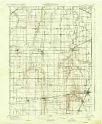
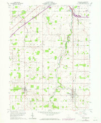
Loading map...1907 Map of Arlington
USGS Topo · Published 1936About this map
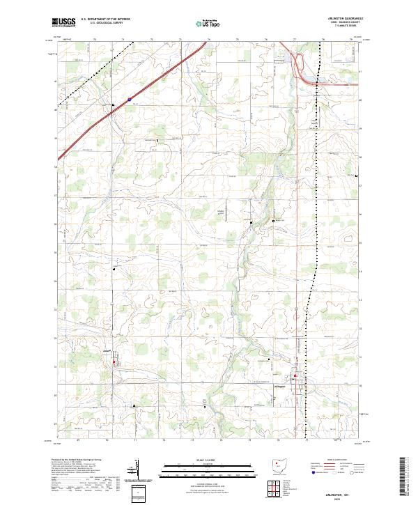
The Blanchard River and its numerous tributaries, such as Silver Creek and Eagle Creek, anchor this agricultural landscape in the early 20th century. The region is defined by a dense network of railroads that facilitated the movement of goods and people, including the Pennsylvania System and the Toledo and Ohio Central RR. These tracks connect established rail towns like Dunkirk and Forest with smaller agricultural hubs such as Arlington and Mt Blanchard.
Find a feature on this map
67 named features on this map. Tap any name to fly to it.
Don’t see what you’re looking for? This feature index may not catch every label — zoom into the map to look around manually.
Map Details
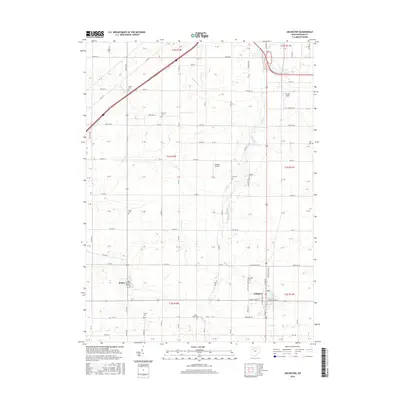
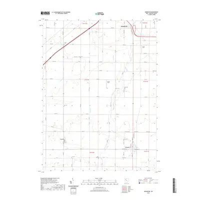
Date Portrayed1907
Date Published1936
PublisherU.S. Geological Survey
Map TypeTopographic
Scale1:62,500
Physical Dimensions16.5 x 20 inches
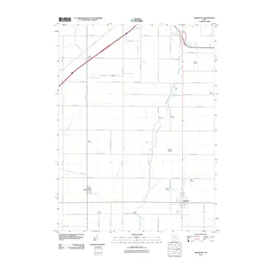
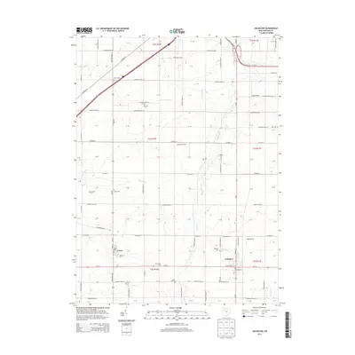
Editions of this 1907 Arlington Map
2 editions found

Historical Maps of Findlay Through Time
8 maps found

Featured Locations
Source Details
SourceU.S. Geological Survey
CopyrightPublic Domain