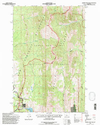
1995 Map of Arsenic Mountain
USGS Topo · Published 1997About this map
Bob Marshall Wilderness and the Lewis and Clark National Forest dominate this landscape where the Marshall Range meets the Sawtooth Range. The rugged topography is defined by prominent peaks like Arsenic Mountain and the towering Sheep Reef escarpment. At the southern edge of the survey, the South Fork Sun River and North Fork Sun River converge at the head of Gibson Reservoir, a critical water management area marked by Reclamation Flats. This high-altitude region, also protected as the Sun River Game Preserve, shows minimal human development, concentrated primarily around Medicine Springs and small outposts such as K-L Ranch and the JJJ Wilderness Ranch. The network of drainages including Arsenic Creek and Deep Creek illustrates the complex hydrology of the Continental Divide's eastern slopes.
Find a feature on this map
34 named features on this map. Tap any name to fly to it.
Don’t see what you’re looking for? This feature index may not catch every label — zoom into the map to look around manually.
Map Details
Editions of this 1995 Arsenic Mountain Map
2 editions found
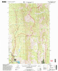
Other maps of this area

1903 · Saypo
USGS Topo · 1:125,000

1955 · Choteau
USGS Topo · 1:250,000

1957 · Choteau
USGS Topo · 1:250,000

1958 · Choteau
USGS Topo · 1:250,000

1958 · Ear Mountain
USGS Topo · 1:24,000

1958 · Our Lake
USGS Topo · 1:24,000

1958 · Sawtooth Ridge
USGS Topo · 1:24,000

1958 · Glenn Creek
USGS Topo · 1:24,000

1958 · Pretty Prairie
USGS Topo · 1:24,000

1958 · Gates Park
USGS Topo · 1:24,000