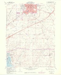
1961 Map of Ashland South
USGS Topo · Published 1973About this map
The southern portion of Ashland is the focal point of this early 1960s study, displaying a transition from the developing city grid to the agricultural townships of Vermillion and Milton. The presence of Ashland College and the Samaritan Hospital highlights the area's institutional growth, while the Erie-Lackawanna railroad line cuts a definitive path through the landscape. Toward the south, the terrain becomes increasingly rural, marked by scattered family burial grounds like Strickland Cem and Vesper Cem.
Find a feature on this map
61 named features on this map. Tap any name to fly to it.
Don’t see what you’re looking for? This feature index may not catch every label — zoom into the map to look around manually.
Map Details
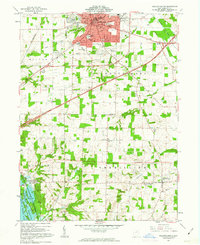
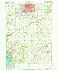
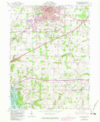
Editions of this 1961 Ashland South Map
4 editions found
Other maps of this area

1906 · West Salem
USGS Topo · 1:62,500

1908 · Ashland
USGS Topo · 1:62,500

1908 · West Salem
USGS Topo · 1:62,500

1912 · Loudonville
USGS Topo · 1:62,500

1912 · Perrysville
USGS Topo · 1:62,500

1914 · Loudonville
USGS Topo · 1:62,500

1915 · Perrysville
USGS Topo · 1:62,500

1943 · Loudonville
USGS Topo · 1:62,500

1944 · Perrysville
USGS Topo · 1:62,500

1950 · Marion
USGS Topo · 1:250,000