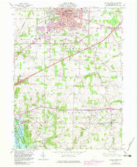
1961 Map of Ashland South
USGS Topo · Published 1983About this map
Ashland serves as the focal point of this 1960s survey, showing the city's mid-century expansion including Ashland College, Samaritan Hospital, and a Drive-in Theater on the eastern outskirts. The landscape transitions from the urban core and Fairgrounds to the agricultural reaches of Montgomery and Vermillion townships. To the south, the MuskingUM Watershed Conservancy Dist manages the terrain around Charles Mill Lake and the Black Fk Mohican River.
Find a feature on this map
63 named features on this map. Tap any name to fly to it.
Don’t see what you’re looking for? This feature index may not catch every label — zoom into the map to look around manually.
Map Details
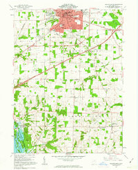
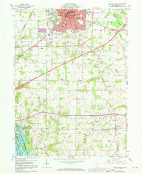
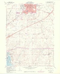
Editions of this 1961 Ashland South Map
4 editions found
Other maps of this area

1906 · West Salem
USGS Topo · 1:62,500

1908 · Ashland
USGS Topo · 1:62,500

1908 · West Salem
USGS Topo · 1:62,500

1912 · Loudonville
USGS Topo · 1:62,500

1912 · Perrysville
USGS Topo · 1:62,500

1914 · Loudonville
USGS Topo · 1:62,500

1915 · Perrysville
USGS Topo · 1:62,500

1943 · Loudonville
USGS Topo · 1:62,500

1944 · Perrysville
USGS Topo · 1:62,500

1950 · Marion
USGS Topo · 1:250,000