
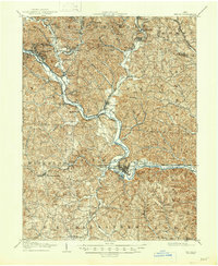
1905 Map of Athens
USGS Topo · Published 1905About this map
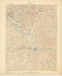
Athens serves as the focal point of this 1905 landscape, situated at the confluence of the Hocking River and Margaret Creek. The region is defined by a dense network of early 20th-century industry and transport, where the Hocking Valley and Toledo and Ohio Central railroads lace through narrow valleys to serve coal and timber towns. Significant settlements like Nelsonville and Glouster are shown at their industrial height, connected by winding waterways such as Sunday Creek and Monday Creek. The map provides a remarkable level of detail for genealogists, identifying small hamlets and junctions like Orbiston, Buchtel, and Marshfield. To the south, the topography shifts toward the rural townships of Alexander and Lodi, where the terrain is marked by smaller family-named features like McDougall Branch and Hamley Run.
Find a feature on this map
81 named features on this map. Tap any name to fly to it.
Don’t see what you’re looking for? This feature index may not catch every label — zoom into the map to look around manually.
Map Details
Editions of this 1905 Athens Map
6 editions found
Other maps of this area

1903 · Athens
USGS Topo · 1:62,500

1904 · Zaleski
USGS Topo · 1:62,500

1904 · Chesterhill
USGS Topo · 1:62,500

1905 · Wilkesville
USGS Topo · 1:62,500

1906 · Chesterhill
USGS Topo · 1:62,500

1907 · Pomeroy
USGS Topo · 1:62,500

1907 · Keno
USGS Topo · 1:62,500

1907 · Zaleski
USGS Topo · 1:62,500

1907 · Logan
USGS Topo · 1:62,500

1908 · Wilkesville
USGS Topo · 1:62,500
Featured Places
- Athens, Athens Township
- Nelsonville, Trimble Township
- The Plains, Athens Township
- Glouster, Trimble Township
- Chauncey, Dover Township