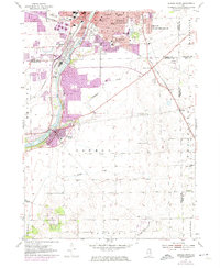
1954 Map of Aurora South
USGS Topo · Published 1974About this map
The Fox River corridor between Montgomery and Oswego serves as the focal point for this mid-century Illinois landscape. The 1970s revisions illustrate significant suburban growth expanding from the historic industrial cores, particularly around South Park and the established neighborhoods of Aurora. The presence of numerous specialized institutions, such as Copley Hospital and Our Lady of Good Counsel Sch, reflects the social infrastructure of a maturing regional hub.
Find a feature on this map
44 named features on this map. Tap any name to fly to it.
Don’t see what you’re looking for? This feature index may not catch every label — zoom into the map to look around manually.
Map Details
Editions of this 1954 Aurora South Map
4 editions found
Other maps of this area

1892 · Joliet
USGS Topo · 1:62,500

1908 · Wheaton
USGS Topo · 1:62,500

1923 · Joliet
USGS Topo · 1:62,500

1925 · Yorkville
USGS Topo · 1:62,500

1932 · Geneva
USGS Topo · 1:62,500

1948 · Wheaton
USGS Topo · 1:62,500

1948 · Geneva
USGS Topo · 1:62,500

1950 · Aurora North
USGS Topo · 1:24,000

1953 · Plattville
USGS Topo · 1:24,000

1953 · Naperville
USGS Topo · 1:24,000