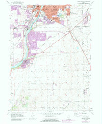
1954 Map of Aurora South
USGS Topo · Published 1988About this map
The Fox River valley serves as the primary corridor for development in this mid-century look at the southern outskirts of Aurora. Industrial and residential expansion from the city center is evident in the growth around South Park and the settlement of Scraper-Moecherville. The riverbank is dotted with notable landmarks, from Hurds Island and the Aurora Country Club to the Sewage Disposal plant further downstream near Montgomery.
Find a feature on this map
48 named features on this map. Tap any name to fly to it.
Don’t see what you’re looking for? This feature index may not catch every label — zoom into the map to look around manually.
Map Details
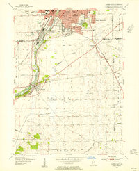
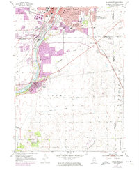
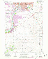
Editions of this 1954 Aurora South Map
4 editions found
Other maps of this area

1892 · Joliet
USGS Topo · 1:62,500

1908 · Wheaton
USGS Topo · 1:62,500

1923 · Joliet
USGS Topo · 1:62,500

1925 · Yorkville
USGS Topo · 1:62,500

1932 · Geneva
USGS Topo · 1:62,500

1948 · Wheaton
USGS Topo · 1:62,500

1948 · Geneva
USGS Topo · 1:62,500

1950 · Aurora North
USGS Topo · 1:24,000

1953 · Plattville
USGS Topo · 1:24,000

1953 · Naperville
USGS Topo · 1:24,000