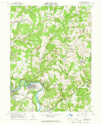
1964 Map of Avonmore
USGS Topo · Published 1966About this map
The Kiskiminetas River forms a sharp, serpentine bend that defines the industrial and residential heart of Avonmore and neighboring Salina. This 1964 field-checked survey reveals a landscape heavily shaped by energy extraction, with extensive Strip Mines and numerous Gas Wells dotting the hills between the boroughs. The transportation network is anchored by the Pennsylvania Railroad, with several spurs marked as Abandoned, reflecting a shifting coal and rail economy in the mid-20th century.
Find a feature on this map
48 named features on this map. Tap any name to fly to it.
Don’t see what you’re looking for? This feature index may not catch every label — zoom into the map to look around manually.
Map Details
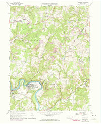
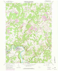
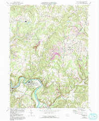
Editions of this 1964 Avonmore Map
4 editions found
Other maps of this area

1900 · Latrobe
USGS Topo · 1:62,500

1902 · Latrobe
USGS Topo · 1:62,500

1902 · Elders Ridge
USGS Topo · 1:62,500

1903 · Latrobe
USGS Topo · 1:62,500

1904 · Elders Ridge
USGS Topo · 1:62,500

1904 · Greensburg
USGS Topo · 1:62,500

1906 · Greensburg
USGS Topo · 1:62,500

1907 · Freeport
USGS Topo · 1:62,500

1909 · Freeport
USGS Topo · 1:62,500

1953 · Pittsburgh
USGS Topo · 1:250,000