
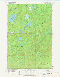
1954 Map of Barrs Lake
USGS Topo · Published 1955About this map
The Cloquet Valley State Forest dominates this mid-century landscape in St. Louis County, where the upper reaches of the Cloquet River and the Sucker River drain a terrain dense with glacial lakes and wetlands. The map documents a period of shifting rural infrastructure, most notably evidenced by the presence of School No 27 (Abandoned) in the northwest corner near the river. This specific detail provides a direct link to the region's earlier homesteading history and the consolidation of rural school districts. Small, named bodies of water like Lieuna Lake, Barrs Lake, and the twin Paradise Lake and Hart Lake are scattered across the townships of Alden, Normanna, and Duluth. The drainage patterns of Brophy Creek and numerous smaller basins suggest a quiet, forested wilderness largely shaped by water and timber.
Find a feature on this map
19 named features on this map. Tap any name to fly to it.
Don’t see what you’re looking for? This feature index may not catch every label — zoom into the map to look around manually.
Map Details
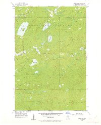
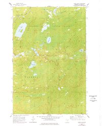
Editions of this 1954 Barrs Lake Map
4 editions found
Other maps of this area

1895 · Duluth
USGS Topo · 1:62,500

1953 · French River
USGS Topo · 1:24,000

1953 · Arnold
USGS Topo · 1:24,000

1953 · Knife River
USGS Topo · 1:24,000

1953 · Duluth
USGS Topo · 1:62,500

1953 · Ashland
USGS Topo · 1:250,000

1953 · Duluth
USGS Topo · 1:250,000

1954 · Thompson Lake
USGS Topo · 1:24,000

1954 · Mc Carthy Creek
USGS Topo · 1:24,000

1954 · Two Harbors
USGS Topo · 1:250,000