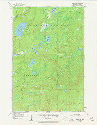
1954 Map of Barrs Lake
USGS Topo · Published 1962About this map
Cloquet Valley State Forest dominates this northern Minnesota landscape as recorded in the mid-1950s. The region is defined by a complex network of glacial lakes and waterways, including the winding Cloquet River and the headwaters of the Sucker River. Notable water bodies such as Barrs Lake, Lieuna Lake, and the smaller Briar Lake punctuate the timberland.
Find a feature on this map
21 named features on this map. Tap any name to fly to it.
Don’t see what you’re looking for? This feature index may not catch every label — zoom into the map to look around manually.
Map Details
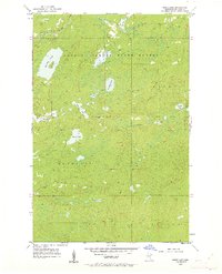
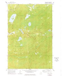
Editions of this 1954 Barrs Lake Map
4 editions found
Other maps of this area

1895 · Duluth
USGS Topo · 1:62,500

1953 · French River
USGS Topo · 1:24,000

1953 · Arnold
USGS Topo · 1:24,000

1953 · Knife River
USGS Topo · 1:24,000

1953 · Duluth
USGS Topo · 1:62,500

1953 · Ashland
USGS Topo · 1:250,000

1953 · Duluth
USGS Topo · 1:250,000

1954 · Barrs Lake
USGS Topo · 1:24,000

1954 · Thompson Lake
USGS Topo · 1:24,000

1954 · Mc Carthy Creek
USGS Topo · 1:24,000