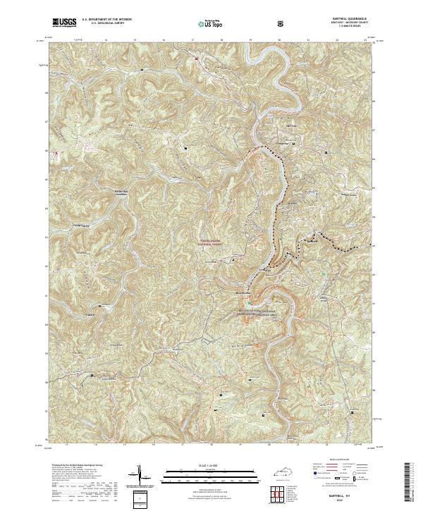
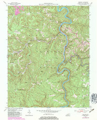
2022 Map of Barthell
USGS Topo · Published 2022This historical map portrays the area of Barthell in 2022, primarily covering McCreary County. Featuring a scale of 1:24000, this map provides a highly detailed snapshot of the terrain, roads, buildings, counties, and historical landmarks in the Barthell region at the time. Published in 2022, it is the sole known edition of this map.
Map Details
Editions of this 2022 Barthell Map
This is the sole edition of this map. No revisions or reprints were ever made.
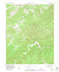
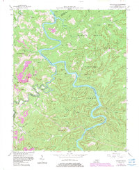
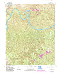
Historical Maps of Fidelity Through Time
16 maps found

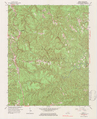
1934 Barthell
McCreary County, KY
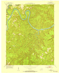
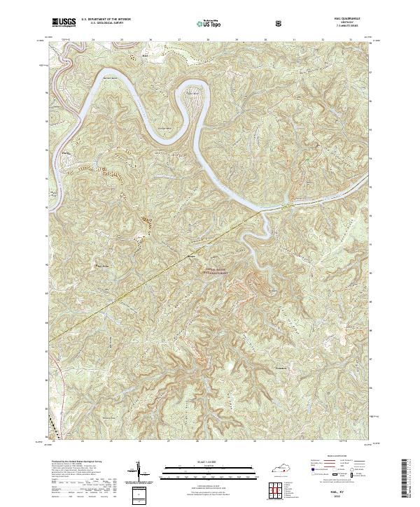
1952 Hail
McCreary County, KY
1952 Hollyhill
McCreary County, KY
1952 Wiborg
McCreary County, KY
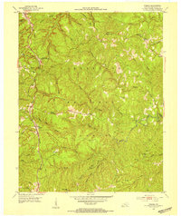
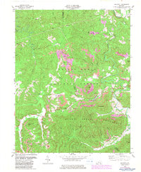
1954 Barthell
McCreary County, KY
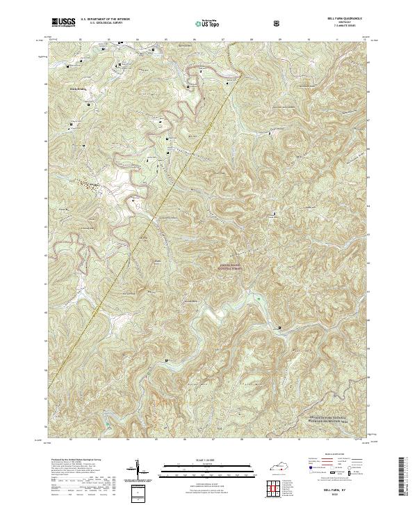
1954 Bell Farm
McCreary County, KY
1954 Nevelsville
McCreary County, KY
1963 Hail
McCreary County, KY
1963 Wiborg
McCreary County, KY
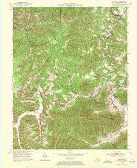
1979 Hollyhill
McCreary County, KY
2022 Barthell
McCreary County, KY
2022 Bell Farm
McCreary County, KY
2022 Hail
McCreary County, KY
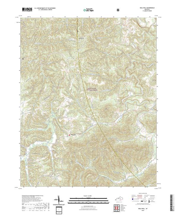
2022 Hollyhill
McCreary County, KY
2022 Nevelsville
McCreary County, KY
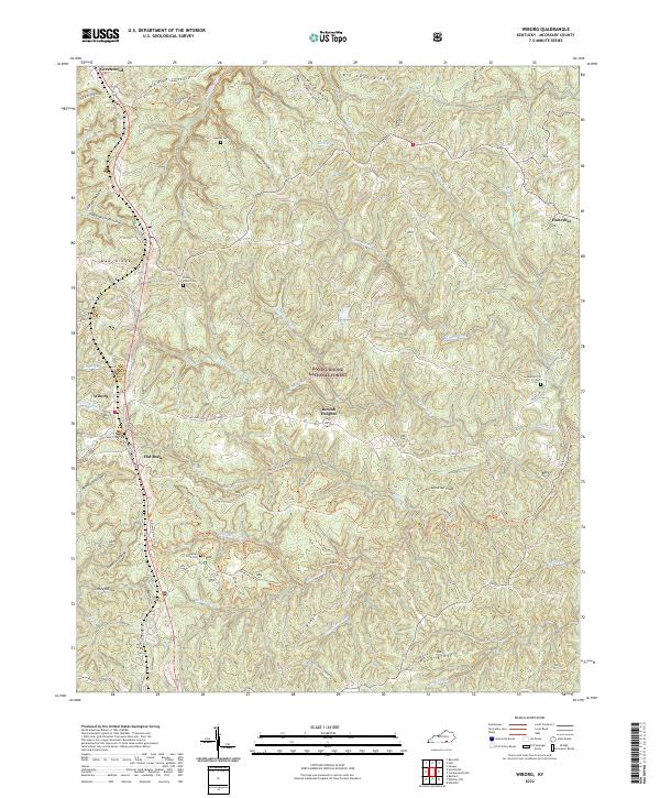
2022 Wiborg
McCreary County, KY