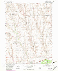
1956 Map of Bartley
USGS Topo · Published 1983About this map
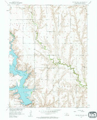
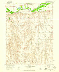
Bartley stands as the primary settlement on this Nebraska survey, situated just north of the Republican R and the Red Willow Canal. The landscape is defined by the sharp transition between the irrigated valley floor and the dissected upland plateaus to the north, where deep cuts like Stevenson Canyon and Dry Creek drain toward the river basin. This era shows a rural community structure transitioning into the late 20th century, where older landmarks like the Dry Creek Sch (Abandoned) and Alliance Sch are preserved alongside active local centers such as the United Brethren Ch. Transportation and infrastructure are anchored by the Burlington Northern railroad corridor, which parallels the river. Genealogists will find significant value in the detailed placement of the Bartley Cem and Dry Creek Cem, providing a precise record of local family history and burial sites across the Red Willow and Frontier county line.
Find a feature on this map
17 named features on this map. Tap any name to fly to it.
Don’t see what you’re looking for? This feature index may not catch every label — zoom into the map to look around manually.
Map Details
Editions of this 1956 Bartley Map
3 editions found
Other maps of this area

1954 · McCook
USGS Topo · 1:250,000
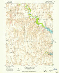
1956 · Freedom
USGS Topo · 1:24,000
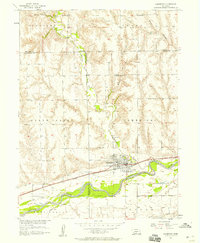
1956 · Cambridge
USGS Topo · 1:24,000
1956 · Medicine Creek Dam
USGS Topo · 1:24,000
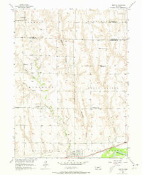
1956 · Bartley NW
USGS Topo · 1:24,000
1956 · Bartley
USGS Topo · 1:24,000

1957 · McCook
USGS Topo · 1:250,000
1957 · Danbury NE
USGS Topo · 1:24,000

1958 · McCook
USGS Topo · 1:250,000
1958 · Danbury NE
USGS Topo · 1:24,000