
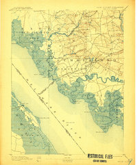
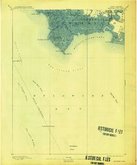
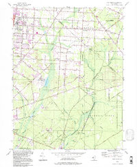
1894 Map of Bay Side
USGS Topo · Published 1907This historical map portrays the area of Bay Side in 1894, primarily covering Cumberland County as well as portions of Delaware. Featuring a scale of 1:62500, this map provides a highly detailed snapshot of the terrain, roads, buildings, counties, and historical landmarks in the Bay Side region at the time. Published in 1907, it is one of 6 known editions of this map due to revisions or reprints.
Map Details
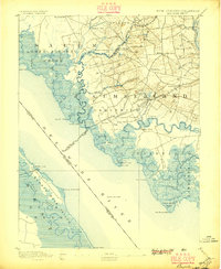
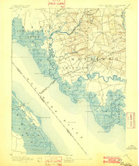
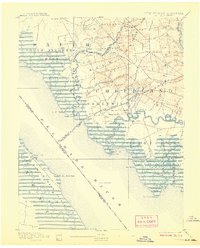
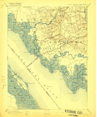
Editions of this 1894 Bay Side Map
6 editions found

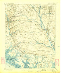
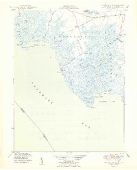
Historical Maps of Cumberland County Through Time
14 maps found

1890 Bay Side
Cumberland County, NJ

1890 Bridgeton
Cumberland County, NJ

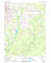
1890 Maurice Cove
Cumberland County, NJ
1891 Maurice Cove
Cumberland County, NJ
1894 Bay Side
Cumberland County, NJ
1894 Bridgeton
Cumberland County, NJ

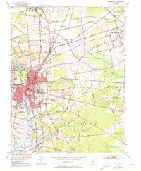
1942 Bridgeton
Cumberland County, NJ

1948 Bridgeton
Cumberland County, NJ
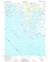
1949 Ben Davis Point
Cumberland County, NJ
1953 Bridgeton
Cumberland County, NJ
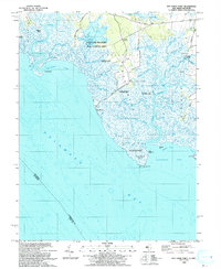
1956 Ben Davis Point
Cumberland County, NJ
1956 Five Points
Cumberland County, NJ
1993 Ben Davis Point
Cumberland County, NJ
1994 Five Points
Cumberland County, NJ