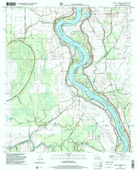
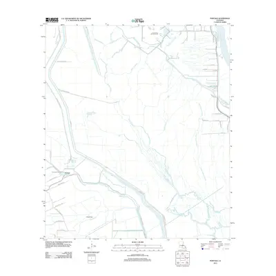
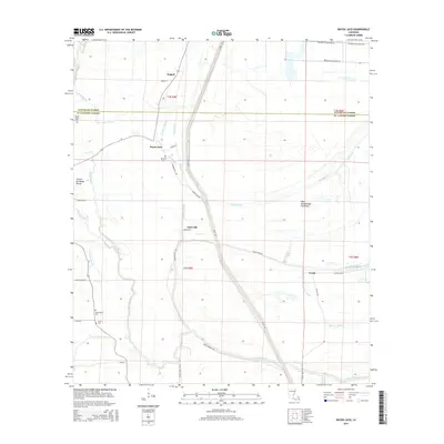
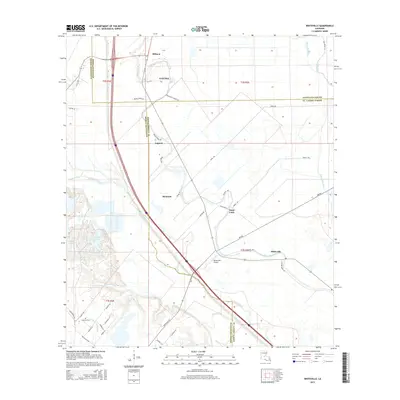
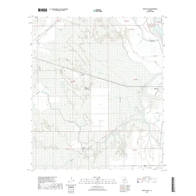
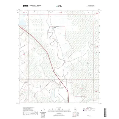
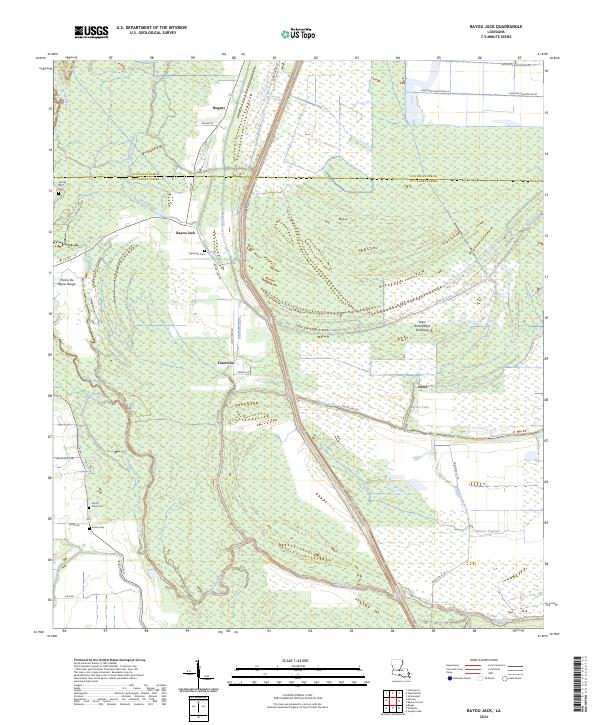
1969 Map of Bayou Jack
USGS Topo · Published 1971About this map
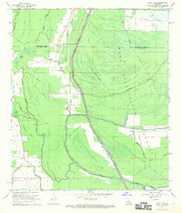
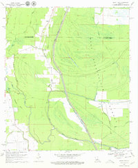
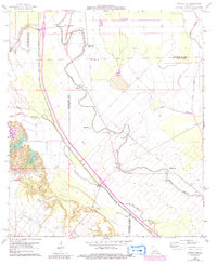
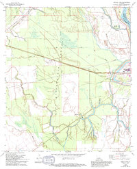
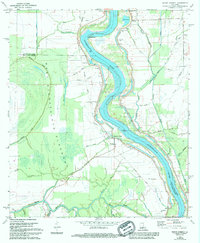
Jack Bayou and the massive West Des Glaises Protection Levee Diversion Channel dominate this Louisiana landscape, illustrating the mid-century engineering efforts to manage the Atchafalaya Basin. The map records the rural settlements of Bayou Jack, Taterville, and Nugent as they appeared in the late 1960s, linked by a network of winding waterways and secondary roads. Local history is anchored by several small congregations and burial sites, including the Apostolic Ch and Mt Olive Ch Cem. The terrain is defined by complex hydrology, from the intricate curves of Bayou Rouge and Spring Bayou to the expansive West Atchafalaya Basin Drainage Canal. This survey provides a precise record of the land use patterns and water management systems before further development altered the parish borders.
Find a feature on this map
28 named features on this map. Tap any name to fly to it.
Don’t see what you’re looking for? This feature index may not catch every label — zoom into the map to look around manually.
Map Details
Editions of this 1969 Bayou Jack Map
3 editions found
Historical Maps of Veazie Through Time
38 maps found
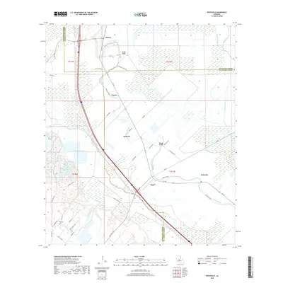
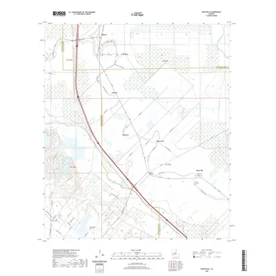
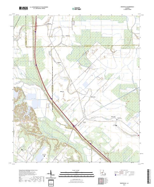
1966 Whiteville
St. Landry Parish, LA
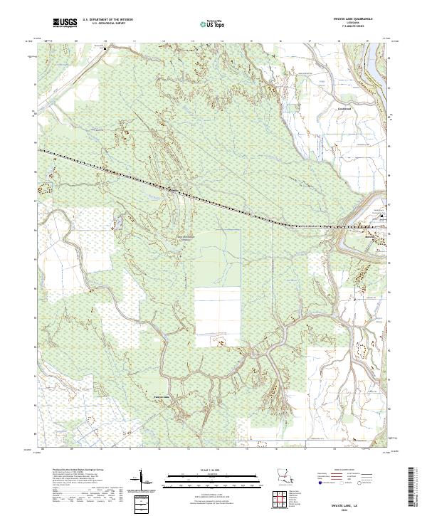
1968 Swayze Lake
St. Landry Parish, LA
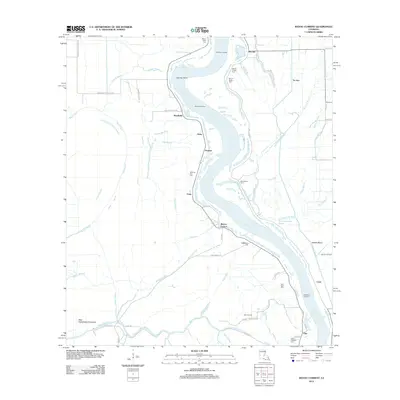
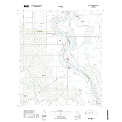
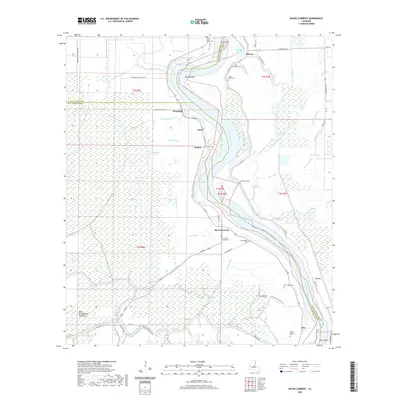
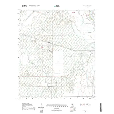
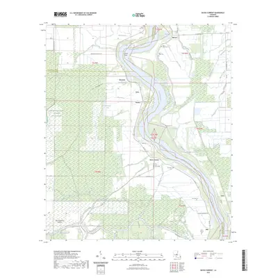
1969 Bayou Current
St. Landry Parish, LA
1969 Bayou Jack
St. Landry Parish, LA
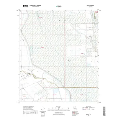
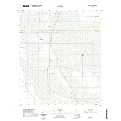
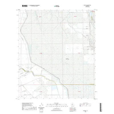
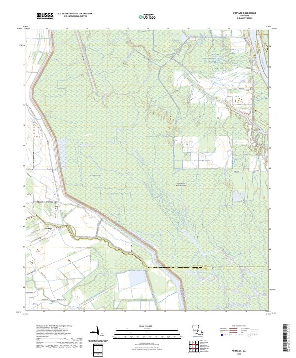
1970 Portage
St. Landry Parish, LA
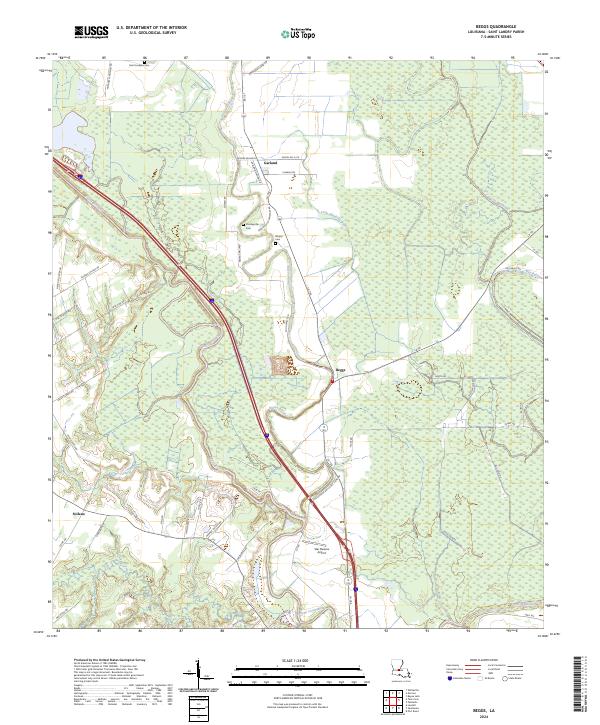
1983 Beggs
St. Landry Parish, LA
1998 Bayou Current
St. Landry Parish, LA
2012 Bayou Current
St. Landry Parish, LA
2012 Bayou Jack
St. Landry Parish, LA
2012 Beggs
St. Landry Parish, LA
2012 Portage
St. Landry Parish, LA
2012 Swayze Lake
St. Landry Parish, LA
2012 Whiteville
St. Landry Parish, LA
2015 Bayou Current
St. Landry Parish, LA
2015 Bayou Jack
St. Landry Parish, LA
2015 Beggs
St. Landry Parish, LA
2015 Portage
St. Landry Parish, LA
2015 Swayze Lake
St. Landry Parish, LA
2015 Whiteville
St. Landry Parish, LA
2018 Bayou Current
St. Landry Parish, LA
2018 Bayou Jack
St. Landry Parish, LA
2018 Beggs
St. Landry Parish, LA
2018 Portage
St. Landry Parish, LA
2018 Swayze Lake
St. Landry Parish, LA
2018 Whiteville
St. Landry Parish, LA
2020 Bayou Current
St. Landry Parish, LA
2020 Bayou Jack
St. Landry Parish, LA
2020 Beggs
St. Landry Parish, LA
2020 Portage
St. Landry Parish, LA
2020 Swayze Lake
St. Landry Parish, LA
2020 Whiteville
St. Landry Parish, LA
2023 Bayou Current
St. Landry Parish, LA
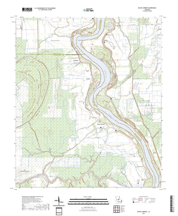
2024 Bayou Current
St. Landry Parish, LA
2024 Bayou Jack
St. Landry Parish, LA
2024 Beggs
St. Landry Parish, LA
2024 Portage
St. Landry Parish, LA
2024 Swayze Lake
St. Landry Parish, LA
2024 Whiteville
St. Landry Parish, LA