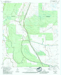
1969 Map of Bayou Jack
USGS Topo · Published 1994About this map
The West Atchafalaya Floodway dominates this landscape along the border of Avoyelles and St. Landry Parishes, illustrating the engineered management of Louisiana's water systems. The Des Glaises Protection Levee West Diversion Channel cuts a straight path through a network of meandering natural waterways like Jack Bayou and Rouge Bayou. Small settlements and social centers are clustered along the western edge of the floodway, providing critical genealogical points for researchers. Points of interest include the Apostolic Ch Cem and Bayou Jack Ch near the community of Bayou Jack, and Mt Olive Ch Cem further south. The map documents a rural riverine economy where small hamlets like Taterville and Nugent were tied to the complex hydrology of the basin, situated among the remnants of ancient watercourses like Horsehead Bayou and Trevissas Bayou.
Find a feature on this map
29 named features on this map. Tap any name to fly to it.
Don’t see what you’re looking for? This feature index may not catch every label — zoom into the map to look around manually.
Map Details
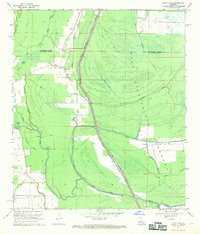
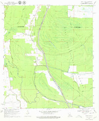
Editions of this 1969 Bayou Jack Map
3 editions found
Other maps of this area

1939 · Opelousas
USGS Topo · 1:62,500

1948 · Bunkie
USGS Topo · 1:62,500

1952 · Lake Charles
USGS Topo · 1:250,000

1954 · Lake Charles
USGS Topo · 1:250,000

1954 · Baton Rouge
USGS Topo · 1:250,000

1955 · Odenburg
USGS Topo · 1:62,500

1956 · Opelousas
USGS Topo · 1:62,500

1956 · Baton Rouge
USGS Topo · 1:250,000

1957 · Opelousas
USGS Topo · 1:62,500

1959 · Palmetto
USGS Topo · 1:62,500